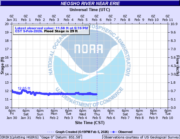
Neosho River near Erie
Critical Stages
27' - Action
29' - Flood
32' - Moderate
36' - Major
Latest Observation
Updated: 10:15 PM CST 12/14/25
Status: No Flooding
Stage: 12.61 ft
Flow: 1.29 kcfs
Forecast
Forecast not available for this location.
| Time | Stage (ft) | Flow (kcfs) |
|---|---|---|
| 10:15 PM 12/14 | 12.61 | 1.29 |
| 10:00 PM 12/14 | 12.61 | 1.29 |
| 9:45 PM 12/14 | 12.61 | 1.29 |
| 9:30 PM 12/14 | 12.61 | 1.29 |
| 9:15 PM 12/14 | 12.61 | 1.29 |
| 9:00 PM 12/14 | 12.6 | 1.28 |
| 8:45 PM 12/14 | 12.6 | 1.28 |
| 8:30 PM 12/14 | 12.61 | 1.29 |
| 8:15 PM 12/14 | 12.6 | 1.28 |
| 8:00 PM 12/14 | 12.6 | 1.28 |
| 7:45 PM 12/14 | 12.6 | 1.28 |
| 7:30 PM 12/14 | 12.6 | 1.28 |
| 7:15 PM 12/14 | 12.6 | 1.28 |
| 7:00 PM 12/14 | 12.6 | 1.28 |
| 6:45 PM 12/14 | 12.59 | 1.27 |
| 6:30 PM 12/14 | 12.6 | 1.28 |
| 6:15 PM 12/14 | 12.59 | 1.27 |
| 6:00 PM 12/14 | 12.6 | 1.28 |
| 5:45 PM 12/14 | 12.59 | 1.27 |
| 5:30 PM 12/14 | 12.6 | 1.28 |
| 5:15 PM 12/14 | 12.59 | 1.27 |
| 5:00 PM 12/14 | 12.59 | 1.27 |
| 4:45 PM 12/14 | 12.58 | 1.26 |
| 4:30 PM 12/14 | 12.53 | 1.2 |
| 4:15 PM 12/14 | 12.59 | 1.27 |
| 4:00 PM 12/14 | 12.53 | 1.2 |
| 3:45 PM 12/14 | 12.49 | 1.15 |
| 3:30 PM 12/14 | 12.58 | 1.26 |
| 3:15 PM 12/14 | 12.59 | 1.27 |
| 3:00 PM 12/14 | 12.53 | 1.2 |
40' -
There is a high possibility that many parts of the levee will be breached. Extensive flooding covers Highway 59 from Erie to the river bridge then again south of the river bridge. Farmlands become inundated. Major flooding occurs on the west side of Erie. From 1 block east of Highway 59 in town between 4th Street to just north of State Street, roads flood and approximately 10 homes and 5 businesses take on 4 feet of water.
39' -
Parts of the levee system overtops and there is a possible breach of the levee system.
37.4' -
Parts of the levee system overtops. Flood waters cover parts of Highway 160th Rd just to the west and to the east of the Shaw community. Streets flood in the south end of Erie along Main Street.
36' -
The intersection of Main Street and just south of 7th Street becomes flooded to a depth of near 10 inches for a distance of 10 to 15 yards.
33' -
The road 7 miles northwest of Erie at 190th Road just west of Big Creek becomes flooded.
29' -
Expect flooding of lowlands along the vicinity of the river.
28' -
The road at 160th Street that is 4 miles northwest of Erie, next to the river, may take on water.
| Date | Stage (ft) |
|---|---|
| Jul 2, 2007 | 40.6 |
| May 27, 2019 | 39.1 |
| Apr 29, 2024 | 37.5 |
| Nov 5, 1998 | 36.96 |
| Oct 11, 2018 | 36.66 |
| Sep 12, 2009 | 35 |
| Apr 30, 2009 | 34.65 |
| Jun 27, 2021 | 34.35 |
| May 9, 2019 | 34.01 |
| May 3, 2019 | 33.85 |
| Aug 27, 2005 | 33.7 |
| May 1, 2017 | 33.48 |
| May 9, 2007 | 33.45 |
| Jun 2, 2022 | 33.3 |
| Sep 12, 2016 | 32.77 |
| Sep 12, 2016 | 32.75 |
| Jun 10, 2008 | 32.35 |
| May 7, 2022 | 32.28 |
| Jun 14, 2005 | 32.2 |
| Sep 14, 2008 | 32.1 |
Data provided by the National Weather Service.