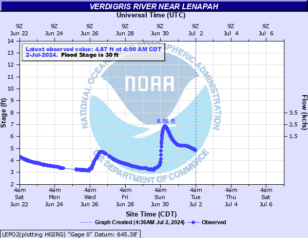
Verdigris River near Lenapah
Critical Stages
30' - Action
30' - Flood
32' - Moderate
36' - Major
Latest Observation
Updated: 12:00 AM CST 12/15/25
Status: No Flooding
Stage: 4.92 ft
Flow: 0.506 kcfs
Forecast
Forecast not available for this location.
| Time | Stage (ft) | Flow (kcfs) |
|---|---|---|
| 12:00 AM 12/15 | 4.92 | 0.506 |
| 11:45 PM 12/14 | 4.92 | 0.506 |
| 11:30 PM 12/14 | 4.93 | 0.512 |
| 11:15 PM 12/14 | 4.93 | 0.512 |
| 11:00 PM 12/14 | 4.93 | 0.512 |
| 10:45 PM 12/14 | 4.93 | 0.512 |
| 10:30 PM 12/14 | 4.94 | 0.518 |
| 10:15 PM 12/14 | 4.94 | 0.518 |
| 10:00 PM 12/14 | 4.94 | 0.518 |
| 9:45 PM 12/14 | 4.94 | 0.518 |
| 9:30 PM 12/14 | 4.95 | 0.524 |
| 9:15 PM 12/14 | 4.95 | 0.524 |
| 9:00 PM 12/14 | 4.96 | 0.53 |
| 8:45 PM 12/14 | 4.96 | 0.53 |
| 8:30 PM 12/14 | 4.96 | 0.53 |
| 8:15 PM 12/14 | 4.96 | 0.53 |
| 8:00 PM 12/14 | 4.97 | 0.536 |
| 7:45 PM 12/14 | 4.97 | 0.536 |
| 7:30 PM 12/14 | 4.97 | 0.536 |
| 7:15 PM 12/14 | 4.98 | 0.543 |
| 7:00 PM 12/14 | 4.98 | 0.543 |
| 6:45 PM 12/14 | 4.98 | 0.543 |
| 6:30 PM 12/14 | 4.98 | 0.543 |
| 6:15 PM 12/14 | 4.99 | 0.549 |
| 6:00 PM 12/14 | 4.99 | 0.549 |
| 5:45 PM 12/14 | 4.99 | 0.549 |
| 5:30 PM 12/14 | 4.99 | 0.549 |
| 5:15 PM 12/14 | 5 | 0.555 |
| 5:00 PM 12/14 | 5 | 0.555 |
| 4:45 PM 12/14 | 5 | 0.555 |
42' -
disasterous flooding occurs between the Kansas border and headwaters of Oologah Lake. Highway 10 east of Lenapah is under several feet of swift water. Highway 169 south of the Kansas border is closed. Highway 28 east of Delaware is closed. Some homes around South Coffeyville are flooded. This approaches the record flood of 43.19 feet from July 2, 2007. This is an extremely dangerous and life threatening situation.
40' -
disastrous flooding occurs between the Kansas border and headwaters of Lake Oologah. State Highway 10 east of Lenapah is under several feet of swift water. Highway 169 south of the Kansas border is closed. This is near the second highest flood of 40.44 feet on May 20, 1943. The record flood at this site is 43.19 feet on July 2, 2007. This is an extremely dangerous and life threatening situation.
39' -
extreme flooding occurs in Nowata County. Many rural roads are closed. State Highway 10 east of Lenapah is under several feet of water. Highway 169 south of the Kansas border is closed. This exceeds the flood of October 5, 1986 when the river reached 38.3 feet and approach the flood of May 8, 1961 when the river reached 39.78 feet. This is an extremely dangerous and life threatening situation.
38' -
extreme flooding occurs in Nowata County. Many rural roads are closed. State Highway 10 east of Lenapah is under several feet of water. Highway 169 south of the Kansas border may be closed. This will be similar to a flood on July 4, 1976 when the river reached 38.6 feet or on October 5, 1986 when the river reached 38.3 feet. This is an extremely dangerous and life threatening situation.
36' -
very serious flooding occurs in Nowata County. This is a dangerous and life threatening situation. Many rural roads are closed. State Highway 10 is impassable at a point 5 miles east of Lenapah.
34' -
serious agricultural flooding occurs between the Kansas border and headwaters of Lake Oologah. State Highway 10 is impassable at a point 5 miles east of Lenapah.
32' -
moderate flooding affects mainly farmland and rural roads. State Highway 10 is threatened by high water at a point 5 miles east of Lenapah.
30' -
minor flooding affects farmland and rural roads.
| Date | Stage (ft) |
|---|---|
| Jul 2, 2007 | 43.19 |
| May 20, 1943 | 40.44 |
| May 8, 1961 | 39.78 |
| Jul 3, 1951 | 38.66 |
| Jul 4, 1976 | 38.6 |
| Apr 18, 1945 | 38.5 |
| Oct 5, 1986 | 38.34 |
| May 28, 2019 | 37.5 |
| Jul 15, 1951 | 37.36 |
| Mar 11, 1974 | 37.21 |
| Apr 12, 1944 | 36.87 |
| May 24, 2019 | 36.66 |
| Apr 12, 1994 | 36.4 |
| Apr 26, 1944 | 36.09 |
| Oct 3, 1945 | 36.03 |
| May 22, 2019 | 36.02 |
| Sep 17, 1961 | 35.98 |
| Jun 23, 1948 | 35.97 |
| Apr 16, 1947 | 35.88 |
| May 1, 2012 | 35.73 |
Data provided by the National Weather Service.