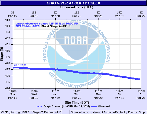
Ohio River at Clifty Creek
Critical Stages
449' - Action
451' - Flood
457' - Moderate
470' - Major
Latest Observation
Updated: 9:00 AM EST 12/16/25
Status: No Flooding
Stage: 422.19 ft
Flow: 84.6 kcfs
Forecast
Forecast not available for this location.
| Time | Stage (ft) | Flow (kcfs) |
|---|---|---|
| 9:00 AM 12/16 | 422.19 | 84.6 |
| 8:45 AM 12/16 | 422.18 | 84.1 |
| 8:30 AM 12/16 | 422.18 | 84.1 |
| 8:15 AM 12/16 | 422.17 | 83.7 |
| 8:00 AM 12/16 | 422.18 | 84.1 |
| 7:45 AM 12/16 | 422.2 | 85 |
| 7:30 AM 12/16 | 422.2 | 85 |
| 7:15 AM 12/16 | 422.18 | 84.1 |
| 7:00 AM 12/16 | 422.2 | 85 |
| 6:45 AM 12/16 | 422.18 | 84.1 |
| 6:30 AM 12/16 | 422.21 | 85.2 |
| 6:15 AM 12/16 | 422.18 | 84.1 |
| 6:00 AM 12/16 | 422.16 | 83.3 |
| 5:45 AM 12/16 | 422.19 | 84.6 |
| 5:30 AM 12/16 | 422.19 | 84.6 |
| 5:15 AM 12/16 | 422.18 | 84.1 |
| 5:00 AM 12/16 | 422.2 | 85 |
| 4:45 AM 12/16 | 422.19 | 84.6 |
| 4:30 AM 12/16 | 422.18 | 84.1 |
| 4:15 AM 12/16 | 422.2 | 85 |
| 4:00 AM 12/16 | 422.18 | 84.1 |
| 3:45 AM 12/16 | 422.2 | 85 |
| 3:30 AM 12/16 | 422.18 | 84.1 |
| 3:15 AM 12/16 | 422.21 | 85.2 |
| 3:00 AM 12/16 | 422.17 | 83.7 |
| 2:45 AM 12/16 | 422.17 | 83.7 |
| 2:30 AM 12/16 | 422.19 | 84.6 |
| 2:15 AM 12/16 | 422.18 | 84.1 |
| 2:00 AM 12/16 | 422.19 | 84.6 |
| 1:45 AM 12/16 | 422.19 | 84.6 |
476' -
Water reaches second story on Vaughn St. Most homes on First streets are flooded. Some business along First St. are flooded.
473' -
All of First St. in Madison is flooded and water enters homes on First Street. West end of Second St. is flooded. Water reaches State Highway 7. Many county roads on both sides are closed.
471' -
Flooding begins in Bethlehem IN.
468' -
Other homes in the west end of Madison are flooded.
466' -
Water reaches main floor of Clifty Creek Power Plant.
464' -
IN 56 floods at Clifty Creek bridge.
458' -
Water reaches State Highway 56 east of Clifty Creek Power Plant. Clifty Creek Park south entrance floods.
457' -
Water covers the west end of First St. Half of Milton KY is flooded. Entrance to Clifty Creek State Park is flooded.
453' -
Water floods Vaughn Drive in Madison in southwest. Water floods city campground in southeast. Water reaches State Highway 56 toward Vevay.
449' -
Lower parts of Milton KY flood. Public landing at Madison floods.
447' -
Road to Hanover Beach is closed.
446' -
Bottomland begins to flood.
| Date | Stage (ft) |
|---|---|
| Jan 27, 1937 | 475.9 |
| Feb 15, 1884 | 464.3 |
| Mar 8, 1945 | 464 |
| Mar 12, 1964 | 463.2 |
| Apr 1, 1913 | 463 |
| Jan 5, 1943 | 462.4 |
| Feb 1, 1883 | 461.8 |
| Mar 7, 1997 | 460.9 |
| Jan 1, 1907 | 459.9 |
| Jan 1, 1832 | 459.6 |
| Apr 18, 1948 | 458.8 |
| Apr 9, 2025 | 458.62 |
| Jan 1, 1933 | 457.6 |
| Feb 26, 2018 | 457.3 |
| Mar 4, 1962 | 456.4 |
| Mar 23, 1943 | 455.2 |
| Mar 10, 1955 | 454.9 |
| Mar 28, 1936 | 454.5 |
| Feb 6, 1950 | 454.4 |
| Mar 12, 1967 | 454.2 |
Data provided by the National Weather Service.