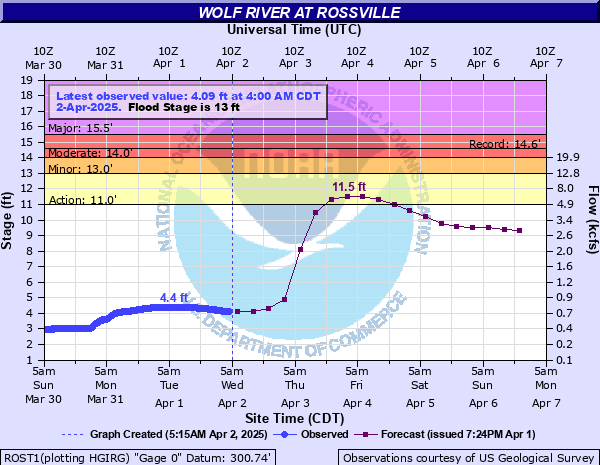
Wolf River at Rossville
Critical Stages
11' - Action
13' - Flood
14' - Moderate
15.5' - Major
Latest Observation
Updated: 1:00 PM CST 12/15/25
Status: No Flooding
Stage: 2.41 ft
Flow: 0.433 kcfs
Forecast
| Time | Stage (ft) | Flow (kcfs) |
|---|---|---|
| 6 PM 12/15 | 2.4 | 0.432 |
| 12 AM 12/16 | 2.4 | 0.432 |
| 6 AM 12/16 | 2.4 | 0.432 |
| 12 PM 12/16 | 2.4 | 0.432 |
| 6 PM 12/16 | 2.3 | 0.415 |
| 12 AM 12/17 | 2.3 | 0.415 |
| 6 AM 12/17 | 2.3 | 0.415 |
| 12 PM 12/17 | 2.3 | 0.415 |
| 6 PM 12/17 | 2.3 | 0.415 |
| 12 AM 12/18 | 2.3 | 0.415 |
| 6 AM 12/18 | 2.2 | 0.396 |
| 12 PM 12/18 | 2.2 | 0.396 |
| 6 PM 12/18 | 2.2 | 0.396 |
| 12 AM 12/19 | 2.2 | 0.396 |
| 6 AM 12/19 | 2.2 | 0.396 |
| 12 PM 12/19 | 2.2 | 0.396 |
| 6 PM 12/19 | 2.1 | 0.361 |
| 12 AM 12/20 | 2.1 | 0.361 |
| 6 AM 12/20 | 2.1 | 0.361 |
| Time | Stage (ft) | Flow (kcfs) |
|---|---|---|
| 1:00 PM 12/15 | 2.41 | 0.433 |
| 12:45 PM 12/15 | 2.41 | 0.433 |
| 12:30 PM 12/15 | 2.42 | 0.435 |
| 12:15 PM 12/15 | 2.42 | 0.435 |
| 12:00 PM 12/15 | 2.42 | 0.435 |
| 11:45 AM 12/15 | 2.43 | 0.437 |
| 11:30 AM 12/15 | 2.43 | 0.437 |
| 11:15 AM 12/15 | 2.42 | 0.435 |
| 11:00 AM 12/15 | 2.42 | 0.435 |
| 10:45 AM 12/15 | 2.43 | 0.437 |
| 10:30 AM 12/15 | 2.43 | 0.437 |
| 10:15 AM 12/15 | 2.43 | 0.437 |
| 10:00 AM 12/15 | 2.43 | 0.437 |
| 9:45 AM 12/15 | 2.43 | 0.437 |
| 9:30 AM 12/15 | 2.43 | 0.437 |
| 9:15 AM 12/15 | 2.42 | 0.435 |
| 9:00 AM 12/15 | 2.43 | 0.437 |
| 8:45 AM 12/15 | 2.42 | 0.435 |
| 8:30 AM 12/15 | 2.41 | 0.433 |
| 8:15 AM 12/15 | 2.42 | 0.435 |
| 8:00 AM 12/15 | 2.42 | 0.435 |
| 7:45 AM 12/15 | 2.42 | 0.435 |
| 7:30 AM 12/15 | 2.41 | 0.433 |
| 7:15 AM 12/15 | 2.42 | 0.435 |
| 7:00 AM 12/15 | 2.42 | 0.435 |
| 6:45 AM 12/15 | 2.41 | 0.433 |
| 6:30 AM 12/15 | 2.42 | 0.435 |
| 6:15 AM 12/15 | 2.43 | 0.437 |
| 6:00 AM 12/15 | 2.42 | 0.435 |
| 5:45 AM 12/15 | 2.42 | 0.435 |
16' -
Evacuations will be necessary for residential areas in Rossville near the Wolf River in southwest Fayette County and southeast Shelby County. Numerous roads in this area will be impassable.
15' -
Highways 196 and 205 and Houston Levee Road are flooded. Numerous homes near the Wolf River will be flooded, especially north of Collierville. Flood water will back up into low-lying areas of Rossville.
14' -
Flood water begins to flow over Highways 196 and 205 and Houston Levee Road near the Wolf River. Morrison Creek at Rossville will begin to backwater flood around the businesses near the railroad tracks. Collierville-Arlington road is flooding or flooded near the Wolf River Bridge. Residential areas near the river in southeast Shelby County will begin to flood.
13' -
Small creeks that flow into the Wolf River will begin to back up. Flooding will begin near the Wolf River north of Piperton and north of Collierville.
12.6' -
Fayette County Highway 194 begins to flood.
11' -
Flooding begins in lowland areas near the Wolf River.
| Date | Stage (ft) |
|---|---|
| Nov 30, 2001 | 14.57 |
| Mar 11, 2016 | 14.48 |
| Apr 28, 2011 | 14.46 |
| Apr 7, 2025 | 14.23 |
| May 3, 2010 | 14.23 |
| Feb 24, 2019 | 14.09 |
| Jan 20, 1935 | 13.75 |
| Dec 20, 2002 | 13.16 |
| Jan 14, 2013 | 12.96 |
| Sep 2, 2017 | 12.91 |
| May 7, 2003 | 12.8 |
| Feb 6, 2004 | 11.98 |
| Feb 23, 2015 | 11.73 |
| Feb 6, 2014 | 11.63 |
| Apr 8, 2005 | 11.57 |
| Jan 24, 2006 | 11.54 |
| Apr 5, 2008 | 11.33 |
| Mar 28, 2009 | 10.6 |
| Mar 9, 2012 | 7.96 |
| Jan 9, 2007 | 7.59 |
Data provided by the National Weather Service.