« Back to Congaree National Park Rivers
Santee River at Lake Marion
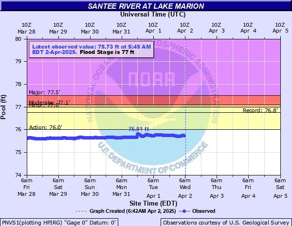
Critical Stages
76' - Action
77' - Flood
77.1' - Moderate
77.5' - Major
Latest Observation
Updated: 3:45 AM EST 12/15/25
Status: No Flooding
Stage: 74.92 ft
Flow: -999 kcfs
Forecast
Forecast not available for this location.
| Time | Stage (ft) | Flow (kcfs) |
|---|---|---|
| 3:45 AM 12/15 | 74.92 | -999 |
| 3:30 AM 12/15 | 74.93 | -999 |
| 3:15 AM 12/15 | 74.93 | -999 |
| 3:00 AM 12/15 | 74.94 | -999 |
| 2:45 AM 12/15 | 74.95 | -999 |
| 2:30 AM 12/15 | 74.95 | -999 |
| 2:15 AM 12/15 | 74.96 | -999 |
| 2:00 AM 12/15 | 74.96 | -999 |
| 1:45 AM 12/15 | 74.96 | -999 |
| 1:30 AM 12/15 | 74.96 | -999 |
| 1:15 AM 12/15 | 74.96 | -999 |
| 1:00 AM 12/15 | 74.96 | -999 |
| 12:45 AM 12/15 | 74.96 | -999 |
| 12:30 AM 12/15 | 74.96 | -999 |
| 12:15 AM 12/15 | 74.97 | -999 |
| 12:00 AM 12/15 | 74.97 | -999 |
| 11:45 PM 12/14 | 74.96 | -999 |
| 11:30 PM 12/14 | 74.96 | -999 |
| 11:15 PM 12/14 | 74.96 | -999 |
| 11:00 PM 12/14 | 74.97 | -999 |
| 10:45 PM 12/14 | 74.97 | -999 |
| 10:30 PM 12/14 | 74.98 | -999 |
| 10:15 PM 12/14 | 74.98 | -999 |
| 10:00 PM 12/14 | 74.99 | -999 |
| 9:45 PM 12/14 | 75 | -999 |
| 9:30 PM 12/14 | 75 | -999 |
| 9:15 PM 12/14 | 75 | -999 |
| 9:00 PM 12/14 | 75.01 | -999 |
| 8:45 PM 12/14 | 75.01 | -999 |
| 8:30 PM 12/14 | 75.01 | -999 |
77.5' -
Structures on the shore of Lake Marion and low lying islands are threaten by flood water.
77.09' -
Flood water approaches roads nearest the lake.
77' -
Flood stage - areas and beaches on Lake Marion begin to flood.
76.8' -
Full pool
76' -
Swamps in the upper reaches of Lake Marion begin to fill.
| Date | Stage (ft) |
|---|---|
| Dec 19, 2009 | 76.76 |
| Dec 15, 2009 | 76.65 |
| Dec 25, 2009 | 76.64 |
| Feb 17, 2010 | 76.62 |
| Nov 22, 2009 | 76.61 |
| Feb 2, 2010 | 76.61 |
| Jan 5, 2010 | 76.6 |
| Dec 9, 2009 | 76.6 |
| Jan 25, 2010 | 76.17 |
Data provided by the National Weather Service.