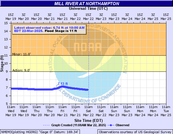
Mill River at Northampton
Critical Stages
9' - Action
11' - Flood
Moderate
Major
Latest Observation
Updated: 10:00 AM EST 12/6/25
Status: No Flooding
Stage: 5.96 ft
Flow: 0.0472 kcfs
Forecast
Forecast not available for this location.
| Time | Stage (ft) | Flow (kcfs) |
|---|---|---|
| 10:00 AM 12/6 | 5.96 | 0.0472 |
| 9:45 AM 12/6 | 5.97 | 0.0481 |
| 9:30 AM 12/6 | 5.96 | 0.0472 |
| 9:15 AM 12/6 | 5.96 | 0.0472 |
| 9:00 AM 12/6 | 5.96 | 0.0472 |
| 8:45 AM 12/6 | 5.96 | 0.0472 |
| 8:30 AM 12/6 | 5.96 | 0.0472 |
| 8:15 AM 12/6 | 5.96 | 0.0472 |
| 8:00 AM 12/6 | 5.96 | 0.0472 |
| 7:45 AM 12/6 | 5.96 | 0.0472 |
| 7:30 AM 12/6 | 5.97 | 0.0481 |
| 7:15 AM 12/6 | 5.96 | 0.0472 |
| 7:00 AM 12/6 | 5.97 | 0.0481 |
| 6:45 AM 12/6 | 5.97 | 0.0481 |
| 6:30 AM 12/6 | 5.97 | 0.0481 |
| 6:15 AM 12/6 | 5.97 | 0.0481 |
| 6:00 AM 12/6 | 5.96 | 0.0472 |
| 5:45 AM 12/6 | 5.97 | 0.0481 |
| 5:30 AM 12/6 | 5.97 | 0.0481 |
| 5:15 AM 12/6 | 5.97 | 0.0481 |
| 5:00 AM 12/6 | 5.96 | 0.0472 |
| 4:46 AM 12/6 | 5.97 | 0.0481 |
| 4:45 AM 12/6 | 5.97 | 0.0481 |
| 4:30 AM 12/6 | 5.97 | 0.0481 |
| 4:15 AM 12/6 | 5.96 | 0.0472 |
| 4:00 AM 12/6 | 5.97 | 0.0481 |
| 3:45 AM 12/6 | 5.97 | 0.0481 |
| 3:30 AM 12/6 | 5.97 | 0.0481 |
| 3:15 AM 12/6 | 5.97 | 0.0481 |
| 3:00 AM 12/6 | 5.97 | 0.0481 |
15' -
Backwater flooding into feeder streams results in multiple road closures in the Florence section of Northampton. In addition, Meadow Street in Northampton is flooded. Floodwaters inundate Maines Field, and floodwaters affect lowest lying homes in Leeds Center as well as lowest lying industries above the Pine Street Dam in Florence. Farm roads in the Oxbow floodplain are closed, as well as the Smith College River Walk Path.
14' -
Floodwaters inundate Maines Field and result in the closure of Meadow Street. Floodwaters encroach on low lying homes in Leeds Center as well as lowest lying industries along the mill above the Pine Street Dam in Florence. Farm roads in the Oxbow floodplain are inundated as well as portions of the Smith College River Walk Path.
13' -
River flooding result in the closure of Meadow Street. Floodwaters encroach on lowest lying homes in Leeds Center and lowest lying industries above the Pine Street Dam in Florence. Farm roads in the Oxbow floodplain near the Mill River are inundated and the Smith College River Walk Path is closed.
12' -
The Smith College River Walk Path is flooded. Farm roads in the Oxbow floodplain near the Mill River in Northampton are inundated.
11' -
Flooding occurs along the Smith College River Walk Path in Northampton.
| Date | Stage (ft) |
|---|---|
| Aug 28, 2011 | 16.42 |
| Apr 16, 2007 | 15.58 |
| Dec 18, 2023 | 14.37 |
| Oct 9, 2005 | 13.72 |
| Feb 25, 2016 | 13.47 |
| Apr 12, 2024 | 12.83 |
| Oct 30, 2017 | 12.8 |
| Apr 3, 2005 | 12.73 |
| Dec 25, 2020 | 12.39 |
| Sep 30, 2015 | 12.32 |
| Mar 7, 2011 | 12.26 |
| Sep 29, 2011 | 12.2 |
| Sep 28, 2003 | 12.11 |
| Mar 31, 2010 | 11.83 |
| Mar 9, 2008 | 11.81 |
| Aug 19, 1955 | 11.78 |
| Dec 21, 2018 | 11.64 |
| Dec 12, 2008 | 11.55 |
| Sep 7, 2011 | 11.5 |
| Sep 2, 2021 | 11.45 |
Data provided by the National Weather Service.