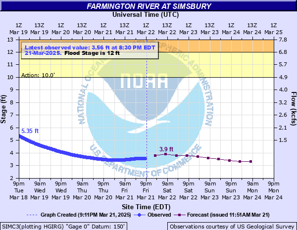
Farmington River at Simsbury
Critical Stages
10' - Action
12' - Flood
15' - Moderate
18' - Major
Latest Observation
Updated: 9:30 AM EST 12/6/25
Status: No Flooding
Stage: 2.15 ft
Flow: -999 kcfs
Forecast
| Time | Stage (ft) | Flow (kcfs) |
|---|---|---|
| 1 PM 12/6 | 2.2 | -999 |
| 7 PM 12/6 | 2.2 | -999 |
| 1 AM 12/7 | 2.2 | -999 |
| 7 AM 12/7 | 2.2 | -999 |
| 1 PM 12/7 | 2.1 | -999 |
| 7 PM 12/7 | 2.1 | -999 |
| 1 AM 12/8 | 2.1 | -999 |
| 7 AM 12/8 | 2.1 | -999 |
| Time | Stage (ft) | Flow (kcfs) |
|---|---|---|
| 9:30 AM 12/6 | 2.15 | -999 |
| 9:15 AM 12/6 | 2.15 | -999 |
| 9:00 AM 12/6 | 2.15 | -999 |
| 8:45 AM 12/6 | 2.15 | -999 |
| 8:30 AM 12/6 | 2.15 | -999 |
| 8:15 AM 12/6 | 2.15 | -999 |
| 8:00 AM 12/6 | 2.15 | -999 |
| 7:45 AM 12/6 | 2.15 | -999 |
| 7:31 AM 12/6 | 2.15 | -999 |
| 7:30 AM 12/6 | 2.15 | -999 |
| 7:15 AM 12/6 | 2.15 | -999 |
| 7:00 AM 12/6 | 2.15 | -999 |
| 6:45 AM 12/6 | 2.15 | -999 |
| 6:30 AM 12/6 | 2.15 | -999 |
| 6:15 AM 12/6 | 2.15 | -999 |
| 6:00 AM 12/6 | 2.15 | -999 |
| 5:45 AM 12/6 | 2.15 | -999 |
| 5:30 AM 12/6 | 2.15 | -999 |
| 5:15 AM 12/6 | 2.15 | -999 |
| 5:00 AM 12/6 | 2.15 | -999 |
| 4:45 AM 12/6 | 2.15 | -999 |
| 4:30 AM 12/6 | 2.15 | -999 |
| 4:15 AM 12/6 | 2.15 | -999 |
| 4:00 AM 12/6 | 2.15 | -999 |
| 3:45 AM 12/6 | 2.15 | -999 |
| 3:30 AM 12/6 | 2.15 | -999 |
| 3:15 AM 12/6 | 2.15 | -999 |
| 3:00 AM 12/6 | 2.15 | -999 |
| 2:45 AM 12/6 | 2.16 | -999 |
| 1:31 AM 12/6 | 2.17 | -999 |
30' -
Widespread catastrophic flooding occurs throughout the Valley. Follow the advice of local officials, and evacuate if asked to do so.
22' -
Widespread flooding will affect portions of Farmington, Avon, Simsbury, Bloomfield and East Granby. Follow the advice of local officials, and evacuate if asked to do so.
18' -
This is a serious flood event and will affect numerous areas along the river. Act now to protect life and property. Follow the directions of your local emergency management officials. If you are asked to evacuate do so immediately.
16' -
Moderate flooding occurs with numerous roads and residences affected. Evacuations may be needed along various roads in Avon and Simsbury, including Riverside Road in Simsbury. Flooding also begins to affect low lying sections of Bloomfield and East Granby. Follow the directions of emergency management officials and obey all road closures.
15' -
Moderate flooding begins with numerous roads and residences affected. Evacuations may be needed along various roads in Avon and Simsbury, including Riverside Road in Simsbury. Flooding also begins to affect low lying sections of Bloomfield and East Granby. Follow the directions of emergency management officials and obey all road closures.
13' -
Flooding affects Old Farms and Tillotson Roads in Avon, Meadow Road in Farmington, and Nod, Riverside, and Terrys Plain Roads in Simsbury. Route 315 in Simsbury is also impacted. Flooding spreads into Plantation Country Club and adjoining Town Farm Road in Simsbury. Also, flooding will approach the Paine Boathouse.
12' -
Flooding begins on Riverside Road in Simsbury. Flooding also begins along Old Bridge and Drake Hill Roads.
| Date | Stage (ft) |
|---|---|
| Aug 20, 1955 | 30.1 |
| Oct 17, 1955 | 22.1 |
| Jan 2, 1949 | 18.2 |
| Nov 5, 1927 | 17.8 |
| Aug 29, 2011 | 16.98 |
| Apr 17, 2007 | 16.64 |
| Jun 1, 1984 | 16.17 |
| Mar 22, 1980 | 16 |
| Mar 8, 2011 | 15.5 |
| Apr 6, 1987 | 15.3 |
| Mar 8, 1979 | 15 |
| Oct 16, 2005 | 14.7 |
| Sep 27, 1975 | 14.5 |
| May 14, 2006 | 14.49 |
| Sep 3, 2021 | 14.38 |
| Apr 8, 1984 | 14.3 |
| Apr 21, 1983 | 14.24 |
| Sep 9, 2011 | 14.23 |
| Dec 23, 1973 | 14 |
| Oct 1, 2023 | 13.97 |
Data provided by the National Weather Service.