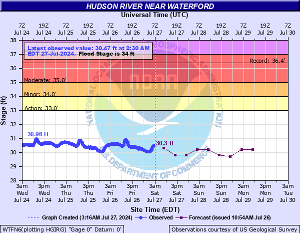
Hudson River near Waterford
Critical Stages
33' - Action
34' - Flood
35' - Moderate
37' - Major
Latest Observation
Updated: 10:30 AM EST 12/6/25
Status: No Flooding
Stage: 19.68 ft
Flow: 4.39 kcfs
Forecast
| Time | Stage (ft) | Flow (kcfs) |
|---|---|---|
| 1 PM 12/6 | 19.8 | 4.72 |
| 7 PM 12/6 | 19.8 | 4.72 |
| 1 AM 12/7 | 19.8 | 4.72 |
| 7 AM 12/7 | 19.8 | 4.72 |
| 1 PM 12/7 | 19.8 | 4.72 |
| 7 PM 12/7 | 19.8 | 4.72 |
| 1 AM 12/8 | 19.8 | 4.72 |
| 7 AM 12/8 | 19.8 | 4.72 |
| Time | Stage (ft) | Flow (kcfs) |
|---|---|---|
| 10:30 AM 12/6 | 19.68 | 4.39 |
| 10:15 AM 12/6 | 19.67 | 4.37 |
| 10:00 AM 12/6 | 19.68 | 4.39 |
| 9:45 AM 12/6 | 19.68 | 4.39 |
| 9:30 AM 12/6 | 19.68 | 4.39 |
| 9:15 AM 12/6 | 19.67 | 4.37 |
| 9:00 AM 12/6 | 19.67 | 4.37 |
| 8:45 AM 12/6 | 19.66 | 4.34 |
| 8:30 AM 12/6 | 19.64 | 4.29 |
| 8:15 AM 12/6 | 19.63 | 4.26 |
| 8:00 AM 12/6 | 19.62 | 4.23 |
| 7:45 AM 12/6 | 19.61 | 4.21 |
| 7:30 AM 12/6 | 19.59 | 4.16 |
| 7:15 AM 12/6 | 19.58 | 4.13 |
| 7:00 AM 12/6 | 19.57 | 4.11 |
| 6:45 AM 12/6 | 19.57 | 4.11 |
| 6:30 AM 12/6 | 19.57 | 4.11 |
| 6:15 AM 12/6 | 19.57 | 4.11 |
| 6:00 AM 12/6 | 19.57 | 4.11 |
| 5:45 AM 12/6 | 19.57 | 4.11 |
| 5:30 AM 12/6 | 19.59 | 4.16 |
| 5:15 AM 12/6 | 19.61 | 4.21 |
| 5:00 AM 12/6 | 19.65 | 4.31 |
| 4:45 AM 12/6 | 19.7 | 4.45 |
| 4:30 AM 12/6 | 19.76 | 4.61 |
| 4:15 AM 12/6 | 19.82 | 4.78 |
| 4:00 AM 12/6 | 19.85 | 4.86 |
| 3:45 AM 12/6 | 19.86 | 4.89 |
| 3:30 AM 12/6 | 19.84 | 4.83 |
| 3:15 AM 12/6 | 19.83 | 4.81 |
37' -
The river is at major flood stage.
36' -
Widespread and significant flooding of riverfront properties.
35' -
The river is at moderate flood stage.
34' -
The river is at minor flood stage with widespread flooding in the area and the docks at Lock One Marina are under water.
33' -
The river is at action stage with nearby walkways and docks starting to overflow.
| Date | Stage (ft) |
|---|---|
| May 30, 1984 | 36.38 |
| May 4, 1983 | 35.59 |
| May 13, 1996 | 34.76 |
| Aug 29, 2011 | 34.6 |
| May 22, 1990 | 34.38 |
| Aug 29, 2011 | 34.36 |
| Apr 23, 1993 | 34.36 |
| Dec 2, 1996 | 34.15 |
| Apr 17, 1994 | 33.93 |
| May 7, 1989 | 33.7 |
| Nov 11, 1990 | 33.7 |
| May 4, 1992 | 33.37 |
| Mar 30, 1993 | 32.9 |
| Jan 9, 1998 | 32.5 |
| Dec 6, 1994 | 32.23 |
| Mar 18, 1990 | 31.64 |
| Apr 29, 2011 | 30.87 |
| Jan 25, 1999 | 27.45 |
| Apr 7, 1989 | 26.6 |
| Jan 17, 1995 | 23.78 |
Data provided by the National Weather Service.