Grand River at Robinson Township
Critical Stages
13' - Action
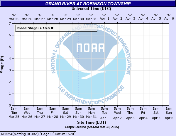
13.3' - Flood
15' - Moderate
18' - Major
Latest Observation
Updated: 7:03 PM LMT 12/31/00
Status: Obs Not Current
Stage: -999 ft
Flow: -999 kcfs
Forecast
Forecast not available for this location.
Observation history not available.
18.3' -
Flood of record. Major flooding of homes along Vanlopik Road and homes along Limberlost Road are flooded. Vanlopik Road is under 4 to 5 feet of water. Water reaches seat-cushion level in several homes.
17' -
Vanlopik Road is 3 to 4 feet under water. Moderate flooding of several homes in Vanlopik subdivision occurs.
16' -
Vanlopik Road is 2 to 3 feet under water. Moderate flooding of several homes on the east end of Vanlopik subdivision occurs.
15' -
Vanlopik Road is 1 to 2 feet under water. Moderate flooding of several homes on the east end of Vanlopik subdivision occurs.
13.92' -
Several homes in Vanlopik subdivision are surrounded by water.
13.7' -
Two houses in the Vanlopik subdivision begin to be surrounded by water.
13.6' -
Eastern edge of Vanlopik and the western edge of Limberlost Roads begin to flood. Flooding begins to occur in low lying areas in Deer Creek Park.
13.3' -
Minor flooding begins in low areas.
13' -
River is bankfull.
| Date | Stage (ft) |
|---|---|
| Jan 21, 2005 | 18.3 |
| Feb 25, 1994 | 18 |
| Apr 19, 2013 | 17 |
| May 28, 2004 | 16.2 |
| Feb 26, 2018 | 16.08 |
| May 23, 2020 | 15.8 |
| Mar 28, 1997 | 15.6 |
| Feb 8, 2013 | 15.1 |
| Dec 28, 2008 | 14.9 |
| Apr 12, 2017 | 14.85 |
| May 24, 2000 | 14.8 |
| May 2, 2009 | 14.62 |
| Jan 27, 1997 | 14.5 |
| Jan 19, 2020 | 14.35 |
| Jan 16, 2016 | 14.2 |
| Jan 16, 2016 | 14.2 |
| Dec 31, 1996 | 13.92 |
| Jan 5, 2020 | 13.9 |
| Jan 19, 2017 | 13.9 |
| Apr 30, 2020 | 13.85 |
Data provided by the National Weather Service.