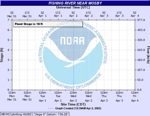
Fishing River near Mosby
Critical Stages
12' - Action
18' - Flood
26' - Moderate
29' - Major
Latest Observation
Updated: 6:09 PM LMT 12/31/00
Status: Obs Not Current
Stage: -999 ft
Flow: -999 kcfs
Forecast
Forecast not available for this location.
Observation history not available.
34' -
Ninety percent of Mosby is flooded.
33' -
Water reaches the bottom of the southbound U.S. Highway 69 bridge.
29' -
Flooding of low-lying houses begins.
27' -
East Mosby Road is flooded. All roads into or out of Mosby are under water and impassable.
26' -
6th Street is flooded. East Mosby Road is the only passable road into or out of town.
25' -
Both Pony Express Road north of the city and 3rd Street on the south side of Mosby are flooded. 6th Street and East Mosby Road are the only passable roads into or out of town.
18' -
Fields near Mosby flood and a low-water crossing on west road is impassable.
| Date | Stage (ft) |
|---|---|
| Jul 19, 1965 | 33.8 |
| May 17, 2015 | 30.1 |
| Aug 27, 2016 | 29.8 |
| May 7, 2007 | 29.7 |
| May 18, 1974 | 29.6 |
| Oct 5, 1998 | 29.5 |
| Jun 4, 2015 | 28.9 |
| May 15, 2009 | 27.5 |
| Jun 26, 2015 | 27.5 |
| Sep 13, 1977 | 27.5 |
| Jul 21, 1996 | 27.200000762939 |
| Aug 22, 2017 | 26.9 |
| Jun 6, 2001 | 26.8 |
| Sep 22, 2010 | 26.2 |
| May 13, 2010 | 26.1 |
| Jun 4, 2001 | 26 |
| Sep 13, 2008 | 25.9 |
| Jul 20, 1995 | 25.8 |
| Apr 23, 1999 | 25.6 |
| May 31, 2022 | 25.5 |
Data provided by the National Weather Service.