« Back to Crystal Falls Rivers
Menominee River at Niagara
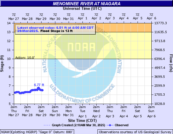
Critical Stages
10' - Action
13' - Flood
15' - Moderate
16' - Major
Latest Observation
Updated: 5:00 AM CST 12/16/25
Status: No Flooding
Stage: 5.57 ft
Flow: 1.38 kcfs
Forecast
Forecast not available for this location.
| Time | Stage (ft) | Flow (kcfs) |
|---|---|---|
| 6:00 AM 12/16 | 5.61 | 1.41 |
| 5:55 AM 12/16 | 5.6 | 1.4 |
| 5:50 AM 12/16 | 5.6 | 1.4 |
| 5:45 AM 12/16 | 5.6 | 1.4 |
| 5:40 AM 12/16 | 5.6 | 1.4 |
| 5:35 AM 12/16 | 5.59 | 1.4 |
| 5:30 AM 12/16 | 5.59 | 1.4 |
| 5:25 AM 12/16 | 5.59 | 1.4 |
| 5:20 AM 12/16 | 5.58 | 1.39 |
| 5:15 AM 12/16 | 5.58 | 1.39 |
| 5:10 AM 12/16 | 5.58 | 1.39 |
| 5:05 AM 12/16 | 5.58 | 1.39 |
| 5:00 AM 12/16 | 5.57 | 1.38 |
| 4:55 AM 12/16 | 5.57 | 1.38 |
| 4:50 AM 12/16 | 5.57 | 1.38 |
| 4:45 AM 12/16 | 5.56 | 1.37 |
| 4:40 AM 12/16 | 5.56 | 1.37 |
| 4:35 AM 12/16 | 5.56 | 1.37 |
| 4:30 AM 12/16 | 5.56 | 1.37 |
| 4:25 AM 12/16 | 5.55 | 1.37 |
| 4:20 AM 12/16 | 5.55 | 1.37 |
| 4:15 AM 12/16 | 5.55 | 1.37 |
| 4:10 AM 12/16 | 5.54 | 1.36 |
| 4:05 AM 12/16 | 5.54 | 1.36 |
| 4:00 AM 12/16 | 5.54 | 1.36 |
| 3:55 AM 12/16 | 5.54 | 1.36 |
| 3:50 AM 12/16 | 5.53 | 1.35 |
| 3:45 AM 12/16 | 5.53 | 1.35 |
| 3:40 AM 12/16 | 5.53 | 1.35 |
| 3:35 AM 12/16 | 5.52 | 1.35 |
16' -
The Kingsford and Niagara Parks are flooded. In Niagara, floodwaters affect Sherman Street and the former Stora Enso Mill, as well as the United Methodist Church. In Southern Dickinson County Michigan, water is covering Highway 577, and a trailer park in the city of Quinnesec is flooded. River Road in Aurora is covered by floodwaters.
15.5' -
Water is covering adjacent parks in both Kingsford and Niagara. River Road in Aurora is covered with water.
15' -
Floodwaters reach the Aurora Fire Protection station.
14.5' -
In the city of Niagara, water begins to cover the Niagara boat landing on Tyler Road, and water approaches homes along Sherman Street.
13' -
Water approaches the parking lot of the Union Protestant Church.
11.5' -
Near 8200 cfs, Piers Gorge downstream considered high for local rafting companies.
10' -
Which is bankfull stage, there is flooding of lowland. Piers Gorge rapids downstream become active.
7.5' -
7.5 feet or 3000 cfs is considered the top end for the ideal range for local rafting companies downstream.
5' -
5.0 feet or 1000 cfs, is considered the low-end of ideal conditions for rafting downstream.
| Date | Stage (ft) |
|---|---|
| Apr 19, 2002 | 16.22 |
| Apr 16, 2023 | 15.42 |
| Apr 27, 1996 | 15.11 |
| Apr 27, 1996 | 15.11 |
| Apr 24, 2019 | 14.52 |
| May 3, 2013 | 13.48 |
| Apr 21, 2004 | 13.21 |
| Apr 6, 1997 | 12.37 |
| May 1, 2020 | 12.36 |
| Apr 15, 2021 | 12.17 |
| Apr 13, 2017 | 12.17 |
| Apr 1, 1998 | 11.9 |
| May 28, 2015 | 11.81 |
| May 7, 1993 | 11.02 |
| Sep 5, 2018 | 10.62 |
| May 17, 1995 | 10.23 |
| Mar 25, 2021 | 9.97 |
| Mar 18, 2016 | 9.84 |
Data provided by the National Weather Service.