« Back to Darlington Heights Rivers
Roanoke River at Altavista
Critical Stages
16' - Action
18' - Flood
24' - Moderate
29' - Major
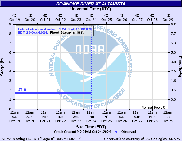
Latest Observation
Updated: 5:00 PM EST 12/15/25
Status: No Flooding
Stage: 1.91 ft
Flow: 0.654 kcfs
Forecast
Forecast not available for this location.
| Time | Stage (ft) | Flow (kcfs) |
|---|---|---|
| 6:00 PM 12/15 | 1.92 | 0.662 |
| 5:45 PM 12/15 | 1.92 | 0.662 |
| 5:30 PM 12/15 | 1.91 | 0.654 |
| 5:15 PM 12/15 | 1.91 | 0.654 |
| 5:00 PM 12/15 | 1.91 | 0.654 |
| 4:45 PM 12/15 | 1.9 | 0.647 |
| 4:30 PM 12/15 | 1.9 | 0.647 |
| 4:15 PM 12/15 | 1.9 | 0.647 |
| 4:00 PM 12/15 | 1.9 | 0.647 |
| 3:45 PM 12/15 | 1.89 | 0.64 |
| 3:30 PM 12/15 | 1.89 | 0.64 |
| 3:15 PM 12/15 | 1.89 | 0.64 |
| 3:00 PM 12/15 | 1.89 | 0.64 |
| 2:45 PM 12/15 | 1.88 | 0.632 |
| 2:30 PM 12/15 | 1.88 | 0.632 |
| 2:15 PM 12/15 | 1.88 | 0.632 |
| 2:00 PM 12/15 | 1.88 | 0.632 |
| 1:45 PM 12/15 | 1.87 | 0.625 |
| 1:30 PM 12/15 | 1.87 | 0.625 |
| 1:15 PM 12/15 | 1.88 | 0.632 |
| 1:00 PM 12/15 | 1.88 | 0.632 |
| 12:45 PM 12/15 | 1.88 | 0.632 |
| 12:30 PM 12/15 | 1.87 | 0.625 |
| 12:15 PM 12/15 | 1.86 | 0.618 |
| 12:00 PM 12/15 | 1.87 | 0.625 |
| 11:45 AM 12/15 | 1.85 | 0.61 |
| 11:30 AM 12/15 | 1.86 | 0.618 |
| 11:15 AM 12/15 | 1.85 | 0.61 |
| 11:00 AM 12/15 | 1.87 | 0.625 |
| 10:45 AM 12/15 | 1.87 | 0.625 |
42.2' -
Old Lane Furntiure main plant flooded.
32.9' -
Town's filtration plant flooded.
32' -
Old lane furniture warehouse flooded.
29' -
Low spots in and around altavista begin to flood.
27.9' -
Filtration plant at hurt begins to flood.
23' -
Minor lowland flooding.
18' -
Water begins to flood lowland pastures/farmlands.
| Date | Stage (ft) |
|---|---|
| Aug 15, 1940 | 40.08 |
| Sep 8, 1987 | 34.45 |
| Oct 20, 1937 | 31.27 |
| Oct 16, 1954 | 31.23 |
| Sep 19, 1944 | 31.1 |
| Dec 4, 1948 | 30.84 |
| Aug 19, 1939 | 29.6 |
| Oct 18, 1932 | 29.3 |
| Jun 23, 1995 | 28.44 |
| Sep 19, 1945 | 28.3 |
| Apr 27, 1978 | 27.68 |
| Jan 20, 1936 | 27.66 |
| Sep 1, 1951 | 27.46 |
| Nov 5, 1985 | 27.38 |
| Jun 22, 1972 | 26.78 |
| Oct 1, 1959 | 26.15 |
| Dec 1, 1934 | 26.01 |
| Jun 29, 1995 | 26 |
| Sep 6, 1996 | 25.87 |
| Jun 1, 1950 | 25.8 |
Data provided by the National Weather Service.