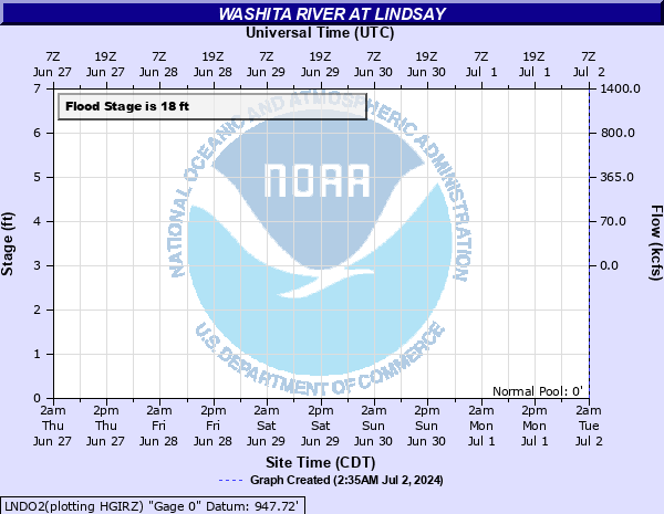
Washita River at Lindsay
Critical Stages
16' - Action
18' - Flood
20' - Moderate
24' - Major
Latest Observation
Updated: 6:09 PM LMT 12/31/00
Status: Obs Not Current
Stage: -999 ft
Flow: -999 kcfs
Forecast
Forecast not available for this location.
Observation history not available.
26' -
Agricultural lands... rural roads... and oilfields from near Lindsay to near Maysville are covered by overflow depths up to 8 feet... with devastating currents. The Washita River isolates Lindsay when the stage rises to 24 feet... blocking State Highway 19 east and west of town. Secions of Lindsay overflow when the stage rises above 20 feet. Near the time of crest... very serious inundation affects most homes and and businesses.
25' -
Agricultural lands... rural roads... and oilfields from near Lindsay to near Maysville are covered by overflow depths up to 7 feet... with devastating currents. The Washita River isolates Lindsay when the stage rises to 24 feet... blocking State Highway 19 east and west of town. Secions of Lindsay overflow when the stage rises above 20 feet... with widespread inundation of homes and businesses to be seen near the time of crest.
24' -
Agricultural lands... rural roads... and oilfields from near Lindsay to near Maysville are covered by overflow depths up to 6 feet... with very dangerous currents. The Washita River isolates Lindsay... blocking State Highway 19 east and west of town... with serious overflows to residential and business areas.
23' -
Agricultural lands... rural roads... and oilfields from near Lindsay to near Maysville are covered by overflow depths up to 5 feet... with dangerous currents. The Washita River floods low-lying business and residential areas in southwest Lindsay.
22' -
Agricultural lands... rural roads... and oilfields from near Lindsay to near Maysville are covered by overflow depths up to 4 feet... with dangerous currents. The Washita River inundates low-lying residential streets at the outskirts of Lindsay.
21' -
Agricultural lands... rural roads... and oilfields from near Lindsay to near Maysville will see overflow depths near 3 feet. The Washita River may inundate low-lying streets at the outskirts of Lindsay.
20' -
Agricultural lands... rural roads... and oilfields from near Lindsay to near Maysville will see overflow depths near 2 feet. The Washita River approaches the outskirts of Lindsay.
19' -
Agricultural lands... rural roads... and oilfields from near Lindsay to near Maysville are covered by shallow flooding.
18' -
Agricultural lands and oilfields from near Lindsay to near Maysville are covered by shallow flooding.
17' -
Near bankfull levels occur along the river from near Lindsay to near Maysville.
16' -
The river remains wihtin its banks from near Lindsay to near Maysville.
| Date | Stage (ft) |
|---|---|
| May 25, 2015 | 25.6 |
| Aug 23, 2007 | 23.5 |
| May 10, 1993 | 22.23 |
| Jun 29, 2007 | 21.6 |
| Apr 30, 2025 | 20.6 |
| Jun 27, 2007 | 20 |
| Aug 20, 2007 | 19.7 |
| May 29, 2015 | 18.51 |
| May 20, 2015 | 18.1 |
| Oct 24, 2000 | 18 |
Data provided by the National Weather Service.