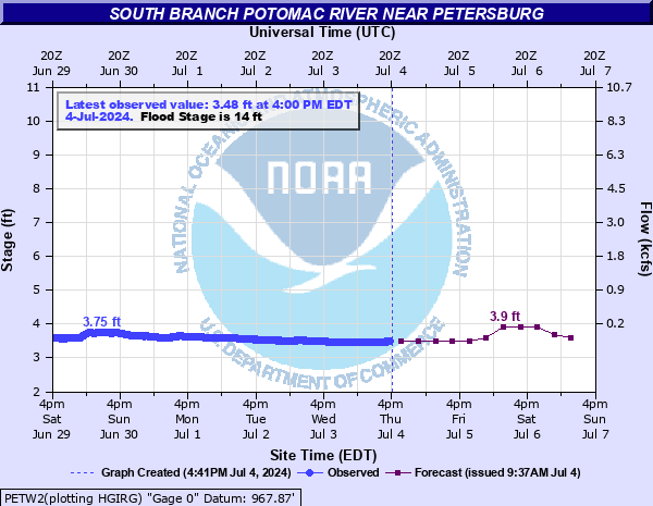
South Branch Potomac River near Petersburg
Critical Stages
12' - Action
14' - Flood
15' - Moderate
17' - Major
Latest Observation
Updated: 6:00 PM EST 12/15/25
Status: No Flooding
Stage: 4.02 ft
Flow: 0.136 kcfs
Forecast
| Time | Stage (ft) | Flow (kcfs) |
|---|---|---|
| 7 PM 12/15 | 4.1 | 0.158 |
| 1 AM 12/16 | 4.1 | 0.158 |
| 7 AM 12/16 | 4.1 | 0.158 |
| 1 PM 12/16 | 4.1 | 0.158 |
| 7 PM 12/16 | 4.1 | 0.158 |
| 1 AM 12/17 | 4.1 | 0.158 |
| 7 AM 12/17 | 4.1 | 0.158 |
| 1 PM 12/17 | 4.1 | 0.158 |
| 7 PM 12/17 | 4.2 | 0.188 |
| 1 AM 12/18 | 4.3 | 0.223 |
| 7 AM 12/18 | 4.3 | 0.223 |
| Time | Stage (ft) | Flow (kcfs) |
|---|---|---|
| 6:00 PM 12/15 | 4.02 | 0.136 |
| 5:45 PM 12/15 | 4.03 | 0.139 |
| 5:30 PM 12/15 | 4.03 | 0.139 |
| 5:15 PM 12/15 | 4.04 | 0.141 |
| 5:00 PM 12/15 | 4.04 | 0.141 |
| 4:45 PM 12/15 | 4.05 | 0.144 |
| 4:30 PM 12/15 | 4.06 | 0.147 |
| 4:15 PM 12/15 | 4.07 | 0.149 |
| 4:00 PM 12/15 | 4.09 | 0.155 |
| 3:45 PM 12/15 | 4.11 | 0.161 |
| 3:30 PM 12/15 | 4.12 | 0.164 |
| 3:15 PM 12/15 | 4.15 | 0.172 |
| 3:00 PM 12/15 | -9999 | -999 |
| 2:45 PM 12/15 | -9999 | -999 |
| 2:30 PM 12/15 | -9999 | -999 |
| 2:15 PM 12/15 | -9999 | -999 |
| 2:00 PM 12/15 | -9999 | -999 |
| 1:45 PM 12/15 | -9999 | -999 |
| 1:30 PM 12/15 | -9999 | -999 |
| 1:15 PM 12/15 | -9999 | -999 |
| 1:00 PM 12/15 | -9999 | -999 |
| 12:45 PM 12/15 | -9999 | -999 |
| 12:30 PM 12/15 | -9999 | -999 |
| 12:15 PM 12/15 | -9999 | -999 |
| 12:00 PM 12/15 | -9999 | -999 |
| 11:45 AM 12/15 | -9999 | -999 |
| 11:30 AM 12/15 | -9999 | -999 |
| 11:15 AM 12/15 | -9999 | -999 |
| 11:00 AM 12/15 | -9999 | -999 |
| 10:45 AM 12/15 | -9999 | -999 |
22.5' -
Significant flooding is occurring. More than a hundred buildings in Petersburg are flooded.
20' -
Several city blocks on the south side of Petersburg are flooded. Backwater may also flood portions of the eastern sections of the city.
18' -
Water covers the entire runway at Grant County Airport and is in nearby structures. Hundreds of acres of lowlands are flooded. Water approaches homes on the north side of the river in Petersburg.
17' -
Water reaches structures at the Grant County Airport. Flooding also begins south of the river on the south side of Petersburg.
15' -
Two structures are flooded upstream of Petersburg. Water also approaches the runway at the Petersburg Airport.
14' -
Water approaches structures upstream of Petersburg. Water also begins to cover Fish Hatchery Road near the river.
12' -
Water overflows the natural banks into nearby lowlands. River Road alongside the river begins to flood in its lowest spots.
| Date | Stage (ft) |
|---|---|
| Jun 17, 1949 | 22.83 |
| Sep 6, 1996 | 22.2 |
| Nov 5, 1985 | 21.8 |
| Nov 24, 1877 | 21.2 |
| Mar 17, 1936 | 20.3 |
| Jan 19, 1996 | 20 |
| Jan 1, 1924 | 19.2 |
| Apr 16, 2018 | 16.93 |
| Oct 6, 1972 | 16.16 |
| Feb 4, 1932 | 15.18 |
| Oct 9, 1976 | 15.14 |
| Nov 19, 2003 | 14.86 |
| Jan 25, 2010 | 14.86 |
| Mar 19, 1963 | 14.79 |
| Mar 7, 1967 | 14.74 |
| Feb 3, 1939 | 14.6 |
| May 31, 1940 | 14.5 |
| May 16, 2014 | 14.38 |
| May 17, 1996 | 14.29 |
| Mar 5, 2008 | 14.16 |
Data provided by the National Weather Service.