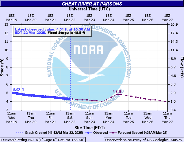
Cheat River at Parsons
Critical Stages
15.1' - Action
18.5' - Flood
21.5' - Moderate
23.5' - Major
Latest Observation
Updated: 6:00 PM EST 12/15/25
Status: No Flooding
Stage: 2.95 ft
Flow: 0.429 kcfs
Forecast
| Time | Stage (ft) | Flow (kcfs) |
|---|---|---|
| 7 PM 12/15 | 2.9 | 0.404 |
| 1 AM 12/16 | 2.9 | 0.404 |
| 7 AM 12/16 | 2.9 | 0.404 |
| 1 PM 12/16 | 2.9 | 0.404 |
| 7 PM 12/16 | 2.9 | 0.404 |
| 1 AM 12/17 | 2.9 | 0.404 |
| 7 AM 12/17 | 2.9 | 0.404 |
| 1 PM 12/17 | 2.9 | 0.404 |
| 7 PM 12/17 | 3 | 0.454 |
| 1 AM 12/18 | 3 | 0.454 |
| 7 AM 12/18 | 3 | 0.454 |
| 1 PM 12/18 | 3.1 | 0.507 |
| 7 PM 12/18 | 3.1 | 0.507 |
| 1 AM 12/19 | 3.3 | 0.623 |
| 7 AM 12/19 | 3.5 | 0.755 |
| 1 PM 12/19 | 3.6 | 0.825 |
| 7 PM 12/19 | 3.8 | 0.973 |
| 1 AM 12/20 | 3.9 | 1.05 |
| 7 AM 12/20 | 3.9 | 1.05 |
| Time | Stage (ft) | Flow (kcfs) |
|---|---|---|
| 6:30 PM 12/15 | 2.93 | 0.419 |
| 6:15 PM 12/15 | 2.94 | 0.424 |
| 6:00 PM 12/15 | 2.95 | 0.429 |
| 5:45 PM 12/15 | 2.94 | 0.424 |
| 5:30 PM 12/15 | 2.95 | 0.429 |
| 5:15 PM 12/15 | 2.96 | 0.434 |
| 5:00 PM 12/15 | 2.96 | 0.434 |
| 4:45 PM 12/15 | 2.96 | 0.434 |
| 4:30 PM 12/15 | 2.97 | 0.439 |
| 4:15 PM 12/15 | 2.96 | 0.434 |
| 4:00 PM 12/15 | 2.96 | 0.434 |
| 3:45 PM 12/15 | 2.99 | 0.449 |
| 3:30 PM 12/15 | 2.98 | 0.444 |
| 3:15 PM 12/15 | 2.99 | 0.449 |
| 3:00 PM 12/15 | 3 | 0.454 |
| 2:45 PM 12/15 | 3 | 0.454 |
| 2:30 PM 12/15 | 2.99 | 0.449 |
| 2:15 PM 12/15 | 2.98 | 0.444 |
| 2:00 PM 12/15 | 2.97 | 0.439 |
| 1:45 PM 12/15 | 2.96 | 0.434 |
| 1:30 PM 12/15 | 2.95 | 0.429 |
| 1:15 PM 12/15 | 2.93 | 0.419 |
| 1:00 PM 12/15 | 2.92 | 0.414 |
| 12:45 PM 12/15 | 2.91 | 0.409 |
| 12:30 PM 12/15 | 2.9 | 0.404 |
| 12:15 PM 12/15 | 2.89 | 0.399 |
| 12:00 PM 12/15 | 2.88 | 0.394 |
| 11:45 AM 12/15 | 2.88 | 0.394 |
| 11:30 AM 12/15 | 2.86 | 0.385 |
| 11:15 AM 12/15 | 2.86 | 0.385 |
21.5' -
Water begins to flood low lying sections of Parsons along Walnut, 2nd, 3rd and Water Streets and in the south end of Parsons, Poplar and Missouri Streets. Flooding also occurs along areas near River Avenue, Currance Street and around the Parsons Nursery.
20' -
Flooding affects portions of Water Street, Walnut Street, 4th Street, River Avenue and Buchanan Street.
19.5' -
Water levels reach the flood levels of the flood of February 19, 2000.
18.5' -
Water floods areas of 4th Street, Water Street and Central Avenue.
17.5' -
Water covers much of Parsons City Park closest to Shavers Fork and back yards of homes on lower end of 4th Street.
16.9' -
Water rises to the level reached on July 29, 2017.
15' -
Water affects the low end of Parsons City Park closest to the Shavers Fork.
| Date | Stage (ft) |
|---|---|
| Nov 5, 1985 | 24.3 |
| Jul 10, 1888 | 20.5 |
| Jan 19, 1996 | 19.8 |
| Oct 16, 1954 | 19.08 |
| Feb 9, 1994 | 18.97 |
| Mar 12, 1917 | 18.9 |
| Jun 30, 2019 | 17.58 |
| Mar 29, 1924 | 17.5 |
| Feb 4, 1932 | 17.2 |
| Mar 13, 1918 | 17 |
| Jul 29, 2017 | 16.9 |
| Feb 19, 2000 | 16.7 |
| Mar 1, 2021 | 16.25 |
| Mar 17, 1936 | 16.19 |
| May 8, 1994 | 16.18 |
| Mar 19, 1963 | 16.18 |
| Mar 7, 1967 | 15 |
| May 26, 1990 | 14.77 |
| Mar 20, 2002 | 14.7 |
| Oct 9, 1976 | 14.5 |
Data provided by the National Weather Service.