Ohio River at Wellsville
Critical Stages
9' - Action
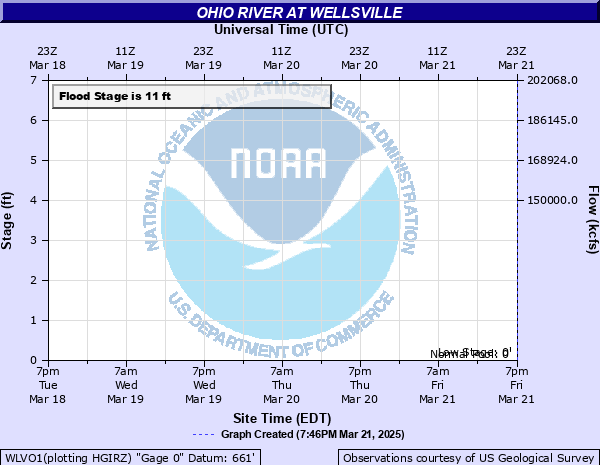
11' - Flood
14' - Moderate
16' - Major
Latest Observation
Updated: 7:03 PM LMT 12/31/00
Status: Obs Not Current
Stage: -999 ft
Flow: -999 kcfs
Forecast
Forecast not available for this location.
Observation history not available.
31' -
Water overtops the Corp of Engineers flood wall and water begins to flow into the town of Wellsville.
20.2' -
Flood waters reach the levels of flooding from Hurricane Ivan of September 19, 2004.
18' -
Water reaches the restaurant near the north end of the Lisbon Street Bridge.
16' -
Little Yellow Creek reaches bankful at the Lisbon Street Bridge. This area is not protected by the flood wall and the installation of flood gates at the Corps of Engineers local flood protection project.
14' -
Residential basements flood on Wells Avenue at the north end of town. This area is not protected by the flood wall and the installation of flood gates at the Corps of Engineers local flood protection project.
13' -
The picnic pavilion at the marina on Little Yellow Creek begins to flood. This area is not protected by the flood wall and the installation of flood gates at the Corps of Engineers flood protection project.
11' -
The parking lot of the marina outside the river wall begins to flood. This area is not protected by the flood wall and the installation of flood gates at the Corps of Engineers flood protection project.
9' -
Pumping operations begin at the corps of engineers local flood protection project
7' -
Preparations begin for activating pumps for local flood protection project
| Date | Stage (ft) |
|---|---|
| Jan 20, 1996 | 20.9 |
| Sep 18, 2004 | 20.2 |
| Jan 6, 2005 | 16.7 |
| Apr 4, 2024 | 14 |
| Apr 13, 2024 | 10.4 |
Data provided by the National Weather Service.