« Back to Delta Knolls Golf Center Rivers
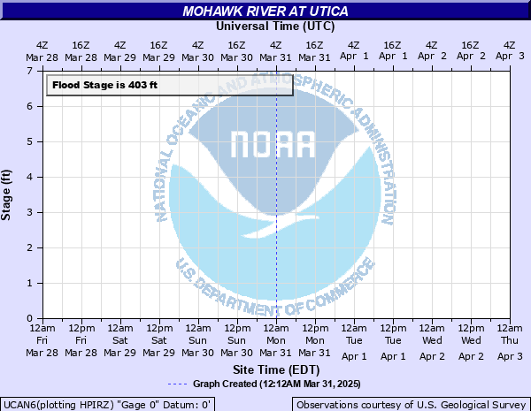
Mohawk River at Utica
Critical Stages
401' - Action
403' - Flood
405' - Moderate
407' - Major
Latest Observation
Updated: 7:03 PM LMT 12/31/00
Status: Obs Not Current
Stage: -999 ft
Flow: -999 kcfs
Forecast
Forecast not available for this location.
Observation history not available.
407' -
Major flood stage. Water gets onto North Gennesee Street between downtown Utica and the Thruway connector.
406' -
Water gets onto Leland and Wurtz Avenues and reaches Canal Corp building. Part of Canal Corp parking lot is flooded.
405' -
Moderate flood stage.
404' -
Water overflows onto the wharf at the Utica Canal terminal. River Street in Oriskany is also flooded.
403' -
Minor flood stage. Water reaches roads that cross the flats including River Street in Oriskany.
402' -
Water is two feet from the top of the wall at the Canal terminal.
401' -
Action stage.
| Date | Stage (ft) |
|---|---|
| Jan 4, 1907 | 411.11 |
| Mar 14, 1977 | 408.9 |
| Mar 5, 1979 | 408 |
| Sep 9, 2011 | 408 |
| Jan 9, 1998 | 407.85 |
| Jun 29, 2006 | 407.35 |
| Jun 29, 2013 | 407.2 |
| Apr 29, 2011 | 406.25 |
| Mar 16, 2007 | 405.6 |
| Apr 4, 2005 | 405.55 |
| Mar 31, 2014 | 405.35 |
| Apr 25, 1977 | 405.2 |
| May 25, 2004 | 405.1 |
| Mar 12, 2011 | 405 |
| Jan 26, 2010 | 404.7 |
| Jun 14, 2013 | 404.7 |
| May 17, 2014 | 404.3 |
| Mar 28, 2004 | 403.95 |
| Dec 12, 2004 | 403.75 |
| Jun 26, 2013 | 403.7 |
Data provided by the National Weather Service.