« Back to Dolton Public Library District Rivers
East Branch Du Page River at Bolingbrook
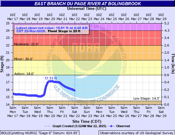
Critical Stages
18' - Action
20' - Flood
22' - Moderate
24' - Major
Latest Observation
Updated: 4:40 PM CST 12/15/25
Status: No Flooding
Stage: 14.73 ft
Flow: 0.0533 kcfs
Forecast
Forecast not available for this location.
| Time | Stage (ft) | Flow (kcfs) |
|---|---|---|
| 4:40 PM 12/15 | 14.73 | 0.0533 |
| 4:35 PM 12/15 | 14.73 | 0.0533 |
| 4:30 PM 12/15 | 14.73 | 0.0533 |
| 4:25 PM 12/15 | 14.73 | 0.0533 |
| 4:20 PM 12/15 | 14.73 | 0.0533 |
| 4:15 PM 12/15 | 14.73 | 0.0533 |
| 4:10 PM 12/15 | 14.73 | 0.0533 |
| 4:05 PM 12/15 | 14.73 | 0.0533 |
| 4:00 PM 12/15 | 14.73 | 0.0533 |
| 3:55 PM 12/15 | 14.72 | 0.0525 |
| 3:50 PM 12/15 | 14.73 | 0.0533 |
| 3:45 PM 12/15 | 14.73 | 0.0533 |
| 3:40 PM 12/15 | 14.72 | 0.0525 |
| 3:35 PM 12/15 | 14.72 | 0.0525 |
| 3:30 PM 12/15 | 14.72 | 0.0525 |
| 3:25 PM 12/15 | 14.72 | 0.0525 |
| 3:20 PM 12/15 | 14.72 | 0.0525 |
| 3:15 PM 12/15 | 14.72 | 0.0525 |
| 3:10 PM 12/15 | 14.71 | 0.0518 |
| 3:05 PM 12/15 | 14.71 | 0.0518 |
| 3:00 PM 12/15 | 14.7 | 0.051 |
| 2:55 PM 12/15 | 14.72 | 0.0525 |
| 2:50 PM 12/15 | 14.72 | 0.0525 |
| 2:45 PM 12/15 | 14.72 | 0.0525 |
| 2:40 PM 12/15 | 14.72 | 0.0525 |
| 2:35 PM 12/15 | 14.72 | 0.0525 |
| 2:30 PM 12/15 | 14.72 | 0.0525 |
| 2:25 PM 12/15 | 14.71 | 0.0518 |
| 2:20 PM 12/15 | 14.71 | 0.0518 |
| 2:15 PM 12/15 | 14.71 | 0.0518 |
29' -
Water treatment plant property is threatened at Indian Boundary Park in Bolingbrook.
27.5' -
IL-53 threatened north of Royce Road in Bolingbrook.
26' -
Residential structures threatened at Seven Bridges in Woodridge.
25.5' -
Roadways and parking lots threatened in Trout Farm Park in Bolingbrook.
25' -
Athletic fields are threatened at Indian Boundary Park in Bolingbrook.
24.5' -
Hobson Road threatened in Woodridge.
24' -
Structures threatened at the Royce Road Water Reclamation Facility and the Animal Control and Care Facility in Bolingbrook.
23' -
Royce Road is threatened east of the River near Bolingbrook. Weber Road/Washington Street is threatened between Bolingbrook and Naperville.
22' -
Low-lying trails of Trout Farm Park are inundated in Bolingbrook.
20' -
DuPage River Greenway Trail is threatened east of the river near Royce Road in Bolingbrook. Trails threatened at Green Valley Forest Preserve near Woodridge.
18' -
Low-lying areas of the DuPage River Greenway are inundated along the river near Royce Road in Bolingbrook. Low-lying property inundated at the Royce Road Water Reclamation Facility in Bolingbrook.
| Date | Stage (ft) |
|---|---|
| Apr 18, 2013 | 25.54 |
| Sep 14, 2008 | 24.04 |
| Jul 18, 1996 | 23.75 |
| Oct 15, 2017 | 22.92 |
| Feb 22, 1997 | 22.5 |
| May 18, 2020 | 22.32 |
| Oct 14, 2001 | 22.11 |
| Oct 11, 1954 | 21.9 |
| Jun 16, 2015 | 21.9 |
| May 1, 2017 | 21.89 |
| May 1, 2019 | 21.52 |
| Feb 21, 2018 | 21.5 |
| Jan 13, 2005 | 21.42 |
| Jan 24, 1999 | 20.94 |
| Mar 31, 2017 | 20.86 |
| May 8, 1998 | 20.61 |
| May 29, 2019 | 20.47 |
| Aug 28, 2004 | 20.32 |
| May 11, 2017 | 20.21 |
| Apr 21, 2000 | 20.16 |
Data provided by the National Weather Service.