« Back to Dolton Public Library District Rivers
Kankakee River at Shelby
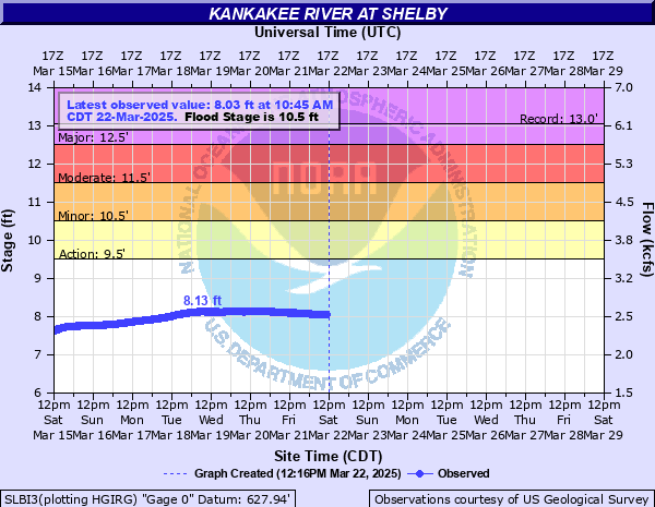
Critical Stages
9.5' - Action
10.5' - Flood
11.5' - Moderate
12.5' - Major
Latest Observation
Updated: 4:45 PM CST 12/15/25
Status: No Flooding
Stage: 5.56 ft
Flow: 1.4 kcfs
Forecast
Forecast not available for this location.
| Time | Stage (ft) | Flow (kcfs) |
|---|---|---|
| 4:45 PM 12/15 | 5.56 | 1.4 |
| 4:30 PM 12/15 | 5.56 | 1.4 |
| 4:15 PM 12/15 | 5.56 | 1.4 |
| 4:00 PM 12/15 | 5.56 | 1.4 |
| 3:45 PM 12/15 | 5.56 | 1.4 |
| 3:30 PM 12/15 | 5.56 | 1.4 |
| 3:15 PM 12/15 | 5.56 | 1.4 |
| 3:00 PM 12/15 | 5.55 | 1.39 |
| 2:45 PM 12/15 | 5.55 | 1.39 |
| 2:30 PM 12/15 | 5.54 | 1.39 |
| 2:15 PM 12/15 | 5.54 | 1.39 |
| 2:00 PM 12/15 | 5.53 | 1.39 |
| 1:45 PM 12/15 | 5.53 | 1.39 |
| 1:30 PM 12/15 | 5.53 | 1.39 |
| 1:15 PM 12/15 | 5.52 | 1.38 |
| 1:00 PM 12/15 | 5.52 | 1.38 |
| 12:45 PM 12/15 | 5.52 | 1.38 |
| 12:30 PM 12/15 | 5.51 | 1.38 |
| 12:15 PM 12/15 | 5.5 | 1.37 |
| 12:00 PM 12/15 | 5.51 | 1.38 |
| 11:45 AM 12/15 | 5.5 | 1.37 |
| 11:30 AM 12/15 | 5.5 | 1.37 |
| 11:15 AM 12/15 | 5.5 | 1.37 |
| 11:00 AM 12/15 | 5.5 | 1.37 |
| 10:45 AM 12/15 | 5.5 | 1.37 |
| 10:30 AM 12/15 | 5.49 | 1.37 |
| 10:15 AM 12/15 | 5.5 | 1.37 |
| 10:00 AM 12/15 | 5.49 | 1.37 |
| 9:45 AM 12/15 | 5.5 | 1.37 |
| 9:30 AM 12/15 | 5.5 | 1.37 |
14' -
US-41 southbound is threatened south of the river.
13.5' -
Shelby levee overtops leading to potential inundation of numerous structures and roads. Widespread inundation of the floodplain may reach up to 4 miles from the river.
13' -
Water reaches the top of the levees in Sumava Resorts. Water reaches the top of levees near Shelby.
12.5' -
US-41 northbound is inundated south of the river.
12' -
IN-55 is threatened south of the river. County Road 1200W/Range Line Road is threatened north of the river. County Road 1150N is threatened at Sumava Resorts.
11.5' -
Low-lying residences are threatened along Bluegrass Road and in Wildwood Estates east of Sumava Resorts.
10.5' -
Water overflows low-lying river banks along Bluegrass Road and in Wildwood Estates east of Sumava Resorts. Water begins to be diverted through the Blackberry Marsh Spillway to reduce flood impacts.
10' -
Stateline Road is threatened near the river west of Schneider.
9' -
Low-lying agricultural land is inundated.
7.5' -
Water overtops low-lying banks in forest land near the Illinois/Indiana state line.
| Date | Stage (ft) |
|---|---|
| Sep 18, 2008 | 13.04 |
| Mar 24, 1982 | 12.98 |
| Jun 16, 2015 | 12.9 |
| Mar 11, 2009 | 12.63 |
| Jan 14, 2005 | 12.32 |
| Mar 9, 1985 | 12.25 |
| Apr 29, 2011 | 12.24 |
| Jul 25, 1996 | 12.23 |
| Aug 25, 2007 | 12.23 |
| Mar 2, 1997 | 12.11 |
| Apr 25, 2013 | 12.05 |
| Feb 6, 2019 | 12.04 |
| May 3, 2019 | 11.93 |
| Aug 23, 1990 | 11.92 |
| Jun 25, 2014 | 11.91 |
| Jan 2, 1991 | 11.91 |
| Jan 8, 1993 | 11.8 |
| Apr 29, 1999 | 11.78 |
| May 19, 2002 | 11.72 |
| Oct 22, 1993 | 11.71 |
Data provided by the National Weather Service.