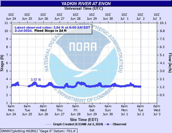
Yadkin River at Enon
Critical Stages
22' - Action
24' - Flood
32' - Moderate
36' - Major
Latest Observation
Updated: 2:00 AM EST 12/11/25
Status: No Flooding
Stage: 3.09 ft
Flow: 1.18 kcfs
Forecast
Forecast not available for this location.
| Time | Stage (ft) | Flow (kcfs) |
|---|---|---|
| 2:00 AM 12/11 | 3.09 | 1.18 |
| 1:45 AM 12/11 | 3.09 | 1.18 |
| 1:30 AM 12/11 | 3.09 | 1.18 |
| 1:15 AM 12/11 | 3.08 | 1.17 |
| 1:00 AM 12/11 | 3.1 | 1.19 |
| 12:45 AM 12/11 | 3.09 | 1.18 |
| 12:30 AM 12/11 | 3.09 | 1.18 |
| 12:15 AM 12/11 | 3.11 | 1.2 |
| 12:00 AM 12/11 | 3.12 | 1.21 |
| 11:45 PM 12/10 | 3.1 | 1.19 |
| 11:30 PM 12/10 | 3.11 | 1.2 |
| 11:15 PM 12/10 | 3.1 | 1.19 |
| 11:00 PM 12/10 | 3.11 | 1.2 |
| 10:45 PM 12/10 | 3.12 | 1.21 |
| 10:30 PM 12/10 | 3.11 | 1.2 |
| 10:15 PM 12/10 | 3.12 | 1.21 |
| 10:00 PM 12/10 | 3.13 | 1.21 |
| 9:45 PM 12/10 | 3.13 | 1.21 |
| 9:30 PM 12/10 | 3.13 | 1.21 |
| 9:15 PM 12/10 | 3.12 | 1.21 |
| 9:00 PM 12/10 | 3.13 | 1.21 |
| 8:45 PM 12/10 | 3.16 | 1.24 |
| 8:30 PM 12/10 | 3.16 | 1.24 |
| 8:15 PM 12/10 | 3.18 | 1.26 |
| 8:00 PM 12/10 | 3.2 | 1.27 |
| 7:45 PM 12/10 | 3.22 | 1.29 |
| 7:30 PM 12/10 | 3.23 | 1.3 |
| 7:15 PM 12/10 | 3.24 | 1.31 |
| 7:00 PM 12/10 | 3.25 | 1.31 |
| 6:45 PM 12/10 | 3.23 | 1.3 |
42' -
Water reaches the road surface of the Old U.S. 421 Bridge. There will be significant flooding of farmland adjacent to the river.
36' -
Major flooding begins. Water reaches the steel trusses supporting the Old U.S. 421 River Park.
32' -
Moderate flooding begins. Water reaches the parking lot of the Old U.S. 421 River Park.
28' -
Flooding reaches the base of the concrete stairway to the lower level of the Old U.S. 421 River Park.
24' -
Minor flooding begins. Flood waters will begin to impact the Old U.S. 421 River Park. The Donnaha Park River Access will be inundated.
22' -
Action Stage. The Yadkin River is at bankfull.
| Date | Stage (ft) |
|---|---|
| Aug 15, 1940 | 35.8 |
| Sep 22, 1979 | 29.52 |
| Apr 10, 1983 | 27.7 |
| Oct 12, 2018 | 27.06 |
| Aug 10, 1970 | 26.78 |
| Sep 28, 2024 | 25.77 |
| Sep 28, 2024 | 25.7 |
| Aug 31, 1964 | 25.17 |
| Dec 2, 1996 | 21.98 |
| Sep 17, 2018 | 21.65 |
Data provided by the National Weather Service.