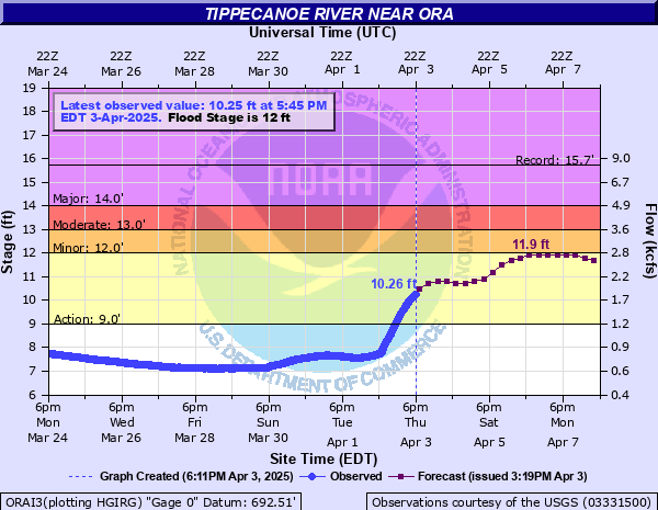
Tippecanoe River near Ora
Critical Stages
9' - Action
12' - Flood
13' - Moderate
14' - Major
Latest Observation
Updated: 1:45 PM EST 12/15/25
Status: No Flooding
Stage: 5.98 ft
Flow: 0.3 kcfs
Forecast
Forecast not available for this location.
| Time | Stage (ft) | Flow (kcfs) |
|---|---|---|
| 1:45 PM 12/15 | 5.98 | 0.3 |
| 1:30 PM 12/15 | 5.98 | 0.3 |
| 1:15 PM 12/15 | 5.98 | 0.3 |
| 1:00 PM 12/15 | 5.98 | 0.3 |
| 12:45 PM 12/15 | 5.98 | 0.3 |
| 12:30 PM 12/15 | 5.99 | 0.302 |
| 12:15 PM 12/15 | 5.99 | 0.302 |
| 12:00 PM 12/15 | 5.99 | 0.302 |
| 11:45 AM 12/15 | 5.99 | 0.302 |
| 11:30 AM 12/15 | 5.99 | 0.302 |
| 11:15 AM 12/15 | 6 | 0.304 |
| 11:00 AM 12/15 | 5.99 | 0.302 |
| 10:45 AM 12/15 | 6 | 0.304 |
| 10:30 AM 12/15 | 6 | 0.304 |
| 10:15 AM 12/15 | 6 | 0.304 |
| 10:00 AM 12/15 | 6 | 0.304 |
| 9:45 AM 12/15 | 6 | 0.304 |
| 9:30 AM 12/15 | 6.01 | 0.306 |
| 9:15 AM 12/15 | 6 | 0.304 |
| 9:00 AM 12/15 | 6.01 | 0.306 |
| 8:45 AM 12/15 | 6.01 | 0.306 |
| 8:30 AM 12/15 | 6 | 0.304 |
| 8:15 AM 12/15 | 6.01 | 0.306 |
| 8:00 AM 12/15 | 6.02 | 0.308 |
| 7:45 AM 12/15 | 6.02 | 0.308 |
| 7:30 AM 12/15 | 6.02 | 0.308 |
| 7:15 AM 12/15 | 6.01 | 0.306 |
| 7:00 AM 12/15 | 6.01 | 0.306 |
| 6:45 AM 12/15 | 6.02 | 0.308 |
| 6:30 AM 12/15 | 6.02 | 0.308 |
19.2' -
Estimated height of bridge steel near the river gage. At this height, the bridge acts as a dam which will back water upstream increasing the flooding behind the bridge.
16' -
Record flooding is in progress.
15' -
Near record flooding is in progress.
14' -
Extensive flooding of residences and low lying areas begins.
13' -
Flooding begins to affect streets and homes in Monterey.
12.5' -
Flooding begins to affect residences near the river.
12' -
The river is at flood stage...significant lowland and rural flooding begins.
| Date | Stage (ft) |
|---|---|
| Mar 13, 2009 | 15.72 |
| Jan 10, 2008 | 15.63 |
| Feb 23, 2018 | 15.6 |
| Feb 8, 2008 | 15.6 |
| Aug 20, 1990 | 15.22 |
| Jun 15, 1981 | 15.08 |
| Feb 25, 1985 | 15.05 |
| Dec 31, 1990 | 15 |
| Mar 15, 1982 | 14.98 |
| Jan 15, 2005 | 14.96 |
| Jan 6, 1993 | 14.91 |
| Jan 1, 1991 | 14.75 |
| Jun 3, 2013 | 14.65 |
| Jan 10, 1998 | 14.61 |
| Jun 18, 2015 | 14.56 |
| Jul 20, 1996 | 14.42 |
| Apr 5, 1950 | 14.4 |
| Apr 21, 2013 | 14.37 |
| Feb 24, 2014 | 14.31 |
| Mar 4, 1979 | 14.27 |
Data provided by the National Weather Service.