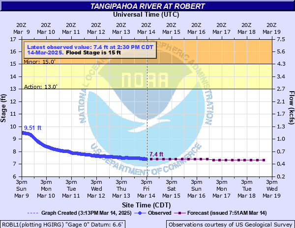
Tangipahoa River at Robert
Critical Stages
13' - Action
15' - Flood
18' - Moderate
21' - Major
Latest Observation
Updated: 12:30 PM CST 12/5/25
Status: No Flooding
Stage: 12.81 ft
Flow: 2.57 kcfs
Forecast
| Time | Stage (ft) | Flow (kcfs) |
|---|---|---|
| 6 PM 12/5 | 13.2 | 2.8 |
| 12 AM 12/6 | 13.4 | 2.94 |
| 6 AM 12/6 | 13.5 | 3.01 |
| 12 PM 12/6 | 13.4 | 2.94 |
| 6 PM 12/6 | 13.3 | 2.87 |
| 12 AM 12/7 | 13.2 | 2.8 |
| 6 AM 12/7 | 13.1 | 2.74 |
| 12 PM 12/7 | 12.8 | 2.57 |
| 6 PM 12/7 | 12.5 | 2.4 |
| 12 AM 12/8 | 12.1 | 2.19 |
| 6 AM 12/8 | 11.7 | 1.99 |
| 12 PM 12/8 | 11.3 | 1.81 |
| 6 PM 12/8 | 11 | 1.68 |
| 12 AM 12/9 | 10.6 | 1.51 |
| 6 AM 12/9 | 10.2 | 1.36 |
| 12 PM 12/9 | 10 | 1.29 |
| 6 PM 12/9 | 9.7 | 1.19 |
| 12 AM 12/10 | 9.5 | 1.12 |
| 6 AM 12/10 | 9.3 | 1.06 |
| Time | Stage (ft) | Flow (kcfs) |
|---|---|---|
| 12:30 PM 12/5 | 12.81 | 2.57 |
| 12:00 PM 12/5 | 12.81 | 2.57 |
| 11:30 AM 12/5 | 12.78 | 2.55 |
| 11:00 AM 12/5 | 12.76 | 2.54 |
| 10:30 AM 12/5 | 12.74 | 2.53 |
| 10:00 AM 12/5 | 12.73 | 2.53 |
| 9:30 AM 12/5 | 12.7 | 2.51 |
| 9:00 AM 12/5 | 12.69 | 2.5 |
| 8:30 AM 12/5 | 12.65 | 2.48 |
| 8:00 AM 12/5 | 12.65 | 2.48 |
| 7:30 AM 12/5 | 12.62 | 2.46 |
| 7:00 AM 12/5 | 12.6 | 2.45 |
| 6:30 AM 12/5 | 12.56 | 2.43 |
| 6:00 AM 12/5 | 12.54 | 2.42 |
| 5:30 AM 12/5 | 12.5 | 2.4 |
| 5:00 AM 12/5 | 12.48 | 2.39 |
| 4:30 AM 12/5 | 12.42 | 2.36 |
| 4:00 AM 12/5 | 12.39 | 2.34 |
| 3:30 AM 12/5 | 12.31 | 2.3 |
| 3:00 AM 12/5 | 12.28 | 2.28 |
| 2:30 AM 12/5 | 12.18 | 2.23 |
| 2:00 AM 12/5 | 12.14 | 2.21 |
| 1:30 AM 12/5 | 12.02 | 2.15 |
| 1:00 AM 12/5 | 11.97 | 2.12 |
| 12:30 AM 12/5 | 11.83 | 2.05 |
| 12:00 AM 12/5 | 11.77 | 2.03 |
| 11:30 PM 12/4 | 11.61 | 1.95 |
| 11:00 PM 12/4 | 11.55 | 1.92 |
| 10:30 PM 12/4 | 11.38 | 1.84 |
| 10:00 PM 12/4 | 11.33 | 1.82 |
27.33' -
Flood of Record occurred on August 13, 2016. Widespread flooding will occur and evacuations will be necessary. Roads will be impassable, including LA Highways 190 and 1067. Interstate 12 will be flooded on both sides.
27' -
Widespread flooding of Tangipahoa Parish will continue south of Highway 190 from the Natalbany River to east of Bedicoe Creek. Water will be at the top of the abandoned railroad trestle 100 feet downstream from the Highway 190 bridge.
24' -
Highway 190 will be inundated from just east of Hammond through Robert to Bedico Creek. Highway 22 will be under water in many places. Some homes in Magnolia Island will flood. Access to Lee's Landing will be cut off. Homes and commercial sites near Robert will be moderately flooded. Water will be in homes along Highways 445 and 443. Highway 445 will be under water and closed from Highway 190 to Interstate 12.
21' -
Water will be in homes along Highway 445 and Highway 443. Highway 445 will be under water and closed from Highway 190 to Interstate 12. Louisiana Highway 22 will be under water in many places. Access to Magnolia Island and Lee's Landing will be cut off.
18' -
Evacuation of trailers at Hidden Oaks must be completed. Water covers the entrance to camp grounds. Secondary roads and unimproved roads north of Robert will flood as Chappepeela Creek backs up. Low places on Highway 22 south of Robert will be under water.
17' -
Low places along Highway 22 south of Robert will be under water. Water will approach the entrance of Hidden Oaks Campground. Trailers at the camp ground will be unable to be moved out when the river reaches 18 feet.
16' -
Minor flooding near the river with beach areas under water.
15' -
Minor flooding near the river.
| Date | Stage (ft) |
|---|---|
| Aug 13, 2016 | 27.33 |
| Mar 14, 1921 | 27.1 |
| Apr 7, 1983 | 25.87 |
| Mar 12, 2016 | 25.52 |
| Sep 1, 2012 | 23.95 |
| May 3, 1953 | 23.13 |
| Aug 31, 2021 | 23.12 |
| Jan 22, 1993 | 22.43 |
| May 23, 1974 | 21.76 |
| Apr 19, 1973 | 21.55 |
| Jan 27, 1990 | 21.46 |
| Feb 22, 1961 | 21.28 |
| Mar 31, 1980 | 21.19 |
| Apr 22, 1977 | 20.95 |
| Mar 22, 1943 | 20.87 |
| Jul 1, 2003 | 20.42 |
| Jan 30, 1994 | 20.32 |
| Jan 11, 2013 | 20.31 |
| Mar 30, 2009 | 20.23 |
| Dec 29, 2018 | 20.19 |
Data provided by the National Weather Service.