« Back to Dyersburg Automatic Weather Observing Rivers
South Fork Forked Deer River near Halls
Critical Stages
8.5' - Action
9' - Flood
13.5' - Moderate
16' - Major
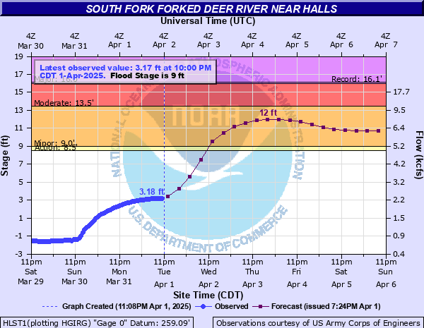
Latest Observation
Updated: 2:00 AM CST 12/5/25
Status: No Flooding
Stage: -2.32 ft
Flow: -999 kcfs
Forecast
| Time | Stage (ft) | Flow (kcfs) |
|---|---|---|
| 6 AM 12/5 | -2.4 | -999 |
| 12 PM 12/5 | -2.5 | -999 |
| 6 PM 12/5 | -2.6 | -999 |
| 12 AM 12/6 | -2.6 | -999 |
| 6 AM 12/6 | -2.7 | -999 |
| 12 PM 12/6 | -2.7 | -999 |
| 6 PM 12/6 | -2.7 | -999 |
| 12 AM 12/7 | -2.7 | -999 |
| 6 AM 12/7 | -2.8 | -999 |
| 12 PM 12/7 | -2.8 | -999 |
| 6 PM 12/7 | -2.8 | -999 |
| 12 AM 12/8 | -2.9 | -999 |
| 6 AM 12/8 | -2.9 | -999 |
| 12 PM 12/8 | -2.9 | -999 |
| 6 PM 12/8 | -2.9 | -999 |
| 12 AM 12/9 | -2.9 | -999 |
| 6 AM 12/9 | -2.9 | -999 |
| Time | Stage (ft) | Flow (kcfs) |
|---|---|---|
| 2:00 AM 12/5 | -2.32 | -999 |
| 1:00 AM 12/5 | -2.3 | -999 |
| 12:00 AM 12/5 | -2.29 | -999 |
| 11:00 PM 12/4 | -2.27 | -999 |
| 10:00 PM 12/4 | -2.25 | -999 |
| 9:00 PM 12/4 | -2.23 | -999 |
| 8:00 PM 12/4 | -2.2 | -999 |
| 7:00 PM 12/4 | -2.17 | -999 |
| 6:00 PM 12/4 | -2.14 | -999 |
| 5:00 PM 12/4 | -2.11 | -999 |
| 4:00 PM 12/4 | -2.07 | -999 |
| 3:00 PM 12/4 | -2.05 | -999 |
| 2:00 PM 12/4 | -2.01 | -999 |
| 1:00 PM 12/4 | -1.98 | -999 |
| 12:00 PM 12/4 | -1.94 | -999 |
| 11:00 AM 12/4 | -1.89 | -999 |
| 10:00 AM 12/4 | -1.85 | -999 |
| 9:00 AM 12/4 | -1.81 | -999 |
| 8:00 AM 12/4 | -1.76 | -999 |
| 7:00 AM 12/4 | -1.72 | -999 |
| 6:00 AM 12/4 | -1.67 | -999 |
| 5:00 AM 12/4 | -1.63 | -999 |
| 4:00 AM 12/4 | -1.59 | -999 |
| 3:00 AM 12/4 | -1.55 | -999 |
| 2:00 AM 12/4 | -1.51 | -999 |
| 1:00 AM 12/4 | -1.48 | -999 |
| 12:00 AM 12/4 | -1.45 | -999 |
| 11:00 PM 12/3 | -1.43 | -999 |
| 10:00 PM 12/3 | -1.42 | -999 |
| 9:00 PM 12/3 | -1.42 | -999 |
19' -
Flood water reaches the bottom of the Highway 210 bridge and the railroad trestle bridge over the river.
18.5' -
Highway 210 north of the river is impassable. Evacuations will be necessary due to access problems.
14' -
Flood water is flowing over several low-lying roads near the river and access to low-lying areas will be limited due to high water.
12.5' -
Water is flowing over Highway 210 north of Halls. Several low-lying roads near the South Fork of the Forked Deer River are flooded.
11.5' -
Farmland near the river is flooded.
10.5' -
Flooding on agricultural land near the river.
9' -
Farmland near the river is flooded.
8.5' -
Water is ponding on low-lying farmland.
| Date | Stage (ft) |
|---|---|
| May 4, 2010 | 16.14 |
| Apr 8, 2025 | 15.24 |
| Mar 16, 1975 | 15.21 |
| May 4, 2011 | 13.83 |
| Dec 5, 2001 | 13.49 |
| Feb 26, 2019 | 12.62 |
| Feb 16, 2025 | 12.6 |
| Dec 23, 2017 | 12.36 |
| Apr 3, 2021 | 12.25 |
| Feb 23, 2003 | 12.09 |
| Feb 23, 2003 | 12.09 |
| Dec 29, 2024 | 12.09 |
| Apr 4, 2008 | 12.09 |
| May 17, 2003 | 11.93 |
| May 17, 2003 | 11.93 |
| May 27, 2006 | 11.91 |
| Mar 6, 2021 | 11.87 |
| May 24, 2009 | 11.69 |
| Oct 10, 2002 | 11.68 |
| Dec 19, 2002 | 11.38 |
Data provided by the National Weather Service.