« Back to Eagle Hills Golf Course Rivers
Platte River at North Bend
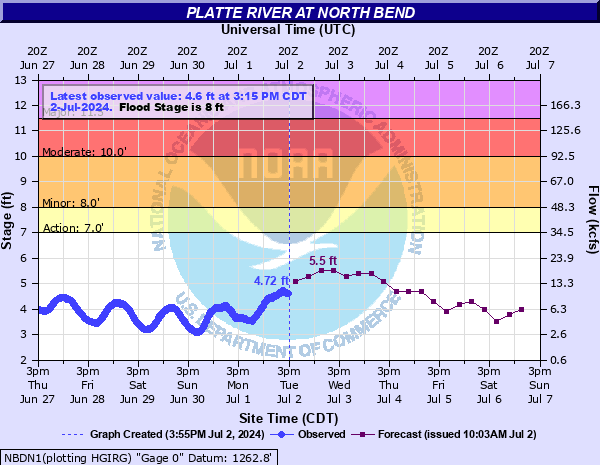
Critical Stages
7' - Action
8' - Flood
10' - Moderate
11.5' - Major
Latest Observation
Updated: 11:15 PM CST 12/14/25
Status: No Flooding
Stage: 3.62 ft
Flow: 4.89 kcfs
Forecast
Forecast not available for this location.
| Time | Stage (ft) | Flow (kcfs) |
|---|---|---|
| 11:15 PM 12/14 | 3.62 | 4.89 |
| 11:00 PM 12/14 | 3.63 | 4.93 |
| 10:45 PM 12/14 | 3.62 | 4.89 |
| 10:30 PM 12/14 | 3.62 | 4.89 |
| 10:15 PM 12/14 | 3.64 | 4.96 |
| 10:00 PM 12/14 | 3.67 | 5.07 |
| 9:45 PM 12/14 | 3.69 | 5.15 |
| 9:30 PM 12/14 | 3.68 | 5.11 |
| 9:15 PM 12/14 | 3.69 | 5.15 |
| 9:00 PM 12/14 | 3.67 | 5.07 |
| 8:45 PM 12/14 | 3.69 | 5.15 |
| 8:30 PM 12/14 | 3.71 | 5.22 |
| 8:15 PM 12/14 | 3.7 | 5.19 |
| 8:00 PM 12/14 | 3.71 | 5.22 |
| 7:45 PM 12/14 | 3.72 | 5.26 |
| 7:30 PM 12/14 | 3.72 | 5.26 |
| 7:15 PM 12/14 | 3.72 | 5.26 |
| 7:00 PM 12/14 | 3.71 | 5.22 |
| 6:45 PM 12/14 | 3.71 | 5.22 |
| 6:30 PM 12/14 | 3.72 | 5.26 |
| 6:15 PM 12/14 | 3.71 | 5.22 |
| 6:00 PM 12/14 | 3.75 | 5.37 |
| 5:45 PM 12/14 | 3.75 | 5.37 |
| 5:30 PM 12/14 | 3.71 | 5.22 |
| 5:15 PM 12/14 | 3.69 | 5.15 |
| 5:00 PM 12/14 | 3.7 | 5.19 |
| 4:45 PM 12/14 | 3.7 | 5.19 |
| 4:30 PM 12/14 | 3.71 | 5.22 |
| 4:15 PM 12/14 | 3.76 | 5.41 |
| 4:00 PM 12/14 | 3.82 | 5.63 |
14' -
All levees along the river are in danger of overtopping.
12' -
The Union Pacific tracks/levee are threatened with overtopping.
10' -
Homes and cabins along the sandpit lakes between the gage and town become threatened. The overflow channel may encroach upon the Union Pacific railroad tracks.
8' -
Flooding is impacting structures along the river.
7' -
Rural overflows begin within reach of the gage, mainly pasture lands.
| Date | Stage (ft) |
|---|---|
| Mar 19, 1978 | 15.55 |
| Feb 20, 1971 | 12.24 |
| Mar 15, 2019 | 11.96 |
| Mar 8, 1993 | 10.97 |
| Mar 10, 2010 | 10.89 |
| Feb 28, 1985 | 10.59 |
| Jan 18, 1980 | 10.44 |
| Mar 5, 1994 | 10.32 |
| Feb 29, 1972 | 10.19 |
| Feb 13, 1952 | 10.17 |
| Mar 29, 1960 | 10.04 |
| Mar 14, 1979 | 10 |
| Feb 22, 2007 | 9.97 |
| Feb 21, 1997 | 9.78 |
| Mar 10, 1993 | 9.71 |
| Jun 16, 1967 | 9.56 |
| Feb 18, 1983 | 9.49 |
| Mar 10, 2014 | 9.26 |
| Feb 22, 1982 | 9.25 |
| Jun 13, 1984 | 9.13 |
Data provided by the National Weather Service.