« Back to East Brunswick Vocational School Rivers
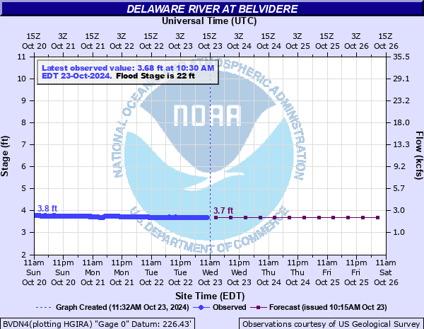
Delaware River at Belvidere
Critical Stages
18.5' - Action
22' - Flood
24' - Moderate
25' - Major
Latest Observation
Updated: 8:00 AM EST 12/6/25
Status: No Flooding
Stage: 3.49 ft
Flow: 1.87 kcfs
Forecast
| Time | Stage (ft) | Flow (kcfs) |
|---|---|---|
| 1 PM 12/6 | 3.5 | 1.89 |
| 7 PM 12/6 | 3.5 | 1.89 |
| 1 AM 12/7 | 3.5 | 1.89 |
| 7 AM 12/7 | 3.5 | 1.89 |
| 1 PM 12/7 | 3.5 | 1.89 |
| 7 PM 12/7 | 3.5 | 1.89 |
| 1 AM 12/8 | 3.4 | 1.7 |
| 7 AM 12/8 | 3.4 | 1.7 |
| Time | Stage (ft) | Flow (kcfs) |
|---|---|---|
| 8:30 AM 12/6 | 3.49 | 1.87 |
| 8:15 AM 12/6 | 3.48 | 1.85 |
| 8:00 AM 12/6 | 3.49 | 1.87 |
| 7:45 AM 12/6 | 3.49 | 1.87 |
| 7:30 AM 12/6 | 3.49 | 1.87 |
| 7:15 AM 12/6 | 3.49 | 1.87 |
| 7:00 AM 12/6 | 3.49 | 1.87 |
| 6:45 AM 12/6 | 3.5 | 1.89 |
| 6:30 AM 12/6 | 3.5 | 1.89 |
| 6:15 AM 12/6 | 3.5 | 1.89 |
| 6:00 AM 12/6 | 3.5 | 1.89 |
| 5:45 AM 12/6 | 3.5 | 1.89 |
| 5:30 AM 12/6 | 3.51 | 1.91 |
| 5:15 AM 12/6 | 3.51 | 1.91 |
| 5:00 AM 12/6 | 3.52 | 1.92 |
| 4:45 AM 12/6 | 3.51 | 1.91 |
| 4:30 AM 12/6 | 3.51 | 1.91 |
| 4:15 AM 12/6 | 3.52 | 1.92 |
| 4:00 AM 12/6 | 3.52 | 1.92 |
| 3:45 AM 12/6 | 3.52 | 1.92 |
| 3:30 AM 12/6 | 3.52 | 1.92 |
| 3:15 AM 12/6 | 3.52 | 1.92 |
| 3:00 AM 12/6 | 3.53 | 1.94 |
| 2:45 AM 12/6 | 3.53 | 1.94 |
| 2:30 AM 12/6 | 3.53 | 1.94 |
| 2:15 AM 12/6 | 3.53 | 1.94 |
| 2:00 AM 12/6 | 3.53 | 1.94 |
| 1:45 AM 12/6 | 3.53 | 1.94 |
| 1:30 AM 12/6 | 3.54 | 1.96 |
| 1:15 AM 12/6 | 3.54 | 1.96 |
30.6' -
The Belvidere-Riverton Bridge surface floods.
23' -
Approach roads to the Belvidere-Riverton Bridge in both New Jersey and Pennsylvania begin to flood. On the New Jersey side, Water Street begins to flood and in Pennsylvania, Martins Creek Belvidere Highway takes on water.
20' -
Backwater from the Delaware River cause problems in the town of Belvidere along the Pequest River.
19' -
River Road is flooded in Lopatcong Township.
18.5' -
Hutchinson River Road in Harmony Township takes on water.
14' -
Low lying areas downstream in Hutchinson and Brainards begin to flood.
| Date | Stage (ft) |
|---|---|
| Aug 19, 1955 | 30.21 |
| Oct 10, 1903 | 28.6 |
| Apr 4, 2005 | 27.24 |
| Jun 29, 2006 | 27.16 |
| Mar 19, 1936 | 25 |
| Sep 19, 2004 | 24.8 |
| Jan 20, 1996 | 22.96 |
| Feb 12, 1936 | 22.22 |
| Sep 9, 2011 | 21.55 |
| Mar 16, 1986 | 20.34 |
| Mar 12, 2011 | 19.65 |
| Aug 20, 2011 | 19.55 |
| Apr 9, 2022 | 18.55 |
| Mar 11, 2011 | 18.15 |
| Dec 26, 2020 | 17.88 |
| Sep 2, 2021 | 17.7 |
| Dec 3, 1996 | 16.49 |
| Jun 24, 1972 | 15.34 |
| Nov 10, 1996 | 15.050000190735 |
| Oct 30, 2003 | 14.97 |
Data provided by the National Weather Service.