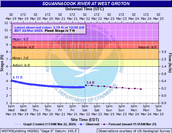
Squannacook River at West Groton
Critical Stages
6' - Action
7' - Flood
8.5' - Moderate
9.5' - Major
Latest Observation
Updated: 10:00 PM EST 12/5/25
Status: No Flooding
Stage: 1.76 ft
Flow: 0.0295 kcfs
Forecast
| Time | Stage (ft) | Flow (kcfs) |
|---|---|---|
| 1 AM 12/6 | 1.8 | 0.032 |
| 7 AM 12/6 | 1.8 | 0.032 |
| 1 PM 12/6 | 1.8 | 0.032 |
| 7 PM 12/6 | 1.8 | 0.032 |
| 1 AM 12/7 | 1.8 | 0.032 |
| 7 AM 12/7 | 1.8 | 0.032 |
| 1 PM 12/7 | 1.8 | 0.032 |
| 7 PM 12/7 | 1.8 | 0.032 |
| 1 AM 12/8 | 1.7 | 0.026 |
| 7 AM 12/8 | 1.7 | 0.026 |
| Time | Stage (ft) | Flow (kcfs) |
|---|---|---|
| 10:00 PM 12/5 | 1.76 | 0.0295 |
| 9:45 PM 12/5 | 1.76 | 0.0295 |
| 9:30 PM 12/5 | 1.76 | 0.0295 |
| 9:15 PM 12/5 | 1.76 | 0.0295 |
| 9:00 PM 12/5 | 1.76 | 0.0295 |
| 8:45 PM 12/5 | 1.76 | 0.0295 |
| 8:30 PM 12/5 | 1.76 | 0.0295 |
| 8:15 PM 12/5 | 1.77 | 0.0301 |
| 8:00 PM 12/5 | 1.77 | 0.0301 |
| 7:45 PM 12/5 | 1.76 | 0.0295 |
| 7:30 PM 12/5 | 1.76 | 0.0295 |
| 7:15 PM 12/5 | 1.77 | 0.0301 |
| 7:00 PM 12/5 | 1.77 | 0.0301 |
| 6:45 PM 12/5 | 1.77 | 0.0301 |
| 6:30 PM 12/5 | 1.76 | 0.0295 |
| 6:15 PM 12/5 | 1.77 | 0.0301 |
| 6:00 PM 12/5 | 1.76 | 0.0295 |
| 5:45 PM 12/5 | 1.77 | 0.0301 |
| 5:30 PM 12/5 | 1.77 | 0.0301 |
| 5:15 PM 12/5 | 1.77 | 0.0301 |
| 5:00 PM 12/5 | 1.77 | 0.0301 |
| 4:45 PM 12/5 | 1.77 | 0.0301 |
| 4:30 PM 12/5 | 1.76 | 0.0295 |
| 4:15 PM 12/5 | 1.77 | 0.0301 |
| 4:00 PM 12/5 | 1.77 | 0.0301 |
| 3:45 PM 12/5 | 1.77 | 0.0301 |
| 3:30 PM 12/5 | 1.77 | 0.0301 |
| 3:15 PM 12/5 | 1.77 | 0.0301 |
| 3:00 PM 12/5 | 1.76 | 0.0295 |
| 2:45 PM 12/5 | 1.77 | 0.0301 |
9' -
This is a serious flood event. Widespread flooding is expected along the river through Townsend, Shirley and Groton. Small brooks and tributaries trying to flow into the Squannacook will experience flooding as well. Some road closures may be needed. If asked to evacuate, do so immediately. Follow the directions of emergency management officials.
8.5' -
Flooding will affect portions of Townsend and Groton. Areas along Turnpike and Barker Hill Roads and along Squannacook Terrace should expect flooding. In addition, flooding also occurs on several access roads to the Townsend State Forest.
8' -
Minor flooding is expected in lower lying sections of Townsend including the farming areas along Turnpike and Barker Hill roads. Flooding may also spread into low lying areas along Squannacook Terrace.
7.5' -
Minor flooding affects the lowest lying sections of Townsend, including the farmland along Turnpike and Barker Hill roads.
| Date | Stage (ft) |
|---|---|
| Apr 17, 2007 | 8.5 |
| Apr 6, 1987 | 8.16 |
| Apr 2, 2004 | 8.07 |
| Oct 16, 1955 | 8.04 |
| Mar 15, 2010 | 8.03 |
| Oct 21, 1996 | 7.62 |
| Mar 31, 2010 | 7.56 |
| Apr 17, 1996 | 7.46 |
| Mar 20, 1983 | 7.41 |
| Jan 10, 1956 | 7.32 |
| Feb 26, 2010 | 7.31 |
| Apr 1, 1987 | 7.3 |
| Mar 14, 1977 | 7.22 |
| Apr 6, 1984 | 7.21 |
| Mar 8, 2011 | 7.21 |
| May 15, 2006 | 7.07 |
| Sep 12, 1954 | 7 |
| Mar 10, 1998 | 6.93 |
| Sep 19, 2018 | 6.9 |
| Apr 2, 1962 | 6.88 |
Data provided by the National Weather Service.