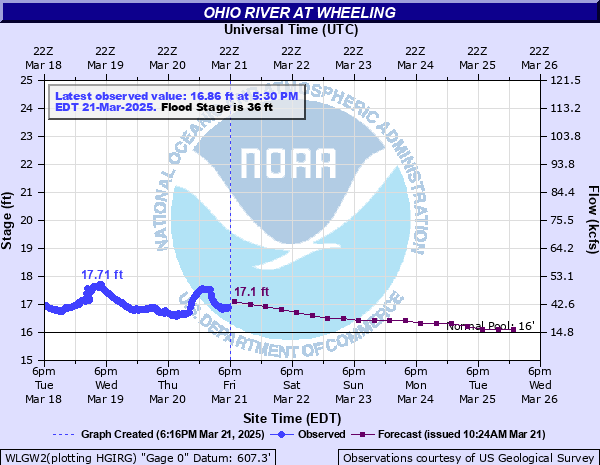
Ohio River at Wheeling
Critical Stages
26.7' - Action
36' - Flood
40' - Moderate
42' - Major
Latest Observation
Updated: 12:30 AM EST 12/5/25
Status: No Flooding
Stage: 15.99 ft
Flow: 14.6 kcfs
Forecast
| Time | Stage (ft) | Flow (kcfs) |
|---|---|---|
| 7 AM 12/5 | 16.1 | 15.7 |
| 1 PM 12/5 | 16.1 | 15.7 |
| 7 PM 12/5 | 16.1 | 15.7 |
| 1 AM 12/6 | 16 | 14.7 |
| 7 AM 12/6 | 16 | 14.7 |
| 1 PM 12/6 | 16 | 14.7 |
| 7 PM 12/6 | 16 | 14.7 |
| 1 AM 12/7 | 15.9 | 13.7 |
| 7 AM 12/7 | 15.9 | 13.7 |
| 1 PM 12/7 | 15.9 | 13.7 |
| 7 PM 12/7 | 15.9 | 13.7 |
| 1 AM 12/8 | 15.9 | 13.7 |
| 7 AM 12/8 | 15.9 | 13.7 |
| 1 PM 12/8 | 15.9 | 13.7 |
| 7 PM 12/8 | 15.9 | 13.7 |
| 1 AM 12/9 | 15.9 | 13.7 |
| 7 AM 12/9 | 15.9 | 13.7 |
| Time | Stage (ft) | Flow (kcfs) |
|---|---|---|
| 12:30 AM 12/5 | 15.99 | 14.6 |
| 12:15 AM 12/5 | 15.99 | 14.6 |
| 12:00 AM 12/5 | 16 | 14.7 |
| 11:45 PM 12/4 | 15.99 | 14.6 |
| 11:30 PM 12/4 | 15.96 | 14.3 |
| 11:15 PM 12/4 | 16.02 | 14.9 |
| 11:00 PM 12/4 | 16.01 | 14.8 |
| 10:45 PM 12/4 | 16.01 | 14.8 |
| 10:30 PM 12/4 | 16.02 | 14.9 |
| 10:15 PM 12/4 | 16.02 | 14.9 |
| 10:00 PM 12/4 | 16.02 | 14.9 |
| 9:45 PM 12/4 | 16.02 | 14.9 |
| 9:30 PM 12/4 | 16.03 | 15 |
| 9:15 PM 12/4 | 16.05 | 15.2 |
| 9:00 PM 12/4 | 16.06 | 15.3 |
| 8:45 PM 12/4 | 15.94 | 14.1 |
| 8:30 PM 12/4 | 16.04 | 15.1 |
| 8:15 PM 12/4 | 16.04 | 15.1 |
| 8:00 PM 12/4 | 16.04 | 15.1 |
| 7:45 PM 12/4 | 16.05 | 15.2 |
| 7:30 PM 12/4 | 15.98 | 14.5 |
| 7:15 PM 12/4 | 16.03 | 15 |
| 7:00 PM 12/4 | 16.06 | 15.3 |
| 6:45 PM 12/4 | 16.05 | 15.2 |
| 6:30 PM 12/4 | 16.06 | 15.3 |
| 6:15 PM 12/4 | 16.08 | 15.5 |
| 6:00 PM 12/4 | 16.03 | 15 |
| 5:45 PM 12/4 | 16.05 | 15.2 |
| 5:30 PM 12/4 | 16.02 | 14.9 |
| 5:15 PM 12/4 | 16.04 | 15.1 |
47.7' -
Many areas of Warwood West Virginia are flooded.
46.7' -
All major streets in business district flood.
42.7' -
Much of southern half of Wheeling Island is flooded and up to Erie Street on the northern half of the island. Low lying sections of South Wheeling are flooded.
42' -
Flooding reaches the intersection of 39th and McColloch Streets and the intersection of Georgia and North Front Streets in Wheeling.
41' -
Water street in Wheeling is flooded near the intersctions with 12th, 21st, 45th, and 48th Streets.
40' -
Backwater flooding begins to affect Main Street near the water treatment plant in Wheeling.
39' -
The southern tip of Wheeling Island including Wheeling Downs Racetrack and Gaming and Wheeling Stadium are flooded.
38' -
Portions of Jacob and Wood Streets, south of 43rd Street begin to flood. Wheeling island Casino has to be closed.
37.7' -
Basement flooding begins in businesses along Main Street.
36.6' -
Wheeling Downs Racetrack on Wheeling Island floods.
36' -
Flooding begins in the vicinity or 25th and Market Streets, 34th and Market Streets, 36th and Chapline Streets in Wheeling. Water covers the lower parking lot at the Wheeling Island Casino.
34' -
Sewers begin to back up in the lower end of Wheeling Island.
| Date | Stage (ft) |
|---|---|
| Mar 19, 1936 | 55.2 |
| Dec 31, 1942 | 51.5 |
| Mar 28, 1913 | 51.2 |
| Mar 15, 1907 | 50.1 |
| Jan 26, 1937 | 48.7 |
| Mar 8, 1945 | 47.3 |
| Mar 12, 1964 | 47 |
| Jun 23, 1972 | 46.6 |
| Jan 23, 1937 | 46.2 |
| Mar 27, 1937 | 45.8 |
| Jan 20, 1996 | 45.4 |
| Sep 19, 2004 | 45.3 |
| Apr 15, 1948 | 44.8 |
| Oct 17, 1954 | 44.7 |
| Jan 19, 1913 | 44.2 |
| Jan 28, 1952 | 44 |
| May 2, 1902 | 43.3 |
| Jan 23, 1959 | 43.3 |
| Mar 20, 1908 | 42.8 |
| Mar 22, 1905 | 42.7 |
Data provided by the National Weather Service.