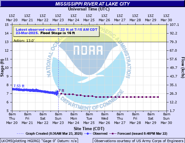
Mississippi River at Lake City
Critical Stages
13' - Action
16' - Flood
18' - Moderate
20' - Major
Latest Observation
Updated: 3:15 PM CST 12/8/25
Status: No Flooding
Stage: 6.44 ft
Flow: 18.1 kcfs
Forecast
Forecast not available for this location.
| Time | Stage (ft) | Flow (kcfs) |
|---|---|---|
| 3:15 PM 12/8 | 6.44 | 18.1 |
| 3:00 PM 12/8 | 6.44 | 18.1 |
| 2:45 PM 12/8 | 6.42 | 17.8 |
| 2:30 PM 12/8 | 6.42 | 17.8 |
| 2:15 PM 12/8 | 6.4 | 17.5 |
| 2:00 PM 12/8 | 6.4 | 17.5 |
| 1:45 PM 12/8 | 6.4 | 17.5 |
| 1:30 PM 12/8 | 6.41 | 17.7 |
| 1:15 PM 12/8 | 6.42 | 17.8 |
| 1:00 PM 12/8 | 6.42 | 17.8 |
| 12:45 PM 12/8 | 6.4 | 17.5 |
| 12:30 PM 12/8 | 6.41 | 17.7 |
| 12:15 PM 12/8 | 6.4 | 17.5 |
| 12:00 PM 12/8 | 6.42 | 17.8 |
| 11:45 AM 12/8 | 6.41 | 17.7 |
| 11:30 AM 12/8 | 6.42 | 17.8 |
| 11:15 AM 12/8 | 6.4 | 17.5 |
| 11:00 AM 12/8 | 6.42 | 17.8 |
| 10:45 AM 12/8 | 6.39 | 17.4 |
| 10:30 AM 12/8 | 6.41 | 17.7 |
| 10:15 AM 12/8 | 6.42 | 17.8 |
| 10:00 AM 12/8 | 6.4 | 17.5 |
| 9:45 AM 12/8 | 6.4 | 17.5 |
| 9:30 AM 12/8 | 6.4 | 17.5 |
| 9:15 AM 12/8 | 6.39 | 17.4 |
| 9:00 AM 12/8 | 6.38 | 17.2 |
| 8:45 AM 12/8 | 6.41 | 17.7 |
| 8:30 AM 12/8 | 6.4 | 17.5 |
| 8:15 AM 12/8 | 6.39 | 17.4 |
| 8:00 AM 12/8 | 6.38 | 17.2 |
25.4' -
Flooding begins along Franklin, Washington, and Walnut Streets.
24' -
Water begins to threaten the first floor of the Marina Building.
22.18' -
The water reaches the flood of record set in 1965.
22' -
Flooding begins along Chestnut Street, Park Street, and Lakeshore Drive.
20' -
Water begins to spread into the Marina.
19.7' -
The entrance to Hok-Si-La Park is flooded.
19.2' -
The intersection of South Oak Street and Camp Lakeview Road is closed.
19' -
The marina in Pepin Wisconsin is completely under water.
17' -
Structures on the lower end of Deer Island in Pepin area begin to flood. West Lake Road and Deer Island Road are partially under water, limiting access to homes and properties.
16' -
Minor lowland flooding occurs and some residential sections near the river are evacuated. Water and Sewer service is turned off along Central Point Road. In Wisconsin, structures on Barney's Point are inaccessible due to inundated access route. Stockholm Village Park is flooded.
14' -
Central Point Road is closed.
| Date | Stage (ft) |
|---|---|
| Apr 19, 1965 | 22.18 |
| Apr 17, 1969 | 20.2 |
| Apr 16, 2001 | 20.13 |
| Apr 18, 1952 | 19.17 |
| Apr 16, 1951 | 19.06 |
| Apr 25, 2023 | 18.98 |
| Apr 11, 1997 | 18.95 |
| Apr 1, 2019 | 17.63 |
| May 1, 1975 | 17.6 |
| Jun 28, 1993 | 17.45 |
| Apr 6, 1967 | 17.4 |
| Jun 30, 2024 | 17.26 |
| Apr 6, 1986 | 17.17 |
| May 6, 1954 | 17.13 |
| Apr 14, 2011 | 17.01 |
| Jun 21, 1943 | 16.55 |
| Jun 30, 2014 | 16.43 |
| May 7, 1950 | 16.31 |
| Apr 23, 1982 | 16.2 |
| Apr 25, 1979 | 16.12 |
Data provided by the National Weather Service.