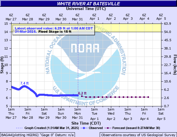
White River at Batesville
Critical Stages
14' - Action
15' - Flood
18' - Moderate
22' - Major
Latest Observation
Updated: 8:00 PM CST 12/9/25
Status: No Flooding
Stage: 7.1 ft
Flow: 6.52 kcfs
Forecast
| Time | Stage (ft) | Flow (kcfs) |
|---|---|---|
| 12 AM 12/10 | 7 | 6.11 |
| 6 AM 12/10 | 6.7 | 4.99 |
| 12 PM 12/10 | 6.4 | 3.89 |
| 6 PM 12/10 | 6.4 | 3.89 |
| 12 AM 12/11 | 6.4 | 3.89 |
| 6 AM 12/11 | 6.4 | 3.89 |
| 12 PM 12/11 | 6.5 | 4.29 |
| 6 PM 12/11 | 6.5 | 4.29 |
| 12 AM 12/12 | 6.5 | 4.29 |
| 6 AM 12/12 | 6.5 | 4.29 |
| 12 PM 12/12 | 6.5 | 4.29 |
| 6 PM 12/12 | 6.5 | 4.29 |
| 12 AM 12/13 | 6.5 | 4.29 |
| 6 AM 12/13 | 6.5 | 4.29 |
| 12 PM 12/13 | 6.5 | 4.29 |
| 6 PM 12/13 | 6.5 | 4.29 |
| 12 AM 12/14 | 6.5 | 4.29 |
| 6 AM 12/14 | 6.5 | 4.29 |
| Time | Stage (ft) | Flow (kcfs) |
|---|---|---|
| 8:00 PM 12/9 | 7.1 | 6.52 |
| 7:45 PM 12/9 | 7.1 | 6.52 |
| 7:30 PM 12/9 | 7.11 | 6.56 |
| 7:15 PM 12/9 | 7.11 | 6.56 |
| 7:00 PM 12/9 | 7.11 | 6.56 |
| 6:45 PM 12/9 | 7.11 | 6.56 |
| 6:30 PM 12/9 | 7.11 | 6.56 |
| 6:15 PM 12/9 | 7.11 | 6.56 |
| 6:00 PM 12/9 | 7.1 | 6.52 |
| 5:45 PM 12/9 | 7.1 | 6.52 |
| 5:30 PM 12/9 | 7.1 | 6.52 |
| 5:15 PM 12/9 | 7.1 | 6.52 |
| 5:00 PM 12/9 | 7.09 | 6.48 |
| 4:45 PM 12/9 | 7.09 | 6.48 |
| 4:30 PM 12/9 | 7.09 | 6.48 |
| 4:15 PM 12/9 | 7.08 | 6.44 |
| 4:00 PM 12/9 | 7.08 | 6.44 |
| 3:45 PM 12/9 | 7.07 | 6.4 |
| 3:30 PM 12/9 | 7.06 | 6.35 |
| 3:15 PM 12/9 | 7.06 | 6.35 |
| 3:00 PM 12/9 | 7.06 | 6.35 |
| 2:45 PM 12/9 | 7.05 | 6.31 |
| 2:30 PM 12/9 | 7.05 | 6.31 |
| 2:15 PM 12/9 | 7.05 | 6.31 |
| 2:00 PM 12/9 | 7.05 | 6.31 |
| 1:45 PM 12/9 | 7.05 | 6.31 |
| 1:30 PM 12/9 | 7.05 | 6.31 |
| 1:15 PM 12/9 | 7.05 | 6.31 |
| 1:00 PM 12/9 | 7.05 | 6.31 |
| 12:45 PM 12/9 | 7.06 | 6.35 |
31.9' -
Flood of record, February 1916 the river crested at 43.8 feet at the Lock 1 staff gage which is equilalent to a 31.9 foot crest at the newer gage on the U.S. Highway 167 Bridge. Life threatening situation. Much of the flood plain will be impacted. There will be numerous road closures, flooded homes, and evacuations will be needed. Levee openings should be closed.
30' -
Numerous road closures, flooding in portions of Batesville, Oil Trough, Newark. Batesville Levee openings should be closed. A crest of 30 feet at the bridge is equivalent to a crest over 42 feet at the Lock one Tailwater staff gage. Flood of December 1982 crested at 29.3 feet at the bridge, or about 42 feet at Lock One. Commercial property along U.S. Highway 167 and the southside water plant may be impacted. The 29.3 feet crest, was highest since completion of Bull Shoals and Norfork Dams.
28' -
Stoplogs should be placed in the Industrial Park Levee openings. Water about one foot over lowest sill levee opening. Water lapping at edge of pavement of U.S Highway 167 south of the bridge. Most of Oil Trough flooded. Southwest Batesville flooding. Water backing up Polk Bayou into parts of Batesville. A 28 foot stage at the bridge is approximately equal to about 40 foot stage at the Lock One Tailwater staff gage. December 1982 flood crest was 29.3 feet. March 2008 flood crest was 27 feet.
27' -
Flooding in portions of Batesville, serious flooding in Oil Trough. Water lapping over lowest sill of industrial park levee in Batesville. Wave action may increase problems. Levee openings should be closed. Numerous road closures. A 27 foot crest at gage on bridge equivalent to crest of 39 feet at the Lock One Tailwater staff gage. During the 2 flood events in 2008, river crested at 27 feet in March and 26.4 feet in April. December 1982 crest was 29.3 feet.
26' -
Serious flooding in Batesville, Oil Trough, and all along the river valley. Numerous road closures. Water will be about a foot below the lowest sill of the levee protecting the industrial area of Batesville. A crest of 26 feet at the bridge is equal to a crest of 38 feet at the Lock One Tailwater staff gage.
25' -
Serious problems in the White River Valley throughout Independence County, numerous structures impacted, evacuations may be needed, numerous roads closed. A 25 foot crest at the bridge is equivalent to a 37 foot stage at the Lock One Tailwater staff gage.
23' -
This is a serious flood situation. Portions of Batesville and Oil Trough will flood. State Highways 14 and 69 are flooded. A crest of 23 feet at the bridge is equivalent to a 35 foot crest at the Lock One Tailwater staff gage.
22' -
Lower portions of Batesville and Oil Trough will flood. State Highways 14 and 69 will be closed. A crest of 22 feet at the bridge is equivalent to a 34 foot crest at the Lock One Tailwater staff gage.
20' -
Portions of Oil Trough and lower portions of southwest Batesville may be flooded. State Highways 14 and 69 affected. Many thousands of acres of agricultural land is flooded. A 20 foot crest at the bridge is equilvalent to a 32 foot crest at the Lock One Tailwater staff gage.
18' -
Moderate flooding is occurring. State Highway 14 near Oil Trough, and farmland along the river may be flooded. A crest of 18 feet at the bridge is equivalent to a crest of 30 feet at the Lock One Tailwater staff gage.
17' -
A portion of State Highway 14 near Oil Trough may flood. Agricultural land along right bank floods. A crest of 17 feet at the bridge is equivalent to 28 foot crest at the Lock One Tailwater staff gage.
15' -
There will be minor flooding of agricutural land along the river. A 15 foot stage at the bridge is equivalent to 23 foot flood stage at Lock One Tailwater staff gage.
| Date | Stage (ft) |
|---|---|
| Feb 1, 1916 | 31.9 |
| Aug 22, 1915 | 31.6 |
| Apr 15, 1927 | 31.4 |
| Apr 16, 1945 | 29.43 |
| Dec 3, 1982 | 29.27 |
| May 12, 1943 | 28.01 |
| Feb 19, 1938 | 27.4 |
| Mar 13, 1935 | 27 |
| Mar 20, 2008 | 26.96 |
| Apr 12, 2008 | 26.4 |
| Dec 15, 1927 | 26 |
| Jan 26, 1949 | 25.72 |
| May 17, 1933 | 24.9 |
| May 13, 1950 | 24.77 |
| Apr 6, 2025 | 24.38 |
| Dec 29, 2015 | 24.15 |
| Apr 27, 2011 | 23.58 |
| Nov 26, 1973 | 23.5 |
| Apr 26, 2004 | 23.08 |
| May 1, 2017 | 22.7 |
Data provided by the National Weather Service.