Kingfisher Creek at Kingfisher
Critical Stages
18' - Action
20' - Flood
22' - Moderate
24' - Major
Latest Observation
Updated: 6:09 PM LMT 12/31/00
Status: Obs Not Current
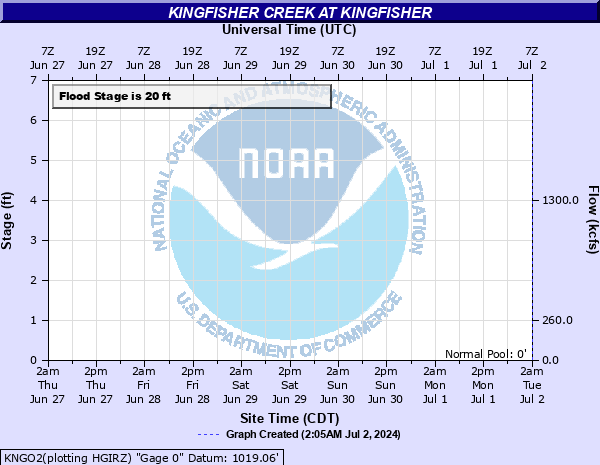
Stage: -999 ft
Flow: -999 kcfs
Forecast
Forecast not available for this location.
Observation history not available.
30' -
Flooding affects more than 60 city blocks in Kingfisher... and is 6 or more feet deeper than in May 1982 when 185 homes and businesses were affected. This flood will surpass the worst remembered in the history of Kingfisher... in September 1965... when 80 families were evacuated. State Highway 33 west and U.S. Highway 81 north of Kingfisher are closed. Rural areas suffer depths of 10 feet or more... hours before and after the crest at gage site just north of Kingfisher.
29' -
Near catastropic flooding averaging 9 feet in depth affects more than 50 city blocks in Kingfisher... about 5 feet deeper than in May 1982. State Highway 33 west and U.S. Highway 81 north of Kingfisher are closed hours before the crest time. This flood will be like the highest flood recorded in recent history... in September 1965... when 80 families were evacuated. Rural areas from west of Kingfisher to the Cimarron River may suffer depths up to 10 feet... beginning hours before the crest time.
28' -
Very swift water averaging 8 feet in depth closes State Highway 33 west and U.S. Highway 81 north of Kingfisher. More than 50 city blocks are flooded... more area than the FEMA flood insurance zone A. Depths in town average 4 feet more than in the flood of May 1982... which reached 150 homes... 35 businesses and 5 public buildings. Rural areas may suffer depths up to 9 feet... beginning west of Kingfisher hours before... then spreading downstream to the Cimarron River.
27' -
Very swift water averaging 7 feet in depth closes State Highway 33 west and U.S. Highway 81 north of Kingfisher. More than 50 city blocks are covered... comparable in area to the FEMA flood insurance zone A. depths in town will average 3 feet more than in the flood of May 1982. that flood reached 150 homes... 35 businesses... and 5 public buildings. Rural areas may suffer depths up to 8 feet... beginning west of Kingfisher hours before... then spreading downstream to the Cimarron River.
26' -
Swift water averaging 6 feet in depth closes State Highway 33 west and U.S. Highway 81 north of Kingfisher. About 50 city blocks are affected... comparable in area to the FEMA flood insurance zone A. Depths average 2 feet more than in May 1982... .when the flood inundated 150 homes... 35 businesses... and 5 public buildings. Rural areas may suffer depths up to 7 feet... beginning west of Kingfisher hours before... then spreading downstream to the Cimarron River.
25' -
Swift water averaging 5 feet in depth closes State Highway 33 west and U.S. Highway 81 north of Kingfisher. About 50 city blocks are affected... comparable in area to the FEMA flood insurance zone A. The lesser flood of May 1982 affected 150 homes... 35 businesses... and 5 public buildings. Rural areas may suffer depths up to 6 feet... beginning west of Kingfisher hours before... then spreading downstream to the Cimarron River.
24' -
Swift water averaging 4 feet in depth closes Highway 33 west and U.S. Highway 81 north of Kingfisher. A comparable flood in May 1982... affected 150 homes... 35 businesses... and 5 public buildings. Open ditches without guardrails along some residential streets create very hazardous driving conditions on these areas. Farmlands and rural roads west of Kingfisher may suffer depths up to 5 feet... with major flooding beginning there hours before the crest reaches Kingfisher.
23' -
Water depths averaging about 3 feet... close Highway 33 west of the city and affect residential and business areas of northwest Kingfisher. Open ditches without guardrails along some residential streets create very hazardous driving conditions in these areas. U.S. Highway 81 north along the main creek west of Kingfisher may see depths of 4 or more feet... with overflows beginning there hours before flooding reaches Kingfisher.
22' -
Expect depths averaging about 2 feet... across Highway 33 west and in residential and business areas of northwest Kingfisher. Open ditches without guardrails along some residential streets create very hazardous driving conditions in these areas. U.S. Highway 81 north along the main creek west of Kingfisher may see depths of 3 or more feet... with overflows beginning there hours before the crest reaches Kingfisher.
21' -
Expect depths averaging about a foot... across Highway 33 west and in residential and business areas of northwest Kingfisher. Open ditches without guardrails along some residential streets create very hazardous driving conditions in these areas. Farmlands and rural roads along the main creek west of Kingfisher may see depths of 2 or more feet... with overflows beginning in this area hours before the crest reaches the U.S. Highway 81 crossing just north of Kingfisher.
20' -
Expect overflows to low-lying rural areas located along Kingfisher creek... west of Kingfisher. Mostly farmlands and rural roads are affected. Fields may be isolated for several hours by swollen feeder creeks and high water in scour channels. Depths in the western part of Kingfisher will average less than a foot. However... open ditches without guardrails along some residential streets could create hazardous driving conditions in these areas.
19' -
Expect shallow flood depths up to a foot in depth west of the city of Kingfisher. Some agricultural fields and low-lying local roads near the creek are covered by brief... shallow flooding.
18' -
Expect near-bankfull creek levels west of the city of Kingfisher. Some agricultural fields and low-lying roads west of Kingfisher may be briefly flooded.
| Date | Stage (ft) |
|---|---|
| Sep 21, 1965 | 28 |
| Oct 2, 1986 | 26.7 |
| Jun 23, 1948 | 25.9 |
| Aug 20, 2007 | 25.2 |
| Oct 22, 1986 | 24.27 |
| May 16, 1982 | 23.9 |
| May 9, 1993 | 23.8 |
| Sep 13, 1961 | 23.8 |
| Jun 9, 1995 | 23.6 |
| Mar 5, 2004 | 23.5 |
| May 22, 1977 | 23.3 |
| Jun 25, 1967 | 23 |
| May 24, 2015 | 23 |
| Sep 30, 1986 | 23 |
| Oct 4, 1959 | 22.4 |
| May 16, 1980 | 22 |
| May 29, 1987 | 21.01 |
| Sep 19, 1988 | 21 |
| Apr 1, 1988 | 21 |
| Mar 4, 1988 | 21 |
Data provided by the National Weather Service.