North Canadian River near Shawnee
Critical Stages
16' - Action
18' - Flood
21' - Moderate
24' - Major
Latest Observation
Updated: 6:09 PM LMT 12/31/00
Status: Obs Not Current
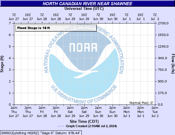
Stage: -999 ft
Flow: -999 kcfs
Forecast
Forecast not available for this location.
Observation history not available.
26' -
Serious flooding will hit homes and require evacuation of the community east of Beard Bridge on the south side of the North Canadian River. the floodwaters will bring very destructive currents... and depths up to 8 feet... over agricultural lands and rural roads in Pottawatomie County near Shawnee.
25' -
Serious flooding will hit homes and require evacuation of the community east of Beard Bridge on the south side of the North Canadian River. the floodwaters will bring very destructive currents... and depths up to 7 feet... over agricultural lands and rural roads in Pottawatomie County near Shawnee.
24' -
Serious flooding will hit homes and require evacuation of the community east of Beard Bridge on the south side of the North Canadian River. the floodwaters will bring dangerous currents... and depths up to 6 feet... over agricultural lands and rural roads in Pottawatomie County near Shawnee.
23' -
Serious flooding will hit homes and require evacuation of the community east of Beard Bridge on the south side of the North Canadian River. the floodwaters will bring dangerous currents... and depths up to 5 feet... over agricultural lands and rural roads in Pottawatomie County near Shawnee.
22' -
Serious flooding will hit homes and require evacuation of the community east of Beard Bridge on the south side of the North Canadian River. the floodwaters will bring dangerous currents... and depths up to 4 feet... over agricultural lands and rural roads in Pottawatomie County near Shawnee.
21' -
Serious flooding will hit homes in the community east of Beard Bridge on the south side of the North Canadian River. flooding of agricultural lands and rural roads will be dangerous with depths up to 3 feet... in Pottawatomie County near Shawnee.
20' -
Flooding will affect homes in the community east of Beard Bridge on the south side of the North Canadian River. look for agricultural flooding to depths averaging 2 feet... in Pottawatomie County near Shawnee.
19' -
Shallow flooding with depths of about 1 foot will cover rural areas and roads in Pottawatomie County near Shawnee. Street flooding will isolate homes in the community east of Beard Bridge on the south side of the North Canadian River.
18' -
Agricultural flooding will occur in Pottawatomie County near Shawnee. Street flooding may isolate homes in the community east of Beard Bridge on the south side of the North Canadian River.
17' -
Shallow flooding of low-lying areas near the river may occur in Pottawatomie County near Shawnee.
16' -
Shallow flooding of low-lying areas near the river may occur in Pottawatomie County near Shawnee.
| Date | Stage (ft) |
|---|---|
| May 10, 1993 | 20.9 |
| Jun 2, 2013 | 18 |
| May 24, 2015 | 17.5 |
| Aug 23, 2007 | 17.35 |
| Jun 16, 2010 | 17 |
| Jun 7, 1995 | 16.4 |
| May 28, 1995 | 16 |
Data provided by the National Weather Service.