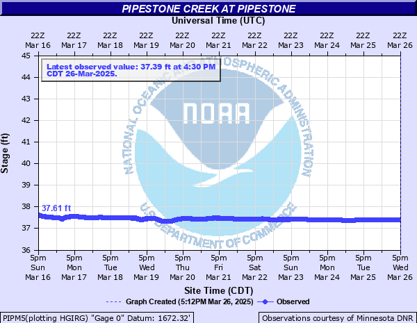
Pipestone Creek at Pipestone
Critical Stages
15' - Action
16' - Flood
18' - Moderate
20' - Major
Latest Observation
Updated: 11:30 AM CST 12/15/25
Status: No Flooding
Stage: 14.39 ft
Flow: -999 kcfs
Forecast
Forecast not available for this location.
| Time | Stage (ft) | Flow (kcfs) |
|---|---|---|
| 11:30 AM 12/15 | 14.39 | -999 |
| 11:15 AM 12/15 | 12.95 | -999 |
| 11:00 AM 12/15 | 12.08 | -999 |
| 10:45 AM 12/15 | 11.64 | -999 |
| 10:30 AM 12/15 | 11.46 | -999 |
| 10:15 AM 12/15 | 11.32 | -999 |
| 10:00 AM 12/15 | 11.22 | -999 |
| 9:45 AM 12/15 | 11.13 | -999 |
| 9:30 AM 12/15 | 11.09 | -999 |
| 9:15 AM 12/15 | 11.07 | -999 |
| 9:00 AM 12/15 | 11.06 | -999 |
| 8:45 AM 12/15 | 11.04 | -999 |
| 8:30 AM 12/15 | 11.05 | -999 |
| 8:15 AM 12/15 | 11.04 | -999 |
| 8:00 AM 12/15 | 11.04 | -999 |
| 7:45 AM 12/15 | 11.05 | -999 |
| 7:30 AM 12/15 | 11.04 | -999 |
| 7:15 AM 12/15 | 11.05 | -999 |
| 7:00 AM 12/15 | 11.04 | -999 |
| 6:45 AM 12/15 | 11.04 | -999 |
| 6:30 AM 12/15 | 11.04 | -999 |
| 6:15 AM 12/15 | 11.04 | -999 |
| 6:00 AM 12/15 | 11.04 | -999 |
| 5:45 AM 12/15 | 11.04 | -999 |
| 5:30 AM 12/15 | 11.05 | -999 |
| 5:15 AM 12/15 | 11.04 | -999 |
| 5:00 AM 12/15 | 11.05 | -999 |
| 4:45 AM 12/15 | 11.04 | -999 |
| 4:30 AM 12/15 | 11.04 | -999 |
| 4:15 AM 12/15 | 11.03 | -999 |
26' -
The bridge on County Road 67 is overtopped.
25.5' -
The bridge on County Road 5 is overtopped.
24.5' -
The bridge on Highway 75 is overtopped.
24' -
The bridge on Hwy 23 is overtopped. The water reaches the bottom of the bridge on County Road 5, and the bridge on County Road 67 east of Pipestone is overtopped.
23.5' -
Water reaches the bottom of the bridge on County Road 5 and the bridge on Highway 23 at the gage. Water also goes over County Road 69 east of Pipestone.
22.5' -
Water reaches the bottom of the bridge on County Road 67 east of Pipestone, and the bridge 1 miles west of Indian Lake is overtopped.
21.5' -
The railroad bridge east of Hwy 75 is overtopped and water is above the top of the culverts on County Road 69 east of Pipestone.
21' -
Water approaches the road near the junction of Hwy 23 and 75.
20.5' -
Water reaches the bottom of the bridge 1 mile west of Indian Lake, and the bridge on Highway 75 north of Indian Lake is overtopped.
19.5' -
Water reaches the bottom of the railroad bridge east of Highway 75.
18.5' -
Water is above the top of the culverts north of Indian Lake and may begin to approach some structures between Hwy 23 and 75.
16' -
The lower left banks overflow.
| Date | Stage (ft) |
|---|---|
| Sep 12, 2019 | 21.51 |
| May 8, 1993 | 20.28 |
| Sep 23, 2010 | 20.22 |
| May 6, 2012 | 20.01 |
| Jun 16, 2004 | 19.86 |
| Apr 6, 2019 | 19.73 |
| Mar 14, 2007 | 19.49 |
| Jun 9, 1999 | 19.03 |
| Apr 23, 2001 | 19 |
| Mar 28, 1997 | 18.77 |
| Jun 14, 2011 | 18.5 |
| Jul 3, 2018 | 18.2 |
| Aug 10, 2015 | 18.15 |
| Mar 31, 2006 | 17.95 |
| Aug 10, 1994 | 17.85 |
| Mar 28, 2002 | 17.78 |
| Apr 19, 1995 | 17.67 |
| May 18, 2000 | 17.59 |
| Mar 28, 1998 | 17.54 |
| Jun 22, 1991 | 17.5 |
Data provided by the National Weather Service.