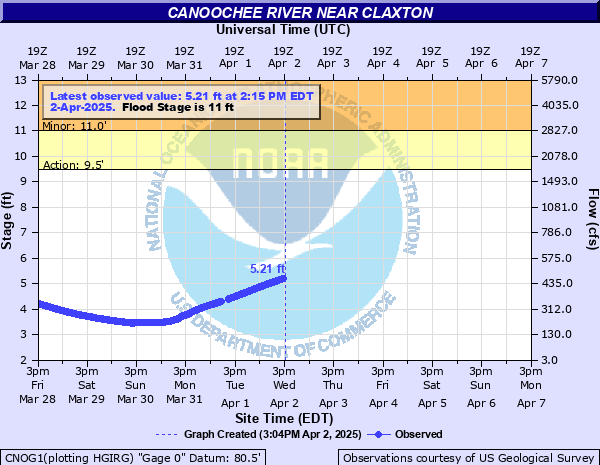
Canoochee River near Claxton
Critical Stages
9.5' - Action
11' - Flood
13.5' - Moderate
16' - Major
Latest Observation
Updated: 3:15 AM EST 12/5/25
Status: No Flooding
Stage: 1.39 ft
Flow: 0.0211 kcfs
Forecast
Forecast not available for this location.
| Time | Stage (ft) | Flow (kcfs) |
|---|---|---|
| 3:15 AM 12/5 | 1.39 | 0.0211 |
| 3:00 AM 12/5 | 1.39 | 0.0211 |
| 2:45 AM 12/5 | 1.39 | 0.0211 |
| 2:30 AM 12/5 | 1.39 | 0.0211 |
| 2:15 AM 12/5 | 1.39 | 0.0211 |
| 2:00 AM 12/5 | 1.39 | 0.0211 |
| 1:45 AM 12/5 | 1.39 | 0.0211 |
| 1:30 AM 12/5 | 1.39 | 0.0211 |
| 1:15 AM 12/5 | 1.39 | 0.0211 |
| 1:00 AM 12/5 | 1.39 | 0.0211 |
| 12:45 AM 12/5 | 1.39 | 0.0211 |
| 12:30 AM 12/5 | 1.39 | 0.0211 |
| 12:15 AM 12/5 | 1.39 | 0.0211 |
| 12:00 AM 12/5 | 1.39 | 0.0211 |
| 11:45 PM 12/4 | 1.39 | 0.0211 |
| 11:30 PM 12/4 | 1.39 | 0.0211 |
| 11:15 PM 12/4 | 1.39 | 0.0211 |
| 11:00 PM 12/4 | 1.39 | 0.0211 |
| 10:45 PM 12/4 | 1.39 | 0.0211 |
| 10:30 PM 12/4 | 1.39 | 0.0211 |
| 10:15 PM 12/4 | 1.39 | 0.0211 |
| 10:00 PM 12/4 | 1.39 | 0.0211 |
| 9:45 PM 12/4 | 1.39 | 0.0211 |
| 9:30 PM 12/4 | 1.39 | 0.0211 |
| 9:15 PM 12/4 | 1.39 | 0.0211 |
| 9:00 PM 12/4 | 1.39 | 0.0211 |
| 8:45 PM 12/4 | 1.39 | 0.0211 |
| 8:30 PM 12/4 | 1.39 | 0.0211 |
| 8:15 PM 12/4 | 1.39 | 0.0211 |
| 8:00 PM 12/4 | 1.39 | 0.0211 |
24' -
water will flow over the Highway 301 bridge.
16' -
several homes will be impacted by flood waters along Highway 169 near the Canoochee River.
14.5' -
the Highway 169 bridge holds back flood waters, which causes lowlands along the river to flood.
13.5' -
Hillside Drive, the main access road into Canoochee Properties, will be flooded.
11' -
several homes are flooded along Parker Springs Road in Canoochee Properties.
9.5' -
the Rocks River Bridge Park near the Highway 301 bridge floods.
| Date | Stage (ft) |
|---|---|
| Aug 7, 2024 | 18.11 |
| Jan 1, 1925 | 17.8 |
| Oct 1, 1929 | 17.6 |
| Jan 14, 1993 | 16.6 |
| May 26, 1966 | 16.58 |
| Mar 30, 2005 | 15.63 |
| May 21, 1969 | 15.01 |
| Mar 10, 1998 | 14.96 |
| Feb 20, 2021 | 14.88 |
| May 13, 2025 | 14.85 |
| Feb 22, 2020 | 14.76 |
| Sep 9, 2004 | 14.71 |
| Mar 7, 2020 | 14.67 |
| Jan 9, 1990 | 14.35 |
| Mar 11, 2024 | 14.29 |
| Aug 30, 1991 | 14.28 |
| Sep 1, 1928 | 14.1 |
| Nov 24, 1985 | 14.09 |
| Sep 1, 2023 | 13.95 |
| Feb 28, 2013 | 13.9 |
Data provided by the National Weather Service.