Pease River near Vernon
Critical Stages
13' - Action
15' - Flood
17' - Moderate
19' - Major
Latest Observation
Updated: 5:00 AM CST 12/16/25
Status: No Flooding
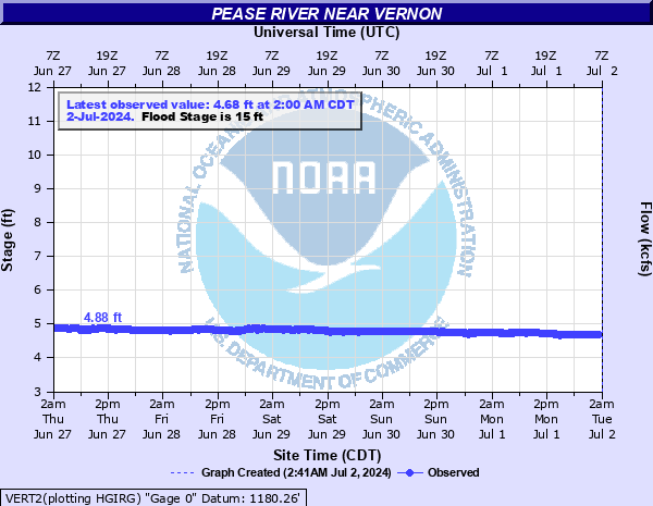
Stage: 4.28 ft
Flow: 0.0039 kcfs
Forecast
Forecast not available for this location.
| Time | Stage (ft) | Flow (kcfs) |
|---|---|---|
| 5:00 AM 12/16 | 4.28 | 0.0039 |
| 4:45 AM 12/16 | 4.28 | 0.0039 |
| 4:30 AM 12/16 | 4.28 | 0.0039 |
| 4:15 AM 12/16 | 4.28 | 0.0039 |
| 4:00 AM 12/16 | 4.28 | 0.0039 |
| 3:45 AM 12/16 | 4.28 | 0.0039 |
| 3:30 AM 12/16 | 4.28 | 0.0039 |
| 3:15 AM 12/16 | 4.28 | 0.0039 |
| 3:00 AM 12/16 | 4.28 | 0.0039 |
| 2:45 AM 12/16 | 4.28 | 0.0039 |
| 2:30 AM 12/16 | 4.28 | 0.0039 |
| 2:15 AM 12/16 | 4.28 | 0.0039 |
| 2:00 AM 12/16 | 4.28 | 0.0039 |
| 1:45 AM 12/16 | 4.28 | 0.0039 |
| 1:30 AM 12/16 | 4.28 | 0.0039 |
| 1:15 AM 12/16 | 4.28 | 0.0039 |
| 1:00 AM 12/16 | 4.28 | 0.0039 |
| 12:45 AM 12/16 | 4.28 | 0.0039 |
| 12:30 AM 12/16 | 4.29 | 0.0043 |
| 12:15 AM 12/16 | 4.28 | 0.0039 |
| 12:00 AM 12/16 | 4.28 | 0.0039 |
| 11:45 PM 12/15 | 4.28 | 0.0039 |
| 11:30 PM 12/15 | 4.28 | 0.0039 |
| 11:15 PM 12/15 | 4.28 | 0.0039 |
| 11:00 PM 12/15 | 4.28 | 0.0039 |
| 10:45 PM 12/15 | 4.28 | 0.0039 |
| 10:30 PM 12/15 | 4.28 | 0.0039 |
| 10:15 PM 12/15 | 4.28 | 0.0039 |
| 10:00 PM 12/15 | 4.28 | 0.0039 |
| 9:45 PM 12/15 | 4.28 | 0.0039 |
23' -
Agricultural fields... ranch lands... and rural roads along the Pease River in northern Wilbarger County are flooded by valley-wide overflows... at depths up to about 8 feet. Homes and businesses in the northern sections of Vernon may experience flood depths of 4 to 6 feet... accompanied by very dangerous currents.
22' -
Agricultural fields... ranch lands... and rural roads along the Pease River in northern Wilbarger County are flooded by valley-wide overflows... at depths up to about 7 feet. Homes and businesses in the northern sections of Vernon may experience flood depths of 3 to 5 feet... accompanied by dangerous currents.
21' -
Agricultural fields... ranch lands... and rural roads along the Pease River in northern Wilbarger County are flooded by valley-wide overflows... at depths up to about 6 feet. Homes and businesses in the northern sections of Vernon may experience flood depths of 2 to 4 feet... accompanied by dangerous currents.
20' -
Agricultural fields... ranch lands... and rural roads along the Pease River in northern Wilbarger County are flooded by valley-wide overflows... at depths up to about 5 feet... with dangerous currents. Homes and businesses in the northern sections of Vernon may be flooded or surrounded by water. Residential and commercial buildings north of U.S. Highway 287 may be affected.
19' -
Agricultural fields... ranch lands... and rural roads along the Pease River in Wilbarger County are flooded by overflow depths up to about 4 feet... with dangerous currents. Homes and businesses in northern sections of Vernon may see brief... shallow flooding.
18' -
Overflow depths up to about 3 feet affects agricultural lands and low-lying roads along the Pease River in northern Wilbarger County. Low-lying areas may see fast currents. The northern sections of Vernon may see brief... shallow flooding in streets.
17' -
Overflow depths up to about 2 feet affects agricultural lands and low-lying roads along the Pease River in northern Wilbarger County.
16' -
Shallow flooding affects agricultural lands and low-lying roads along the Pease River in northern Wilbarger County.
15' -
Brief... shallow flooding affects agricultural lands and low-lying roads along the Pease River in north Wilbarger County.
14' -
Near bankfull conditions extend along the Pease River in northern Wilbarger County.
| Date | Stage (ft) |
|---|---|
| Oct 21, 1983 | 20.15 |
| Aug 2, 1995 | 19.23 |
| Jun 5, 1995 | 19.1 |
| Sep 19, 1965 | 18.5 |
| Jul 11, 1999 | 18.39 |
| Oct 18, 1965 | 17.6 |
| Jul 25, 1975 | 17.37 |
| May 29, 1987 | 17.3 |
| Sep 23, 1997 | 17.04 |
| May 15, 1980 | 17 |
| Oct 17, 2006 | 16.64 |
| Jun 6, 1985 | 16.5 |
| Jun 8, 1991 | 15.87 |
| Jun 3, 2000 | 15.86 |
| Jun 9, 1962 | 15.42 |
| Apr 27, 2025 | 15.24 |
| Apr 12, 1967 | 15.12 |
| Oct 11, 1985 | 15 |
| Apr 26, 1997 | 14.9 |
| Sep 17, 2010 | 14.9 |
Data provided by the National Weather Service.