« Back to Evening Shade Rivers
Illinois River (AR OK) near Watts
Critical Stages
13' - Action
13' - Flood
17' - Moderate
23' - Major
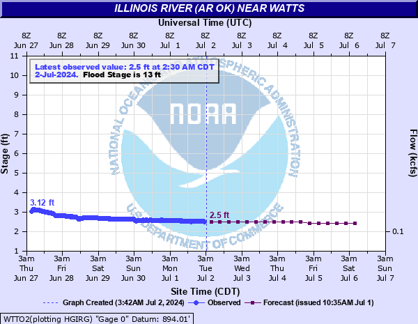
Latest Observation
Updated: 4:30 PM CST 12/15/25
Status: No Flooding
Stage: 2.51 ft
Flow: 0.281 kcfs
Forecast
| Time | Stage (ft) | Flow (kcfs) |
|---|---|---|
| 6 PM 12/15 | 2.5 | 0.278 |
| 12 AM 12/16 | 2.5 | 0.278 |
| 6 AM 12/16 | 2.5 | 0.278 |
| 12 PM 12/16 | 2.5 | 0.278 |
| 6 PM 12/16 | 2.5 | 0.278 |
| 12 AM 12/17 | 2.5 | 0.278 |
| 6 AM 12/17 | 2.4 | 0.253 |
| 12 PM 12/17 | 2.4 | 0.253 |
| 6 PM 12/17 | 2.4 | 0.253 |
| 12 AM 12/18 | 2.4 | 0.253 |
| 6 AM 12/18 | 2.4 | 0.253 |
| 12 PM 12/18 | 2.4 | 0.253 |
| 6 PM 12/18 | 2.4 | 0.253 |
| 12 AM 12/19 | 2.4 | 0.253 |
| 6 AM 12/19 | 2.4 | 0.253 |
| 12 PM 12/19 | 2.4 | 0.253 |
| 6 PM 12/19 | 2.4 | 0.253 |
| 12 AM 12/20 | 2.4 | 0.253 |
| 6 AM 12/20 | 2.4 | 0.253 |
| Time | Stage (ft) | Flow (kcfs) |
|---|---|---|
| 4:30 PM 12/15 | 2.51 | 0.281 |
| 4:00 PM 12/15 | 2.53 | 0.286 |
| 3:30 PM 12/15 | 2.57 | 0.296 |
| 3:00 PM 12/15 | 2.65 | 0.319 |
| 2:30 PM 12/15 | 2.68 | 0.328 |
| 2:00 PM 12/15 | 2.71 | 0.337 |
| 1:30 PM 12/15 | 2.67 | 0.325 |
| 1:00 PM 12/15 | 2.51 | 0.281 |
| 12:30 PM 12/15 | 2.51 | 0.281 |
| 12:00 PM 12/15 | 2.51 | 0.281 |
| 11:30 AM 12/15 | 2.51 | 0.281 |
| 11:00 AM 12/15 | 2.52 | 0.283 |
| 10:30 AM 12/15 | 2.51 | 0.281 |
| 10:00 AM 12/15 | 2.5 | 0.278 |
| 9:30 AM 12/15 | 2.51 | 0.281 |
| 9:00 AM 12/15 | 2.5 | 0.278 |
| 8:30 AM 12/15 | 2.51 | 0.281 |
| 8:00 AM 12/15 | 2.5 | 0.278 |
| 7:30 AM 12/15 | 2.51 | 0.281 |
| 7:00 AM 12/15 | 2.51 | 0.281 |
| 6:30 AM 12/15 | 2.51 | 0.281 |
| 6:00 AM 12/15 | 2.51 | 0.281 |
| 5:30 AM 12/15 | 2.51 | 0.281 |
| 5:00 AM 12/15 | 2.51 | 0.281 |
| 4:30 AM 12/15 | 2.51 | 0.281 |
| 4:00 AM 12/15 | 2.51 | 0.281 |
| 3:30 AM 12/15 | 2.51 | 0.281 |
| 3:00 AM 12/15 | 2.51 | 0.281 |
| 2:30 AM 12/15 | 2.51 | 0.281 |
| 2:00 AM 12/15 | 2.51 | 0.281 |
29' -
disastrous flooding occurs from the Arkansas border to Fidler's Bend. Many permanent campgrounds and cabins are overtopped, particularly in the Fidler's Bend area. River Valley Raceway is inundated by several feet, with water approaching the roof of the permanent building. This exceeds the floods of record of 28.6 feet that occurred December 28, 2015 and April 26, 2011. This is an extremely dangerous and life threatening situation.
27' -
disastrous flooding occurs from the Arkansas border to Fidler's Bend. Many permanent campgrounds and cabins are overtopped, particularly in the Fidler's Bend area. River Valley Raceway is inundated by several feet. This will approach the floods of record of 28.6 feet that occurred December 28, 2015 and April 26, 2011. This is an extremely dangerous and life threatening situation.
25' -
very severe flooding occurs from the Arkansas border to Fidler's Bend. Severe flooding of the River Valley Raceway, including the permanent building, occurs. Many cabins in the Fidler's Bend area are severely flooded. This is an extremely dangerous and life threatening situation.
23' -
very severe flooding occurs from the Arkansas border to Fidler's Bend. The permanent building at River Valley Raceway is flooded to a depth of a couple of feet. Numerous cabins in the Fidler's Bend area are flooded to a depth of several feet. This is a very dangerous and life threatening situation.
21' -
severe flooding occurs from the Arkansas border to Fidler's Bend. Water will reach the base of the building at River Valley Raceway. Farmlands and permanent campgrounds are inundated. Numerous cabins in the Fidler's Bend area are flooded. Extreme turbulence makes the river too hazardous for floating.
19' -
moderate flooding occurs from the Arkansas border to Fidler's Bend. Farmlands and permanent campgrounds are affected. Several cabins in the Fidler's Bend area may be flooded. Extreme turbulence makes the river too hazardous for floating.
17' -
moderate flooding occurs from the Arkansas border to Fidler's Bend. Farmlands and permanent campgrounds are affected. A few cabins in the Fidler's Bend area may have minor flooding. Extreme turbulence makes the river too hazardous for floating.
15' -
minor flooding occurs from the Arkansas border to near Fidler's Bend. Permanent campgrounds are affected. Extreme turbulence makes the river unsafe for floating.
13' -
minor flooding occurs from the Arkansas border to near Fidler's Bend. Extreme turbulence makes the river unsafe for floating.
| Date | Stage (ft) |
|---|---|
| Apr 30, 2017 | 30.12 |
| Dec 28, 2015 | 28.64 |
| Apr 26, 2011 | 28.6 |
| May 5, 2022 | 27.5 |
| Jul 25, 1960 | 25.96 |
| May 24, 2011 | 25.19 |
| May 3, 1990 | 25.08 |
| Mar 19, 2008 | 24.73 |
| Apr 3, 1957 | 24.73 |
| Oct 1, 1986 | 24.47 |
| May 7, 1961 | 24.32 |
| Oct 6, 2019 | 24.11 |
| Apr 28, 2021 | 23.98 |
| Nov 25, 1973 | 23.96 |
| Jun 16, 1982 | 22.91 |
| Apr 10, 2008 | 22.77 |
| Apr 24, 2004 | 22.73 |
| Apr 20, 1976 | 22.38 |
| Jun 22, 2000 | 22 |
| Oct 9, 2009 | 22 |
Data provided by the National Weather Service.