Lavaca River near Edna
Critical Stages
20' - Action
21' - Flood
25' - Moderate
28' - Major
Latest Observation
Updated: 10:15 PM CST 12/14/25
Status: No Flooding
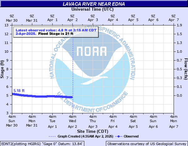
Stage: 4.38 ft
Flow: 0.0013 kcfs
Forecast
Forecast not available for this location.
| Time | Stage (ft) | Flow (kcfs) |
|---|---|---|
| 10:15 PM 12/14 | 4.38 | 0.0013 |
| 10:00 PM 12/14 | 4.38 | 0.0013 |
| 9:45 PM 12/14 | 4.37 | 0.0013 |
| 9:30 PM 12/14 | 4.37 | 0.0013 |
| 9:15 PM 12/14 | 4.37 | 0.0013 |
| 9:00 PM 12/14 | 4.37 | 0.0013 |
| 8:45 PM 12/14 | 4.37 | 0.0013 |
| 8:30 PM 12/14 | 4.37 | 0.0013 |
| 8:15 PM 12/14 | 4.37 | 0.0013 |
| 8:00 PM 12/14 | 4.37 | 0.0013 |
| 7:45 PM 12/14 | 4.37 | 0.0013 |
| 7:30 PM 12/14 | 4.37 | 0.0013 |
| 7:15 PM 12/14 | 4.37 | 0.0013 |
| 7:00 PM 12/14 | 4.37 | 0.0013 |
| 6:45 PM 12/14 | 4.37 | 0.0013 |
| 6:30 PM 12/14 | 4.37 | 0.0013 |
| 6:15 PM 12/14 | 4.38 | 0.0013 |
| 6:00 PM 12/14 | 4.37 | 0.0013 |
| 5:45 PM 12/14 | 4.38 | 0.0013 |
| 5:30 PM 12/14 | 4.38 | 0.0013 |
| 5:15 PM 12/14 | 4.38 | 0.0013 |
| 5:00 PM 12/14 | 4.38 | 0.0013 |
| 4:45 PM 12/14 | 4.38 | 0.0013 |
| 4:30 PM 12/14 | 4.38 | 0.0013 |
| 4:15 PM 12/14 | 4.37 | 0.0013 |
| 4:00 PM 12/14 | 4.38 | 0.0013 |
| 3:45 PM 12/14 | 4.38 | 0.0013 |
| 3:30 PM 12/14 | 4.38 | 0.0013 |
| 3:15 PM 12/14 | 4.37 | 0.0013 |
| 3:00 PM 12/14 | 4.38 | 0.0013 |
35' -
Disastrous flooding continues with the west approach to the Highway 59 bridge inundated and closed. Several homes in the Lavaca River floodplain upstream of Highway 59 into northern Jackson County are flooded. Hundreds of head of livestock may be cut off and drown in low-lying areas.
34' -
Disastrous flooding continues with water to the low steel of the Highway 59 bridge. Several homes in the floodplain upstream of Highway 59 are flooded with widespread inundation of primary and secondary roads. Hundreds of head of livestock may be cut off and drown in low-lying pasture areas.
33' -
Disasterous flooding occurs with the lowest homes upstream of Highway 59 flooded. There is several feet of water over secondary roads and low bridges. Flow is within inches of spilling over the approaches to the Highway 59 bridge. Hundreds of head of livestock upstream of Highway 59 to below Hallettesville may be isolated and drown.
30' -
Major lowland flooding continues with the river over one half mile side near the Highway 59 bridge. Numerous roads and bridges in the floodplain are inundated and closed. Livestock are isolated well into the floodplain.
28' -
Major lowland flooding begins with the river one half mile wide near the Highway 59 bridge. Primary roads and low bridges are flooded and secondary roads are closed. Livestock are isolated with widespread inundation of crop and pasture land.
25' -
Moderate lowland flooding begins with the river one third of a mile wide near the Highway 59 bridge flooding secondary roads and bridges along the river. Livestock are isolated and potentially drown.
23' -
Flooding along the Lavaca River reaches hundreds of yards into the lower floodplain backing up sloughs and low-lying areas. Minor roads near the river flood and livestock are isolated.
22' -
Flooding along the Lavaca River reaches well into the lower floodplain backing up sloughs and low-lying areas.
21' -
Minor lowland flooding begins with flow backing through preipheral channels adjacent to the river and reaches into sloughs and low-lying areas.
20' -
At levels above 20.0 feet, flows exceed the lowest sections of both banks.
| Date | Stage (ft) |
|---|---|
| Oct 19, 1994 | 35.49 |
| May 25, 1936 | 33.8 |
| Aug 29, 2017 | 32.53 |
| Jul 1, 1940 | 32.51 |
| Oct 19, 1998 | 32.38 |
| Jun 14, 1973 | 30.99 |
| Apr 12, 1997 | 30.38 |
| Jun 19, 2015 | 29.72 |
| Nov 26, 1940 | 29.7 |
| Sep 2, 1981 | 28.57 |
| Jul 3, 2007 | 28.08 |
| Sep 2, 2001 | 28 |
| Feb 12, 1992 | 27.78 |
| Oct 20, 1960 | 27.5 |
| Jun 6, 1987 | 27.22 |
| Apr 23, 1985 | 27.17 |
| May 2, 2007 | 27.03 |
| Oct 17, 1957 | 26.66 |
| May 29, 1952 | 26.54 |
| Oct 14, 1997 | 26.52 |
Data provided by the National Weather Service.