West Mustang Creek near Ganado
Critical Stages
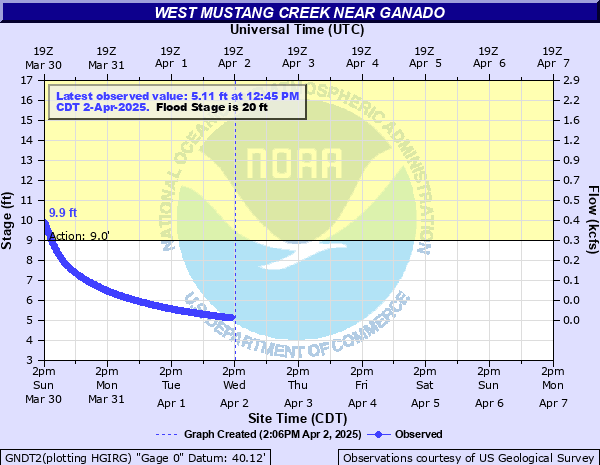
9' - Action
20' - Flood
22' - Moderate
24' - Major
Latest Observation
Updated: 9:45 PM CST 12/14/25
Status: No Flooding
Stage: 3.79 ft
Flow: 0.0015 kcfs
Forecast
Forecast not available for this location.
| Time | Stage (ft) | Flow (kcfs) |
|---|---|---|
| 9:45 PM 12/14 | 3.79 | 0.0015 |
| 9:30 PM 12/14 | 3.79 | 0.0015 |
| 9:15 PM 12/14 | 3.79 | 0.0015 |
| 9:00 PM 12/14 | 3.79 | 0.0015 |
| 8:45 PM 12/14 | 3.79 | 0.0015 |
| 8:30 PM 12/14 | 3.79 | 0.0015 |
| 8:15 PM 12/14 | 3.79 | 0.0015 |
| 8:00 PM 12/14 | 3.79 | 0.0015 |
| 7:45 PM 12/14 | 3.79 | 0.0015 |
| 7:30 PM 12/14 | 3.79 | 0.0015 |
| 7:15 PM 12/14 | 3.79 | 0.0015 |
| 7:00 PM 12/14 | 3.79 | 0.0015 |
| 6:45 PM 12/14 | 3.79 | 0.0015 |
| 6:30 PM 12/14 | 3.79 | 0.0015 |
| 6:15 PM 12/14 | 3.8 | 0.0015 |
| 6:00 PM 12/14 | 3.8 | 0.0015 |
| 5:45 PM 12/14 | 3.79 | 0.0015 |
| 5:30 PM 12/14 | 3.79 | 0.0015 |
| 5:15 PM 12/14 | 3.79 | 0.0015 |
| 5:00 PM 12/14 | 3.8 | 0.0015 |
| 4:45 PM 12/14 | 3.79 | 0.0015 |
| 4:30 PM 12/14 | 3.8 | 0.0015 |
| 4:15 PM 12/14 | 3.8 | 0.0015 |
| 4:00 PM 12/14 | 3.8 | 0.0015 |
| 3:45 PM 12/14 | 3.8 | 0.0015 |
| 3:30 PM 12/14 | 3.8 | 0.0015 |
| 3:15 PM 12/14 | 3.8 | 0.0015 |
| 3:00 PM 12/14 | 3.8 | 0.0015 |
| 2:45 PM 12/14 | 3.8 | 0.0015 |
| 2:30 PM 12/14 | 3.8 | 0.0015 |
28' -
Several feet of water inundates Highway 59 at West Mustang Creek which is over one half mile wide. Several homes in the floodplain are flooded.
24' -
Major lowland flooding begins with flows near the Highway 59 bridge and the lowest homes in the floodplain are threatened.
21' -
Moderate lowland flooding begins as water reaches the bottom concrete of the Highway 59 bridge. Secondary roads near the river are inundated and closed. Livestock in the floodplain are threatened.
20' -
Minor lowland flooding begins.
12' -
Flows exceed low-lying areas along both banks.
9' -
Flows exceed low-lying areas along the left bank.
| Date | Stage (ft) |
|---|---|
| Oct 19, 1994 | 28.39 |
| Jun 18, 2015 | 27.45 |
| Nov 22, 2004 | 27.1 |
| Jan 21, 1980 | 24.49 |
| Sep 1, 2001 | 22.52 |
| Nov 5, 2002 | 21.52 |
| Sep 20, 1979 | 21.27 |
| Aug 29, 2017 | 20.69 |
| Feb 13, 1992 | 20.29 |
| Jul 3, 2007 | 20.13 |
| Oct 19, 1998 | 19.72 |
| May 28, 2014 | 19.64 |
| Apr 5, 1997 | 19.42 |
| Oct 18, 1983 | 19.21 |
| Sep 12, 1998 | 18.96 |
| May 15, 2004 | 18.36 |
| Jul 16, 2002 | 18.31 |
| May 7, 1993 | 18.01 |
| May 7, 1982 | 17.87 |
| Apr 6, 1991 | 17.66 |
Data provided by the National Weather Service.