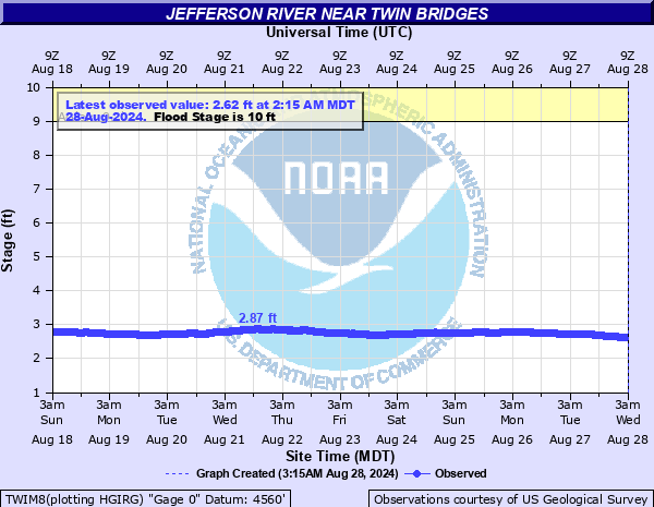
Jefferson River near Twin Bridges
Critical Stages
9' - Action
10' - Flood
11' - Moderate
12' - Major
Latest Observation
Updated: 8:15 PM MST 12/9/25
Status: No Flooding
Stage: 3.58 ft
Flow: 1.04 kcfs
Forecast
Forecast not available for this location.
| Time | Stage (ft) | Flow (kcfs) |
|---|---|---|
| 8:15 PM 12/9 | 3.58 | 1.04 |
| 8:00 PM 12/9 | 3.57 | 1.03 |
| 7:45 PM 12/9 | 3.57 | 1.03 |
| 7:30 PM 12/9 | 3.57 | 1.03 |
| 7:15 PM 12/9 | 3.57 | 1.03 |
| 7:00 PM 12/9 | 3.57 | 1.03 |
| 6:45 PM 12/9 | 3.57 | 1.03 |
| 6:30 PM 12/9 | 3.57 | 1.03 |
| 6:15 PM 12/9 | 3.56 | 1.02 |
| 6:00 PM 12/9 | 3.56 | 1.02 |
| 5:45 PM 12/9 | 3.56 | 1.02 |
| 5:30 PM 12/9 | 3.56 | 1.02 |
| 5:15 PM 12/9 | 3.56 | 1.02 |
| 5:00 PM 12/9 | 3.56 | 1.02 |
| 4:45 PM 12/9 | 3.55 | 1.02 |
| 4:30 PM 12/9 | 3.55 | 1.02 |
| 4:15 PM 12/9 | 3.55 | 1.02 |
| 4:00 PM 12/9 | 3.55 | 1.02 |
| 3:45 PM 12/9 | 3.55 | 1.02 |
| 3:30 PM 12/9 | 3.55 | 1.02 |
| 3:15 PM 12/9 | 3.55 | 1.02 |
| 3:00 PM 12/9 | 3.55 | 1.02 |
| 2:45 PM 12/9 | 3.55 | 1.02 |
| 2:30 PM 12/9 | 3.55 | 1.02 |
| 2:15 PM 12/9 | 3.55 | 1.02 |
| 2:00 PM 12/9 | 3.55 | 1.02 |
| 1:45 PM 12/9 | 3.55 | 1.02 |
| 1:30 PM 12/9 | 3.54 | 1.01 |
| 1:15 PM 12/9 | 3.55 | 1.02 |
| 1:00 PM 12/9 | 3.55 | 1.02 |
10.5' -
February 2019...River stage near 10.5 feet between Twin Bridges and Silver Star. No flooding reported. Cause is an ice jam. The start of the ice jam was north of Silver Star.
9.3' -
May 30 2018 - Around 9.3 feet, flooding continues downstream around Cardwell. Cardwell post office has water by it. Cardwell School is surrounded by water. Homes along this portion of the Jefferson River surrounded by water and basements flood.
9.1' -
May 30 2018 - Around 9.1 feet, flooding begins downstream around Cardwell.
| Date | Stage (ft) |
|---|---|
| Jun 9, 1997 | 12.42 |
| Jun 11, 1996 | 12 |
| Dec 14, 2000 | 11.25 |
| Feb 11, 2019 | 10.5 |
| Jan 7, 1999 | 10.35 |
| Jun 1, 2003 | 10.31 |
| May 31, 1999 | 10.08 |
| Jun 11, 2011 | 9.89 |
| Jun 12, 2011 | 9.7 |
| Jun 27, 1998 | 9.66 |
| Jun 2, 2009 | 9.58 |
| May 22, 2008 | 9.58 |
| Jun 11, 2006 | 9.44 |
| Jan 15, 2007 | 9.34 |
| Jun 19, 2010 | 9.33 |
| Jun 10, 1964 | 9.04 |
| Jan 3, 2004 | 8.79 |
| Jan 2, 2005 | 8.78 |
| Jan 2, 2002 | 8.52 |
| Jun 3, 2002 | 8.37 |
Data provided by the National Weather Service.