« Back to Fort Fairfield Rivers
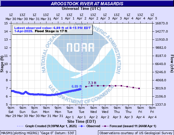
Aroostook River at Masardis
Critical Stages
15.5' - Action
17' - Flood
18' - Moderate
20' - Major
Latest Observation
Updated: 4:15 PM EST 12/15/25
Status: No Flooding
Stage: 4.51 ft
Flow: 1.02 kcfs
Forecast
| Time | Stage (ft) | Flow (kcfs) |
|---|---|---|
| 7 PM 12/15 | 3.3 | 0.389 |
| 1 AM 12/16 | 3.3 | 0.389 |
| 7 AM 12/16 | 3.3 | 0.389 |
| 1 PM 12/16 | 3.3 | 0.389 |
| 7 PM 12/16 | 3.3 | 0.389 |
| 1 AM 12/17 | 3.2 | 0.348 |
| 7 AM 12/17 | 3.2 | 0.348 |
| 1 PM 12/17 | 3.2 | 0.348 |
| 7 PM 12/17 | 3.2 | 0.348 |
| 1 AM 12/18 | 3.2 | 0.348 |
| 7 AM 12/18 | 3.2 | 0.348 |
| Time | Stage (ft) | Flow (kcfs) |
|---|---|---|
| 4:15 PM 12/15 | 4.51 | 1.02 |
| 4:00 PM 12/15 | 4.51 | 1.02 |
| 3:45 PM 12/15 | 4.5 | 1.01 |
| 3:30 PM 12/15 | 4.51 | 1.02 |
| 3:15 PM 12/15 | 4.5 | 1.01 |
| 3:00 PM 12/15 | 4.5 | 1.01 |
| 2:45 PM 12/15 | 4.5 | 1.01 |
| 2:30 PM 12/15 | 4.5 | 1.01 |
| 2:15 PM 12/15 | 4.5 | 1.01 |
| 2:00 PM 12/15 | 4.5 | 1.01 |
| 1:45 PM 12/15 | 4.5 | 1.01 |
| 1:30 PM 12/15 | 4.5 | 1.01 |
| 1:15 PM 12/15 | 4.5 | 1.01 |
| 1:00 PM 12/15 | 4.5 | 1.01 |
| 12:45 PM 12/15 | 4.5 | 1.01 |
| 12:30 PM 12/15 | 4.5 | 1.01 |
| 12:15 PM 12/15 | 4.5 | 1.01 |
| 12:00 PM 12/15 | 4.5 | 1.01 |
| 11:45 AM 12/15 | 4.5 | 1.01 |
| 11:30 AM 12/15 | 4.51 | 1.02 |
| 11:15 AM 12/15 | 4.5 | 1.01 |
| 11:00 AM 12/15 | 4.5 | 1.01 |
| 10:45 AM 12/15 | 4.5 | 1.01 |
| 10:30 AM 12/15 | 4.51 | 1.02 |
| 10:15 AM 12/15 | 4.51 | 1.02 |
| 10:00 AM 12/15 | 4.5 | 1.01 |
| 9:45 AM 12/15 | 4.51 | 1.02 |
| 9:30 AM 12/15 | 4.51 | 1.02 |
| 9:15 AM 12/15 | 4.51 | 1.02 |
| 9:00 AM 12/15 | 4.51 | 1.02 |
20' -
State Route 11 bridge across the St. Croix Stream is closed. Severe impact to structures along State Route 11 in Masardis.
18' -
Garfield Road closed at the bridge over the Aroostook River. Several structures along State Route 11 in Masardis impacted by floodwaters. Significant inundation of agricultural lands downstream of the St. Croix Stream in Masardis to the Butler Island Wildlife Management Area in Ashland.
17' -
Minor flooding along State Route 11 in Masardis and backwater flooding along the St. Croix Stream.
15.5' -
Minor flooding occurs in agricultural lands along the river from Downstream of the St. Croix Stream in Masardis to the Butler Island Wildlife Management Area in Ashland.
| Date | Stage (ft) |
|---|---|
| Apr 9, 2009 | 18.7 |
| May 1, 2008 | 18.33 |
| Apr 16, 2014 | 18.17 |
| Apr 18, 1994 | 18 |
| Apr 19, 1983 | 17.7 |
| Apr 30, 1973 | 16.95 |
| Apr 5, 1976 | 16.81 |
| Apr 30, 1979 | 16.76 |
| Dec 23, 1974 | 16.68 |
| Apr 28, 2018 | 16.57 |
| Dec 23, 1958 | 16.44 |
| Apr 25, 1958 | 16.3 |
| Apr 3, 1987 | 16.28 |
| Apr 22, 2019 | 16.19 |
| Apr 24, 1982 | 16.08 |
| May 16, 1961 | 16.03 |
| Apr 26, 2007 | 15.29 |
| Dec 20, 2023 | 14.83 |
| Apr 20, 2008 | 14.75 |
| Apr 18, 2017 | 14.17 |
Data provided by the National Weather Service.