« Back to Fort Fairfield Rivers
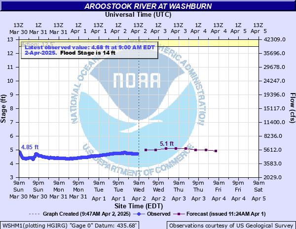
Aroostook River at Washburn
Critical Stages
12.5' - Action
14' - Flood
17' - Moderate
20' - Major
Latest Observation
Updated: 4:00 PM EST 12/15/25
Status: No Flooding
Stage: 3.51 ft
Flow: 2.76 kcfs
Forecast
| Time | Stage (ft) | Flow (kcfs) |
|---|---|---|
| 7 PM 12/15 | 1.7 | 0.682 |
| 1 AM 12/16 | 1.7 | 0.682 |
| 7 AM 12/16 | 1.7 | 0.682 |
| 1 PM 12/16 | 1.7 | 0.682 |
| 7 PM 12/16 | 1.7 | 0.682 |
| 1 AM 12/17 | 1.6 | 0.608 |
| 7 AM 12/17 | 1.6 | 0.608 |
| 1 PM 12/17 | 1.6 | 0.608 |
| 7 PM 12/17 | 1.6 | 0.608 |
| 1 AM 12/18 | 1.6 | 0.608 |
| 7 AM 12/18 | 1.6 | 0.608 |
| Time | Stage (ft) | Flow (kcfs) |
|---|---|---|
| 4:00 PM 12/15 | 3.51 | 2.76 |
| 3:45 PM 12/15 | 3.51 | 2.76 |
| 3:30 PM 12/15 | 3.52 | 2.78 |
| 3:15 PM 12/15 | 3.52 | 2.78 |
| 3:00 PM 12/15 | 3.52 | 2.78 |
| 2:45 PM 12/15 | 3.52 | 2.78 |
| 2:30 PM 12/15 | 3.52 | 2.78 |
| 2:15 PM 12/15 | 3.52 | 2.78 |
| 2:00 PM 12/15 | 3.53 | 2.79 |
| 1:45 PM 12/15 | 3.53 | 2.79 |
| 1:30 PM 12/15 | 3.53 | 2.79 |
| 1:15 PM 12/15 | 3.53 | 2.79 |
| 1:00 PM 12/15 | 3.53 | 2.79 |
| 12:45 PM 12/15 | 3.53 | 2.79 |
| 12:30 PM 12/15 | 3.53 | 2.79 |
| 12:15 PM 12/15 | 3.53 | 2.79 |
| 12:00 PM 12/15 | 3.53 | 2.79 |
| 11:45 AM 12/15 | 3.53 | 2.79 |
| 11:30 AM 12/15 | 3.53 | 2.79 |
| 11:15 AM 12/15 | 3.53 | 2.79 |
| 11:00 AM 12/15 | 3.53 | 2.79 |
| 10:45 AM 12/15 | 3.53 | 2.79 |
| 10:30 AM 12/15 | 3.53 | 2.79 |
| 10:15 AM 12/15 | 3.53 | 2.79 |
| 10:00 AM 12/15 | 3.53 | 2.79 |
| 9:45 AM 12/15 | 3.53 | 2.79 |
| 9:30 AM 12/15 | 3.54 | 2.81 |
| 9:15 AM 12/15 | 3.54 | 2.81 |
| 9:00 AM 12/15 | 3.54 | 2.81 |
| 8:45 AM 12/15 | 3.54 | 2.81 |
21.5' -
Historic flooding. Catastrophic damage to homes and camps between Castle Hill and Presque Isle. Castle Hill Road bridge inundated by floodwaters. Significant road closures and infastructure integrity threatened.
20' -
Widespread flooding of Gardner Creek Road, South Wade Road, Parsons Road and State Route 164. Numerous homes and camps inundated from Wade and Washburn downstream to Presque Isle. Flooding similar to December 1973.
19.5' -
Water reaches the bottom of the Castle Hill Road bridge. Similar flooding to the flood of April 20th, 2019. Gardner Creek Road is impassable in several locations with several homes & camps along the river inundated. Backwater flooding of Clayton Brook floods Parsons Road. Route 164 is closed due to backwater flooding on numerous creeks and streams between Adaline to Crouseville and downstream to Presque Isle.
17' -
Several structures inundated on Gardner Creek Road. Gardner Creek Road is impassable at Gardner Brook due to backwater. Backwater in Salmon Brook will cause minor flooding of Gardner Creek Road in Washburn.
15' -
Minor flooding on Gardner Creek Road in Washburn and Wade. Numerous river side camps and properties threatened between Castle Hill and Wade. Minor flooding in Crouseville along Route 164 near Rum Rapids. Dangerous swiftwater flows through Washburn. Backwater in Salmon Brook may begin to flood Gardner Creek Road in Washburn.
14' -
Minor flooding along State Route 164 and Parsons Road mainly impacting agricultural fields. Backwater issues will cause Clayton Brook to threaten Parsons Road. Backwater will also cause streams near Langille Road and State Route 164 to threaten properties. Low lying properties along Gardner Creek Road will begin to flood. Camps along the river banks in Wade and Castle Hill begin to be threatened.
12.5' -
River approaches bankfull with increasingly dangerous flows.
| Date | Stage (ft) |
|---|---|
| Apr 18, 2015 | 21.14 |
| Dec 24, 1973 | 20.91 |
| Apr 20, 2019 | 19.66 |
| Apr 8, 1990 | 17.8 |
| Apr 12, 1991 | 17.47 |
| Apr 7, 2009 | 16.43 |
| Apr 7, 2009 | 16.43 |
| Apr 6, 1950 | 15.78 |
| Apr 22, 1982 | 15.67 |
| Apr 16, 1994 | 15.27 |
| Apr 21, 2018 | 14.99 |
| Dec 21, 1958 | 14.9 |
| Apr 3, 1976 | 14.74 |
| Apr 18, 2008 | 14.4 |
| Apr 9, 2005 | 14.1 |
| Apr 20, 2003 | 14 |
| Mar 30, 1953 | 13.95 |
| Apr 19, 1983 | 13.73 |
| Apr 30, 1973 | 13.68 |
| May 2, 1974 | 13.58 |
Data provided by the National Weather Service.