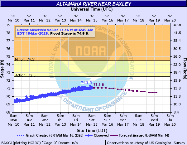
Altamaha River near Baxley
Critical Stages
72.5' - Action
74.5' - Flood
80' - Moderate
84' - Major
Latest Observation
Updated: 5:45 AM EST 12/16/25
Status: No Flooding
Stage: 65.43 ft
Flow: 4.69 kcfs
Forecast
| Time | Stage (ft) | Flow (kcfs) |
|---|---|---|
| 7 AM 12/16 | 65.5 | 4.77 |
| 1 PM 12/16 | 65.5 | 4.77 |
| 7 PM 12/16 | 65.4 | 4.65 |
| 1 AM 12/17 | 65.4 | 4.65 |
| 7 AM 12/17 | 65.4 | 4.65 |
| 1 PM 12/17 | 65.4 | 4.65 |
| 7 PM 12/17 | 65.3 | 4.53 |
| 1 AM 12/18 | 65.3 | 4.53 |
| 7 AM 12/18 | 65.3 | 4.53 |
| 1 PM 12/18 | 65.2 | 4.41 |
| 7 PM 12/18 | 65.2 | 4.41 |
| 1 AM 12/19 | 65.2 | 4.41 |
| 7 AM 12/19 | 65.1 | 4.29 |
| 1 PM 12/19 | 65.1 | 4.29 |
| 7 PM 12/19 | 65.1 | 4.29 |
| 1 AM 12/20 | 65 | 4.17 |
| 7 AM 12/20 | 65 | 4.17 |
| Time | Stage (ft) | Flow (kcfs) |
|---|---|---|
| 5:45 AM 12/16 | 65.43 | 4.69 |
| 5:30 AM 12/16 | 65.44 | 4.7 |
| 5:15 AM 12/16 | 65.43 | 4.69 |
| 5:00 AM 12/16 | 65.44 | 4.7 |
| 4:45 AM 12/16 | 65.44 | 4.7 |
| 4:30 AM 12/16 | 65.44 | 4.7 |
| 4:15 AM 12/16 | 65.44 | 4.7 |
| 4:00 AM 12/16 | 65.45 | 4.71 |
| 3:45 AM 12/16 | 65.45 | 4.71 |
| 3:30 AM 12/16 | 65.45 | 4.71 |
| 3:15 AM 12/16 | 65.45 | 4.71 |
| 3:00 AM 12/16 | 65.45 | 4.71 |
| 2:45 AM 12/16 | 65.45 | 4.71 |
| 2:30 AM 12/16 | 65.45 | 4.71 |
| 2:15 AM 12/16 | 65.45 | 4.71 |
| 2:00 AM 12/16 | 65.46 | 4.72 |
| 1:45 AM 12/16 | 65.46 | 4.72 |
| 1:30 AM 12/16 | 65.46 | 4.72 |
| 1:15 AM 12/16 | 65.46 | 4.72 |
| 1:00 AM 12/16 | 65.46 | 4.72 |
| 12:45 AM 12/16 | 65.47 | 4.74 |
| 12:30 AM 12/16 | 65.46 | 4.72 |
| 12:15 AM 12/16 | 65.46 | 4.72 |
| 12:00 AM 12/16 | 65.47 | 4.74 |
| 11:45 PM 12/15 | 65.47 | 4.74 |
| 11:30 PM 12/15 | 65.47 | 4.74 |
| 11:15 PM 12/15 | 65.47 | 4.74 |
| 11:00 PM 12/15 | 65.48 | 4.75 |
| 10:45 PM 12/15 | 65.48 | 4.75 |
| 10:30 PM 12/15 | 65.48 | 4.75 |
82' -
Water begins to impact homes in the Carters Bight, Davis Landing and Morris Landing areas. Davis Landing Road, Morris Landing Road and Getaway Lane are completely flooded.
78' -
Deens Landing and Carter Linton Landing are completely flooded. Davis Landing Road, Morris Landing Road and Getaway Lane at Carters Bight Landing begin to flood.
74.5' -
Flooding of agricultural and timber lands is expected. Deens Landing and Linton Carter Landing boat ramps, picnic areas and parking lots begin to flood.
| Date | Stage (ft) |
|---|---|
| Jan 22, 1925 | 91.51 |
| Apr 12, 1936 | 89 |
| Mar 11, 1929 | 88.91 |
| Aug 23, 1928 | 86.81 |
| Dec 10, 1948 | 86.61 |
| Oct 9, 1929 | 86.61 |
| Apr 1, 1944 | 86.01 |
| Mar 16, 1998 | 85.66 |
| Feb 12, 1998 | 84.53 |
| Mar 12, 1971 | 84.19 |
| Jul 16, 1994 | 84.09 |
| Jan 6, 2016 | 83.74 |
| Mar 26, 1975 | 83.73 |
| Apr 11, 2009 | 83.68 |
| Mar 21, 1980 | 83.2 |
| Feb 28, 2020 | 83.14 |
| Jan 3, 1998 | 82.54 |
| Mar 6, 1979 | 82.46 |
| Apr 5, 2005 | 82.16 |
| Feb 5, 1978 | 82.16 |
Data provided by the National Weather Service.