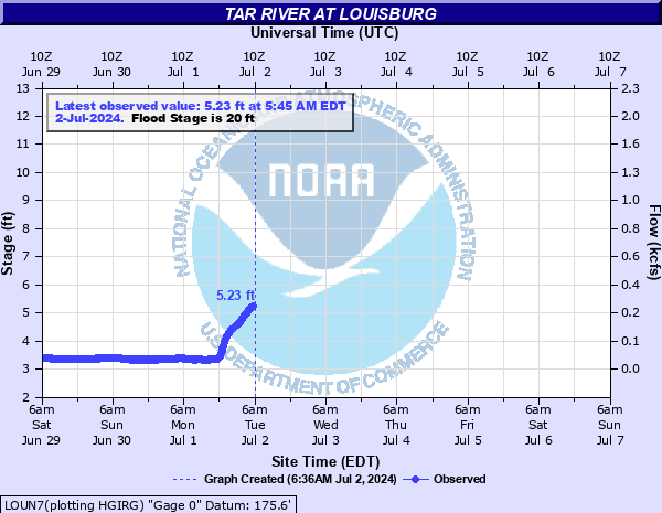
Tar River at Louisburg
Critical Stages
20' - Action
20' - Flood
22' - Moderate
23' - Major
Latest Observation
Updated: 11:45 PM EST 12/14/25
Status: No Flooding
Stage: 4.13 ft
Flow: 0.0553 kcfs
Forecast
Forecast not available for this location.
| Time | Stage (ft) | Flow (kcfs) |
|---|---|---|
| 11:45 PM 12/14 | 4.13 | 0.0553 |
| 11:30 PM 12/14 | 4.13 | 0.0553 |
| 11:15 PM 12/14 | 4.13 | 0.0553 |
| 11:00 PM 12/14 | 4.13 | 0.0553 |
| 10:45 PM 12/14 | 4.13 | 0.0553 |
| 10:30 PM 12/14 | 4.13 | 0.0553 |
| 10:15 PM 12/14 | 4.13 | 0.0553 |
| 10:00 PM 12/14 | 4.13 | 0.0553 |
| 9:45 PM 12/14 | 4.13 | 0.0553 |
| 9:30 PM 12/14 | 4.08 | 0.0513 |
| 9:15 PM 12/14 | 4.13 | 0.0553 |
| 9:00 PM 12/14 | 4.1 | 0.053 |
| 8:45 PM 12/14 | 4.09 | 0.0521 |
| 8:30 PM 12/14 | 4.08 | 0.0513 |
| 8:15 PM 12/14 | 4.09 | 0.0521 |
| 8:00 PM 12/14 | 4.07 | 0.0505 |
| 7:45 PM 12/14 | 4.09 | 0.0521 |
| 7:30 PM 12/14 | 4.1 | 0.053 |
| 7:15 PM 12/14 | 4.07 | 0.0505 |
| 7:00 PM 12/14 | 4.11 | 0.0538 |
| 6:45 PM 12/14 | 4.1 | 0.053 |
| 6:30 PM 12/14 | 4.05 | 0.0489 |
| 6:15 PM 12/14 | 4.09 | 0.0521 |
| 6:00 PM 12/14 | 4.09 | 0.0521 |
| 5:45 PM 12/14 | 4.06 | 0.0497 |
| 5:30 PM 12/14 | 4.07 | 0.0505 |
| 5:15 PM 12/14 | 4.1 | 0.053 |
| 5:00 PM 12/14 | 4.05 | 0.0489 |
| 4:45 PM 12/14 | 4.06 | 0.0497 |
| 4:30 PM 12/14 | 4.09 | 0.0521 |
37' -
Water reaches the road surface of the US401 bridge.
34' -
South Main Street bridge is flooded to a depth of approximately 5 feet.
29' -
Water reaches the road level of the Main Street bridge. Flooding reaches businesses on Main and Nash Streets. The grounds of the Louisburg wastewater treatment plant (near the mouth of Fox swamp) is covered with water.
25' -
Significant flooding at businesses along Johnson, Court, Elm, and Short Streets.
23' -
Major flooding begins. Homes and businesses along Johnson Street flood.
22' -
Moderate flooding begins. Flooding begins in Pruitt and Shannon Villages on the east side of town.
20' -
Minor flooding begins. Banks overflow at Main Street. River Bend Park is flooded and storm drains are inundated along the river.
18' -
Bankfull in the vicinity of Main Street. Minor flooding begins in River Bend Park 0.1 miles upstream of Main Street.
| Date | Stage (ft) |
|---|---|
| Sep 17, 1999 | 26.05 |
| Sep 7, 1996 | 25.34 |
| Apr 28, 1978 | 24.36 |
| Oct 10, 2016 | 23.25 |
| Aug 9, 2024 | 23.23 |
| Jul 16, 1975 | 23 |
| Apr 26, 2017 | 22.9 |
| Nov 14, 2018 | 22.03 |
| Oct 13, 2002 | 21.77 |
| May 17, 2014 | 21.68 |
| Jan 5, 1992 | 21.57 |
| Mar 2, 1987 | 21.24 |
| Nov 23, 1985 | 21.16 |
| Nov 13, 1980 | 21.05 |
| Sep 19, 2018 | 20.98 |
| Mar 31, 2001 | 20.75 |
| Mar 7, 1984 | 20.69 |
| Feb 23, 1989 | 20.63 |
| Dec 26, 2020 | 20.59 |
| Sep 9, 1974 | 19.85 |
Data provided by the National Weather Service.