« Back to Franconia Ridge Trail Rivers
Pemigewasset River at Plymouth
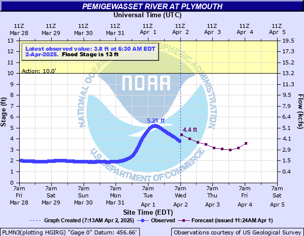
Critical Stages
10' - Action
13' - Flood
18' - Moderate
21' - Major
Latest Observation
Updated: 12:30 PM EST 12/10/25
Status: No Flooding
Stage: 1.16 ft
Flow: 0.505 kcfs
Forecast
| Time | Stage (ft) | Flow (kcfs) |
|---|---|---|
| 7 PM 12/10 | 1.1 | 0.461 |
| 1 AM 12/11 | 1.1 | 0.461 |
| 7 AM 12/11 | 1.1 | 0.461 |
| 1 PM 12/11 | 1.1 | 0.461 |
| 7 PM 12/11 | 1.1 | 0.461 |
| 1 AM 12/12 | 1.1 | 0.461 |
| 7 AM 12/12 | 1.1 | 0.461 |
| 1 PM 12/12 | 1.1 | 0.461 |
| 7 PM 12/12 | 1.1 | 0.461 |
| 1 AM 12/13 | 1 | 0.394 |
| 7 AM 12/13 | 1 | 0.394 |
| Time | Stage (ft) | Flow (kcfs) |
|---|---|---|
| 1:30 PM 12/10 | 1.18 | 0.521 |
| 1:15 PM 12/10 | 1.18 | 0.521 |
| 1:00 PM 12/10 | 1.18 | 0.521 |
| 12:45 PM 12/10 | 1.17 | 0.513 |
| 12:30 PM 12/10 | 1.16 | 0.505 |
| 12:15 PM 12/10 | 1.16 | 0.505 |
| 12:00 PM 12/10 | 1.16 | 0.505 |
| 11:45 AM 12/10 | 1.15 | 0.498 |
| 11:30 AM 12/10 | 1.15 | 0.498 |
| 11:15 AM 12/10 | 1.14 | 0.49 |
| 11:01 AM 12/10 | 1.14 | 0.49 |
| 11:00 AM 12/10 | 1.14 | 0.49 |
| 10:45 AM 12/10 | 1.13 | 0.483 |
| 10:30 AM 12/10 | 1.12 | 0.476 |
| 10:15 AM 12/10 | 1.11 | 0.468 |
| 10:00 AM 12/10 | 1.11 | 0.468 |
| 9:45 AM 12/10 | 1.1 | 0.461 |
| 9:30 AM 12/10 | 1.1 | 0.461 |
| 9:15 AM 12/10 | 1.09 | 0.454 |
| 9:00 AM 12/10 | 1.09 | 0.454 |
| 8:45 AM 12/10 | 1.08 | 0.447 |
| 8:30 AM 12/10 | 1.08 | 0.447 |
| 8:15 AM 12/10 | 1.08 | 0.447 |
| 8:00 AM 12/10 | 1.07 | 0.44 |
| 7:45 AM 12/10 | 1.07 | 0.44 |
| 7:30 AM 12/10 | 1.07 | 0.44 |
| 7:15 AM 12/10 | 1.06 | 0.434 |
| 7:00 AM 12/10 | 1.06 | 0.434 |
| 6:45 AM 12/10 | 1.06 | 0.434 |
| 6:30 AM 12/10 | 1.06 | 0.434 |
22' -
Flood waters 5 to 6 feet deep on route 175A in Holderness.
20.1' -
Flood waters rise to the doors of the PSU physical education center and the PSU ice arena.
18' -
South River Road and Avery Street flood in Holderness.
15.5' -
Flood waters over the road at the Irving station on route 175A in Holderness.
15' -
Flood waters up to the road at the Irving station on route 175A in Holderness.
14' -
Water enters the parking lot behind the PSU ice arena.
13' -
Minor lowland flooding begins.
| Date | Stage (ft) |
|---|---|
| Mar 19, 1936 | 29 |
| Nov 4, 1927 | 27.4 |
| Sep 21, 1938 | 23.62 |
| Apr 1, 1987 | 23.43 |
| Oct 25, 1959 | 22.68 |
| Jul 1, 1973 | 22.33 |
| Aug 29, 2011 | 21.69 |
| Mar 27, 1953 | 21.2 |
| Dec 22, 1973 | 20.61 |
| Dec 19, 2023 | 20.58 |
| Jan 27, 1986 | 20.28 |
| Mar 14, 1977 | 20.06 |
| Dec 21, 1973 | 20.05 |
| Feb 12, 1981 | 20.01 |
| Oct 30, 2017 | 19.77 |
| Apr 29, 1923 | 18.6 |
| Apr 20, 1914 | 17.5 |
| Dec 21, 1957 | 17.15 |
| Apr 9, 2000 | 16.41 |
| Jul 2, 2017 | 16.21 |
Data provided by the National Weather Service.