« Back to Fredericksburg Rivers
Llano River near Mason
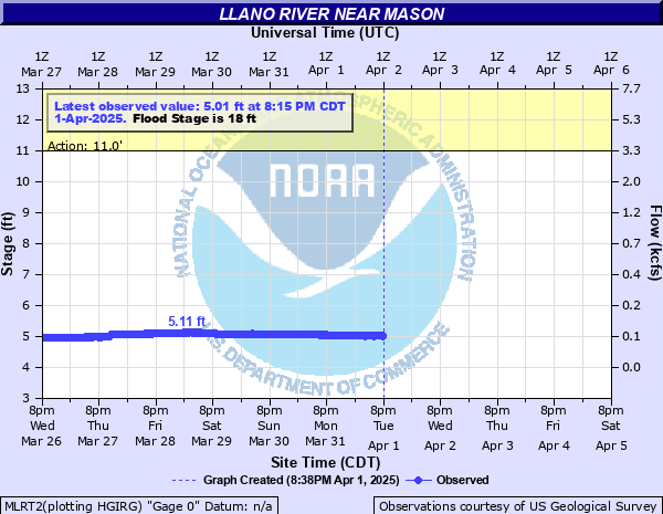
Critical Stages
11' - Action
18' - Flood
24' - Moderate
28' - Major
Latest Observation
Updated: 5:45 PM CST 12/4/25
Status: No Flooding
Stage: 5.85 ft
Flow: 0.121 kcfs
Forecast
Forecast not available for this location.
| Time | Stage (ft) | Flow (kcfs) |
|---|---|---|
| 5:45 PM 12/4 | 5.85 | 0.121 |
| 5:40 PM 12/4 | 5.85 | 0.121 |
| 5:35 PM 12/4 | 5.85 | 0.121 |
| 5:30 PM 12/4 | 5.85 | 0.121 |
| 5:25 PM 12/4 | 5.85 | 0.121 |
| 5:20 PM 12/4 | 5.85 | 0.121 |
| 5:15 PM 12/4 | 5.85 | 0.121 |
| 5:10 PM 12/4 | 5.85 | 0.121 |
| 5:05 PM 12/4 | 5.85 | 0.121 |
| 5:00 PM 12/4 | 5.85 | 0.121 |
| 4:55 PM 12/4 | 5.86 | 0.123 |
| 4:50 PM 12/4 | 5.85 | 0.121 |
| 4:45 PM 12/4 | 5.85 | 0.121 |
| 4:40 PM 12/4 | 5.85 | 0.121 |
| 4:35 PM 12/4 | 5.86 | 0.123 |
| 4:30 PM 12/4 | 5.85 | 0.121 |
| 4:25 PM 12/4 | 5.85 | 0.121 |
| 4:20 PM 12/4 | 5.86 | 0.123 |
| 4:15 PM 12/4 | 5.86 | 0.123 |
| 4:10 PM 12/4 | 5.85 | 0.121 |
| 4:05 PM 12/4 | 5.85 | 0.121 |
| 4:00 PM 12/4 | 5.85 | 0.121 |
| 3:55 PM 12/4 | 5.85 | 0.121 |
| 3:50 PM 12/4 | 5.85 | 0.121 |
| 3:45 PM 12/4 | 5.85 | 0.121 |
| 3:40 PM 12/4 | 5.85 | 0.121 |
| 3:35 PM 12/4 | 5.85 | 0.121 |
| 3:30 PM 12/4 | 5.86 | 0.123 |
| 3:25 PM 12/4 | 5.85 | 0.121 |
| 3:20 PM 12/4 | 5.85 | 0.121 |
28' -
Major lowland flooding will occur. Roads and low water crossings will be flooded and impassible.
24' -
Moderate lowland flooding will occur. Secondary roads and low water crossings will be flooded and impassible.
18' -
Minor lowland flooding will occur. Secondary roads and low water crossings will become flooded.
| Date | Stage (ft) |
|---|---|
| Jun 14, 1935 | 46 |
| Sep 8, 1980 | 37 |
| Oct 16, 2018 | 34.21 |
| Nov 4, 2000 | 32 |
| Jun 13, 2008 | 31.33 |
| Jul 4, 2025 | 29.91 |
| Oct 13, 1973 | 26.3 |
| Dec 31, 1984 | 25.22 |
| Oct 13, 1981 | 25.06 |
| Jul 24, 2024 | 24.08 |
| Oct 8, 2018 | 22.68 |
| Nov 17, 2004 | 21.59 |
| Aug 3, 1978 | 21.35 |
| Jul 14, 2025 | 20.29 |
| Oct 5, 1969 | 18.53 |
| Jul 12, 1988 | 18.4 |
| Nov 15, 2001 | 17.74 |
| May 3, 1990 | 17.49 |
| Apr 16, 1977 | 16.64 |
| Aug 24, 1998 | 16.38 |
Data provided by the National Weather Service.