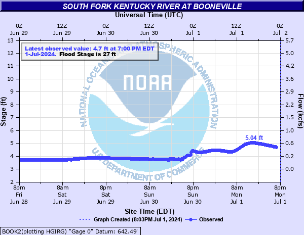
South Fork Kentucky River at Booneville
Critical Stages
21.5' - Action
27' - Flood
32' - Moderate
38' - Major
Latest Observation
Updated: 9:30 AM EST 12/14/25
Status: No Flooding
Stage: 4.84 ft
Flow: 0.495 kcfs
Forecast
Forecast not available for this location.
| Time | Stage (ft) | Flow (kcfs) |
|---|---|---|
| 9:30 AM 12/14 | 4.84 | 0.495 |
| 9:15 AM 12/14 | 4.83 | 0.491 |
| 9:00 AM 12/14 | 4.8 | 0.48 |
| 8:45 AM 12/14 | 4.84 | 0.495 |
| 8:30 AM 12/14 | 4.84 | 0.495 |
| 8:15 AM 12/14 | 4.83 | 0.491 |
| 8:00 AM 12/14 | 4.83 | 0.491 |
| 7:45 AM 12/14 | 4.83 | 0.491 |
| 7:30 AM 12/14 | 4.83 | 0.491 |
| 7:15 AM 12/14 | 4.83 | 0.491 |
| 7:00 AM 12/14 | 4.83 | 0.491 |
| 6:45 AM 12/14 | 4.83 | 0.491 |
| 6:30 AM 12/14 | 4.83 | 0.491 |
| 6:15 AM 12/14 | 4.83 | 0.491 |
| 6:00 AM 12/14 | 4.83 | 0.491 |
| 5:45 AM 12/14 | 4.81 | 0.484 |
| 5:30 AM 12/14 | 4.82 | 0.488 |
| 5:15 AM 12/14 | 4.82 | 0.488 |
| 5:00 AM 12/14 | 4.82 | 0.488 |
| 4:45 AM 12/14 | 4.82 | 0.488 |
| 4:30 AM 12/14 | 4.82 | 0.488 |
| 4:15 AM 12/14 | 4.82 | 0.488 |
| 4:00 AM 12/14 | 4.82 | 0.488 |
| 3:45 AM 12/14 | 4.79 | 0.476 |
| 3:30 AM 12/14 | 4.82 | 0.488 |
| 3:15 AM 12/14 | 4.81 | 0.484 |
| 3:00 AM 12/14 | 4.81 | 0.484 |
| 2:45 AM 12/14 | 4.81 | 0.484 |
| 2:30 AM 12/14 | 4.81 | 0.484 |
| 2:15 AM 12/14 | 4.81 | 0.484 |
44.33' -
Flooding will exceed the highest flood on record. Town is completely cut off.
35' -
Water enters the basement of a home off of Highway 30 on the right bank of the river.
27' -
Low lying areas flood. The bridge at Upper Wolf Creek Road, Shephards Lane, and the east end of Applegate Road at Buck Creek are impassable.
| Date | Stage (ft) |
|---|---|
| Mar 1, 2021 | 44.33 |
| Jan 30, 1957 | 43.4 |
| Feb 17, 2025 | 42.76 |
| Jun 29, 1947 | 41.7 |
| May 8, 1984 | 41.12 |
| Feb 28, 1962 | 40.74 |
| Feb 1, 1939 | 40.5 |
| Mar 14, 1975 | 40.36 |
| Mar 13, 1963 | 39.85 |
| Mar 23, 1929 | 39.3 |
| Jan 8, 1946 | 38.83 |
| Feb 17, 2003 | 38.63 |
| Feb 2, 1951 | 38.48 |
| Feb 14, 1948 | 38.26 |
| Apr 5, 1977 | 37.75 |
| Dec 22, 1926 | 37 |
| Apr 29, 1970 | 36.93 |
| Dec 9, 1978 | 36.91 |
| Feb 18, 1956 | 36.85 |
| Jan 11, 1974 | 36.84 |
Data provided by the National Weather Service.