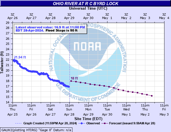
Ohio River at R C Byrd Lock
Critical Stages
48' - Action
50' - Flood
52' - Moderate
56' - Major
Latest Observation
Updated: 1:00 AM EST 12/5/25
Status: No Flooding
Stage: 14.25 ft
Flow: -999 kcfs
Forecast
| Time | Stage (ft) | Flow (kcfs) |
|---|---|---|
| 7 AM 12/5 | 14.3 | -999 |
| 1 PM 12/5 | 14.2 | -999 |
| 7 PM 12/5 | 14.1 | -999 |
| 1 AM 12/6 | 14 | -999 |
| 7 AM 12/6 | 14 | -999 |
| 1 PM 12/6 | 13.9 | -999 |
| 7 PM 12/6 | 13.9 | -999 |
| 1 AM 12/7 | 13.8 | -999 |
| 7 AM 12/7 | 13.8 | -999 |
| 1 PM 12/7 | 13.7 | -999 |
| 7 PM 12/7 | 13.7 | -999 |
| 1 AM 12/8 | 13.7 | -999 |
| 7 AM 12/8 | 13.7 | -999 |
| 1 PM 12/8 | 13.7 | -999 |
| 7 PM 12/8 | 13.7 | -999 |
| 1 AM 12/9 | 13.7 | -999 |
| 7 AM 12/9 | 13.7 | -999 |
| Time | Stage (ft) | Flow (kcfs) |
|---|---|---|
| 1:00 AM 12/5 | 14.25 | -999 |
| 12:30 AM 12/5 | 14.18 | -999 |
| 12:00 AM 12/5 | 14.2 | -999 |
| 11:30 PM 12/4 | 13.96 | -999 |
| 11:00 PM 12/4 | 13.92 | -999 |
| 10:30 PM 12/4 | 13.94 | -999 |
| 10:00 PM 12/4 | 13.89 | -999 |
| 9:30 PM 12/4 | 13.9 | -999 |
| 9:00 PM 12/4 | 13.93 | -999 |
| 8:30 PM 12/4 | 13.89 | -999 |
| 8:00 PM 12/4 | 13.91 | -999 |
| 7:30 PM 12/4 | 13.9 | -999 |
| 7:00 PM 12/4 | 13.95 | -999 |
| 6:30 PM 12/4 | 13.97 | -999 |
| 6:00 PM 12/4 | 14.27 | -999 |
| 5:30 PM 12/4 | 13.97 | -999 |
| 5:00 PM 12/4 | 14.02 | -999 |
| 4:30 PM 12/4 | 14.04 | -999 |
| 4:00 PM 12/4 | 14.06 | -999 |
| 3:30 PM 12/4 | 14.12 | -999 |
| 3:00 PM 12/4 | 14.29 | -999 |
| 2:30 PM 12/4 | 14.31 | -999 |
| 2:00 PM 12/4 | 14.72 | -999 |
| 1:30 PM 12/4 | 14.78 | -999 |
| 1:00 PM 12/4 | 14.91 | -999 |
| 12:30 PM 12/4 | 15.21 | -999 |
| 12:00 PM 12/4 | 15.3 | -999 |
| 11:30 AM 12/4 | 15.3 | -999 |
| 11:00 AM 12/4 | 15.46 | -999 |
| 10:30 AM 12/4 | 15.48 | -999 |
67.9' -
In Gallipolis, all of Front Street, Second, Third and Fourth Avenues are flooded.
56' -
The City of Gallipolis is surrounded by water.
52' -
Cultivated lands and low sections along the West Virginia side of the river are flooded.
50' -
Sections of Route 7 and portions of Gallipolis along the immediate river will flood. Also, bottom lands on the Ohio side of the river are flooded.
49' -
Sections of Route 7 in Ohio at Teens Run, Chickamauga Creek, Kyger Creek, Clay Chapel, Clay School and just above Route 218 start to flood. Also, sections of Route 2 in West Virginia at Jerry's Run, the old Coast Guard Station and Glenwood start to flood.
41' -
The Spruce Street Chickamauga Creek bridge is closed due to flooding of low areas around the bridge.
| Date | Stage (ft) |
|---|---|
| Jan 27, 1937 | 69.6 |
| Mar 30, 1913 | 67.9 |
| Feb 11, 1884 | 65.5 |
| Apr 16, 1948 | 61.1 |
| Mar 23, 1936 | 60.45 |
| Jan 2, 1943 | 60.4 |
| Mar 10, 1945 | 59.25 |
| Mar 8, 1955 | 57.5 |
| Apr 23, 1940 | 57.1 |
| Mar 22, 1933 | 56.4 |
| Mar 4, 1997 | 55 |
| Feb 5, 1939 | 54.6 |
| Jan 30, 1952 | 53.9 |
| Feb 3, 1950 | 53.6 |
| Feb 27, 1979 | 52.6 |
| Feb 19, 2018 | 52.1 |
| Dec 9, 1950 | 52.1 |
| Jan 21, 1996 | 51.6 |
| Feb 20, 2018 | 51.52 |
| Mar 13, 2011 | 51.31 |
Data provided by the National Weather Service.