Gulkana River at the Richardson Highway near Gulkana
Critical Stages
9' - Action
10' - Flood
10.5' - Moderate
Major
Latest Observation
Updated: 2:00 PM LMT 1/1/01
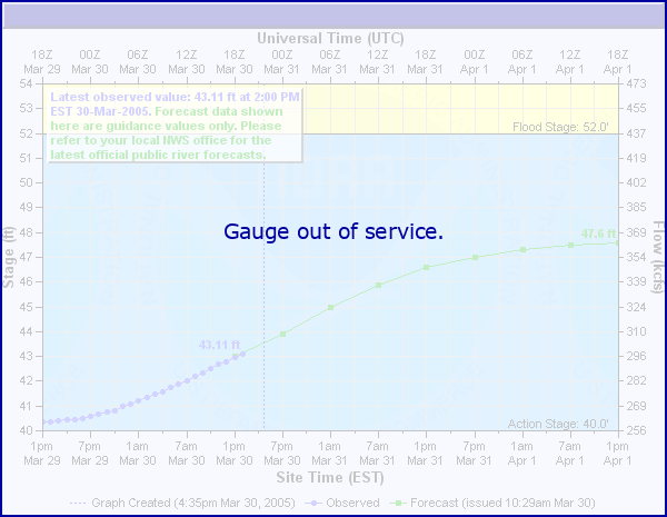
Status: Out Of Service
Stage: -999 ft
Flow: -999 kcfs
Forecast
Forecast not available for this location.
Observation history not available.
31.3' -
Bridge Low Cord
11' -
Stage associated with flow (17700 cfs) having a recurrence interval of >50 years; major flooding would be expected on this and nearby streams
10.5' -
Stage associated with flow (15800 cfs) having a recurrence interval of ~20-40 years; moderate flooding would be expected on this and nearby streams
10' -
Stage associated with flow (12400 cfs) having a recurrence interval of ~10 years; minor flooding would be expected on this and nearby streams
9.5' -
Bankfull conditions. Lower parking lot at Richardon Highway boat launch becomes flooded.
9' -
Bankfull -- stage associated with flow (7700 cfs) having a recurrence interval of ~2 years
8' -
High water level -- Class III+ whitewater above Sourdough; Class II+ below Sourdough
7' -
Medium water level -- Class III whitewater above Sourdough; Class II below Sourdough
6' -
Low water level -- Class III whitewater above Sourdough; Class II below Sourdough
| Date | Stage (ft) |
|---|---|
| May 11, 1986 | 18.45 |
| May 30, 2013 | 12.13 |
| May 12, 1982 | 11.65 |
| May 4, 2007 | 10.85 |
| Dec 29, 2000 | 10.71 |
| May 4, 1989 | 10.4 |
| Jun 18, 1985 | 10.35 |
| May 4, 2009 | 10.28 |
| Jun 2, 1988 | 10 |
| Sep 13, 1990 | 9.93 |
| Jun 18, 1984 | 9.75 |
| Aug 27, 1983 | 9.75 |
| May 6, 2011 | 9.74 |
| May 9, 1991 | 9.55 |
| Jun 15, 2012 | 9.38 |
| Jun 1, 2021 | 9.33 |
| May 12, 1992 | 9.3 |
| Aug 24, 2006 | 9.3 |
| May 13, 1993 | 9.09 |
| Jun 3, 1992 | 9.05 |
Data provided by the National Weather Service.