Tazlina River near Glennallen
Critical Stages
28.5' - Action
31' - Flood
32' - Moderate
36' - Major
Latest Observation
Updated: 2:00 PM LMT 1/1/01
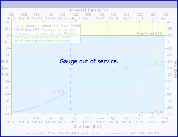
Status: Out Of Service
Stage: -999 ft
Flow: -999 kcfs
Forecast
Forecast not available for this location.
Observation history not available.
42.8' -
Bridge Low Cord
34.5' -
Water will be at the top of the riprap on the right bank just downstream of the Richardson Highway Bridge.
31' -
Minor flood stage; confirmed in a site visit on August 9, 2004.
| Date | Stage (ft) |
|---|---|
| May 31, 2008 | 41.77 |
| Aug 2, 1995 | 36.25 |
| Aug 14, 1997 | 35 |
| Aug 6, 2004 | 32.7 |
| Aug 12, 2000 | 31.45 |
| Jul 19, 2003 | 31.3 |
| Sep 11, 2005 | 30.45 |
| Sep 12, 2001 | 29.55 |
| Aug 8, 1999 | 29.5 |
| Jul 27, 2016 | 29.3 |
| Sep 23, 2014 | 29.08 |
| Jul 22, 1998 | 28.95 |
| Jul 29, 2002 | 28.48 |
| Jul 28, 2017 | 28.46 |
| Jul 30, 2021 | 28.42 |
| Aug 12, 2010 | 27.99 |
| Aug 24, 2015 | 27.84 |
| Aug 5, 1996 | 26.92 |
Data provided by the National Weather Service.