« Back to Greenfield Community College Rivers
Battenkill at Arlington
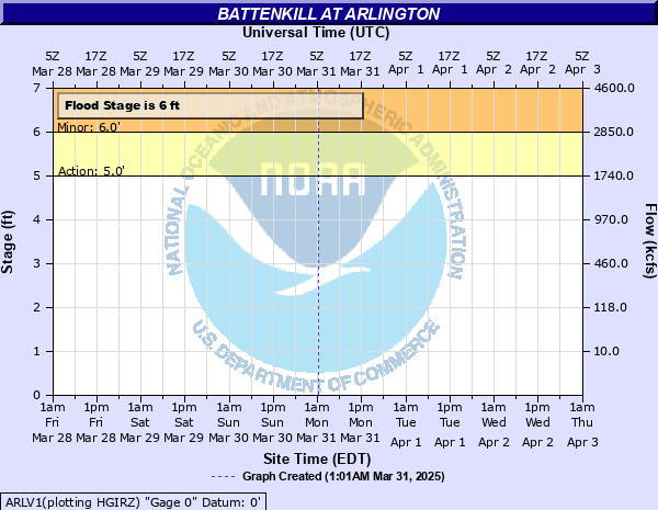
Critical Stages
5' - Action
6' - Flood
7' - Moderate
9' - Major
Latest Observation
Updated: 7:03 PM LMT 12/31/00
Status: Obs Not Current
Stage: -999 ft
Flow: -999 kcfs
Forecast
Forecast not available for this location.
Observation history not available.
7' -
Water reaches Route 7A and approaches nearby homes.
6' -
Water begins to flood lowlands.
| Date | Stage (ft) |
|---|---|
| Mar 18, 1936 | 11.3 |
| Dec 31, 1948 | 9.77 |
| Aug 10, 1976 | 9.37 |
| Jun 30, 1973 | 9.31 |
| Sep 21, 1938 | 9.08 |
| Mar 14, 1977 | 9.06 |
| May 30, 1984 | 8.96 |
| Apr 18, 1982 | 8.67 |
| Jun 7, 1935 | 8.4 |
| Feb 21, 1981 | 8.3 |
| Jan 3, 1979 | 8.26 |
| Mar 31, 1977 | 8.19 |
| May 2, 1983 | 8.19 |
| Dec 14, 1983 | 8.17 |
| Apr 2, 1976 | 8.08 |
| Apr 10, 1980 | 7.93 |
| Jul 13, 1976 | 7.87 |
| Mar 22, 1980 | 7.87 |
| Oct 18, 1977 | 7.86 |
| Apr 25, 1983 | 7.85 |
Data provided by the National Weather Service.