« Back to Greenfield Community College Rivers
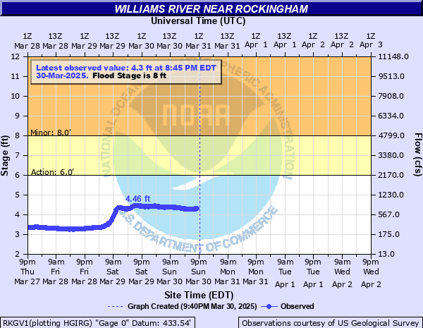
Williams River near Rockingham
Critical Stages
6' - Action
8' - Flood
12' - Moderate
15' - Major
Latest Observation
Updated: 9:45 AM EST 12/9/25
Status: No Flooding
Stage: 2.35 ft
Flow: 0.0461 kcfs
Forecast
Forecast not available for this location.
| Time | Stage (ft) | Flow (kcfs) |
|---|---|---|
| 9:45 AM 12/9 | 2.35 | 0.0461 |
| 9:30 AM 12/9 | 2.36 | 0.0474 |
| 9:15 AM 12/9 | 2.36 | 0.0474 |
| 9:00 AM 12/9 | 2.37 | 0.0488 |
| 8:45 AM 12/9 | 2.37 | 0.0488 |
| 8:30 AM 12/9 | 2.38 | 0.0501 |
| 8:15 AM 12/9 | 2.38 | 0.0501 |
| 8:00 AM 12/9 | 2.38 | 0.0501 |
| 7:45 AM 12/9 | 2.37 | 0.0488 |
| 7:30 AM 12/9 | 2.37 | 0.0488 |
| 7:15 AM 12/9 | 2.36 | 0.0474 |
| 7:00 AM 12/9 | 2.35 | 0.0461 |
| 6:45 AM 12/9 | 2.34 | 0.0448 |
| 6:30 AM 12/9 | 2.33 | 0.0436 |
| 6:15 AM 12/9 | 2.32 | 0.0424 |
| 6:00 AM 12/9 | 2.31 | 0.0412 |
| 5:45 AM 12/9 | 2.31 | 0.0412 |
| 5:30 AM 12/9 | 2.31 | 0.0412 |
| 5:15 AM 12/9 | 2.31 | 0.0412 |
| 5:00 AM 12/9 | 2.31 | 0.0412 |
| 4:45 AM 12/9 | 2.32 | 0.0424 |
| 4:30 AM 12/9 | 2.33 | 0.0436 |
| 4:15 AM 12/9 | 2.34 | 0.0448 |
| 4:00 AM 12/9 | 2.35 | 0.0461 |
| 3:45 AM 12/9 | 2.35 | 0.0461 |
| 3:30 AM 12/9 | 2.35 | 0.0461 |
| 3:15 AM 12/9 | 2.34 | 0.0448 |
| 3:00 AM 12/9 | 2.33 | 0.0436 |
| 2:45 AM 12/9 | 2.33 | 0.0436 |
| 2:30 AM 12/9 | 2.33 | 0.0436 |
No flood impact data available for this location.
| Date | Stage (ft) |
|---|---|
| Aug 28, 2011 | 17.94 |
| Jul 10, 2023 | 16.16 |
| Dec 18, 2023 | 11.1 |
| Mar 29, 1993 | 9.98 |
| Jul 28, 2014 | 9.87 |
| Apr 3, 2005 | 9.69 |
| May 14, 2006 | 9.54 |
| Dec 25, 2020 | 9.45 |
| Jan 19, 1996 | 9.41 |
| Jan 27, 1996 | 9.05 |
| Dec 23, 2022 | 9.04 |
| Mar 15, 2007 | 8.99 |
| Oct 29, 2003 | 8.77 |
| Apr 16, 1996 | 8.71 |
| Mar 7, 2024 | 8.68 |
| Jul 13, 1996 | 8.58 |
| Oct 30, 2017 | 8.5 |
| Nov 12, 1995 | 8.5 |
| Jan 12, 2014 | 8.45 |
| Apr 22, 2001 | 8.42 |
Data provided by the National Weather Service.